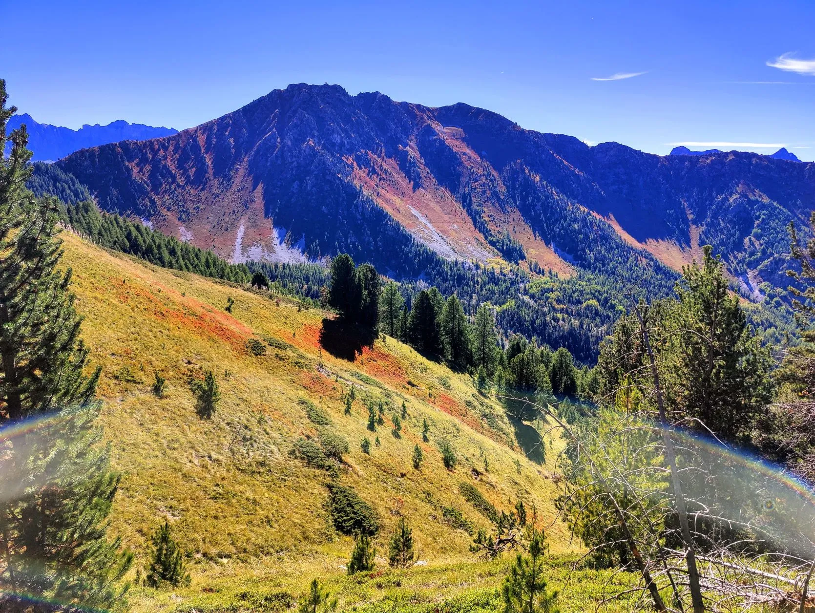
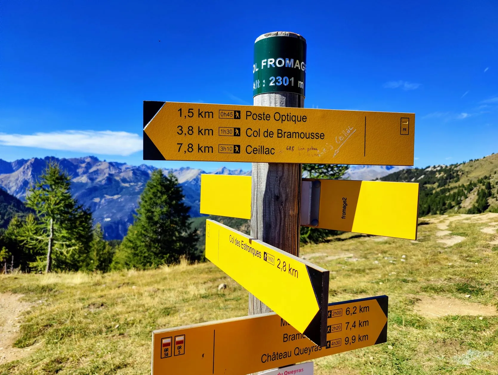
Long but beautiful stage through the Queyras. The first part descends to Chateau-Ville-Vieille with only occasional ascents. Here is the beautiful Fort Queyras. From here begins a decent climb of almost 1000 altimeters over 6.5 km through a beautiful wooded valley. At the top at Col Fromage there are magnificent views over the Queyras. Then the route descends 5.5 km to Ceillac. The stage is rather long, but good to hike.
When we wake up this morning, we're surprised to find that, for the first time in a very long time, our tent is dry. It's a pleasant surprise, because it makes packing a lot easier and faster. Now we only have to dry our groundsheet during the break, superb! That's the advantage of being under pine trees on sandy ground, the air is a lot drier.

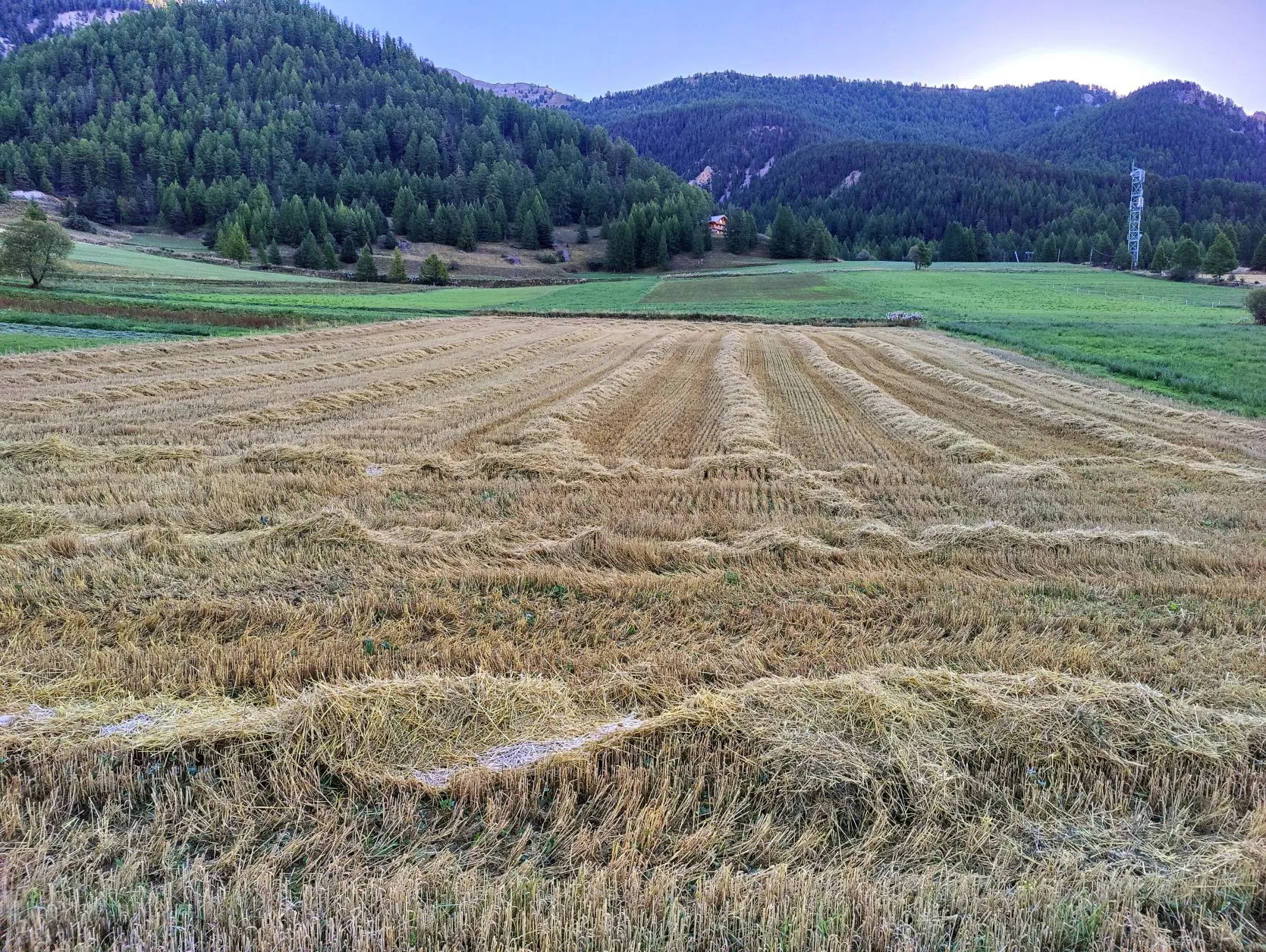
A little earlier than usual we walk off the campsite. The legs are warmed up with a flat stretch on asphalt. It's a beautiful road through meadows between the mountains. As we pass a mowed wheat field, we can see the frost on the threshed stalks. It froze last night, which is a first! We already heard from someone in Briançon how quickly the weather changes from winter to summer in spring. If it goes from summer to winter that quickly too, we'd better hurry, or we'll still be putting our skis on...
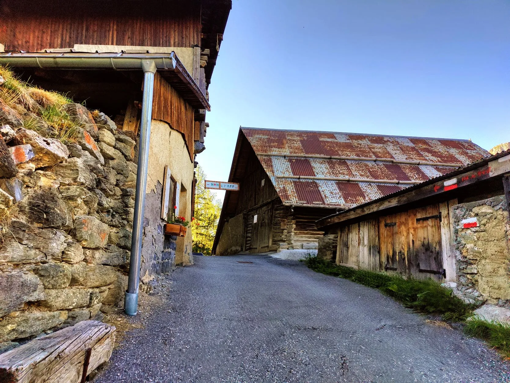
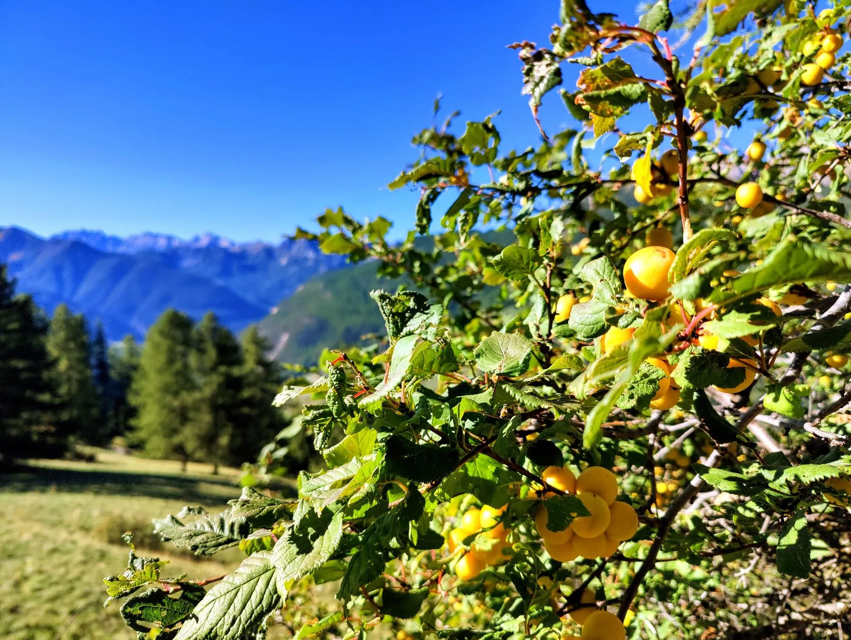
The sun shines high against the mountains and it will be a while before we walk in the sun ourselves. So the vests stay on for a long time this morning. We walk past the village of Brunissard, along the road towards La Chalp and from there up through the woods to the hamlet of Les Maisons. Another cute little village, with houses as if nothing has been changed in 100 years. Meanwhile, we have climbed a lot higher and are enjoying the bright morning sun. On the way we pass some old bushes with yellow plums. They look beautiful, but the season seems to have passed its peak when we taste them: there is little flavor and they are rather mealy.
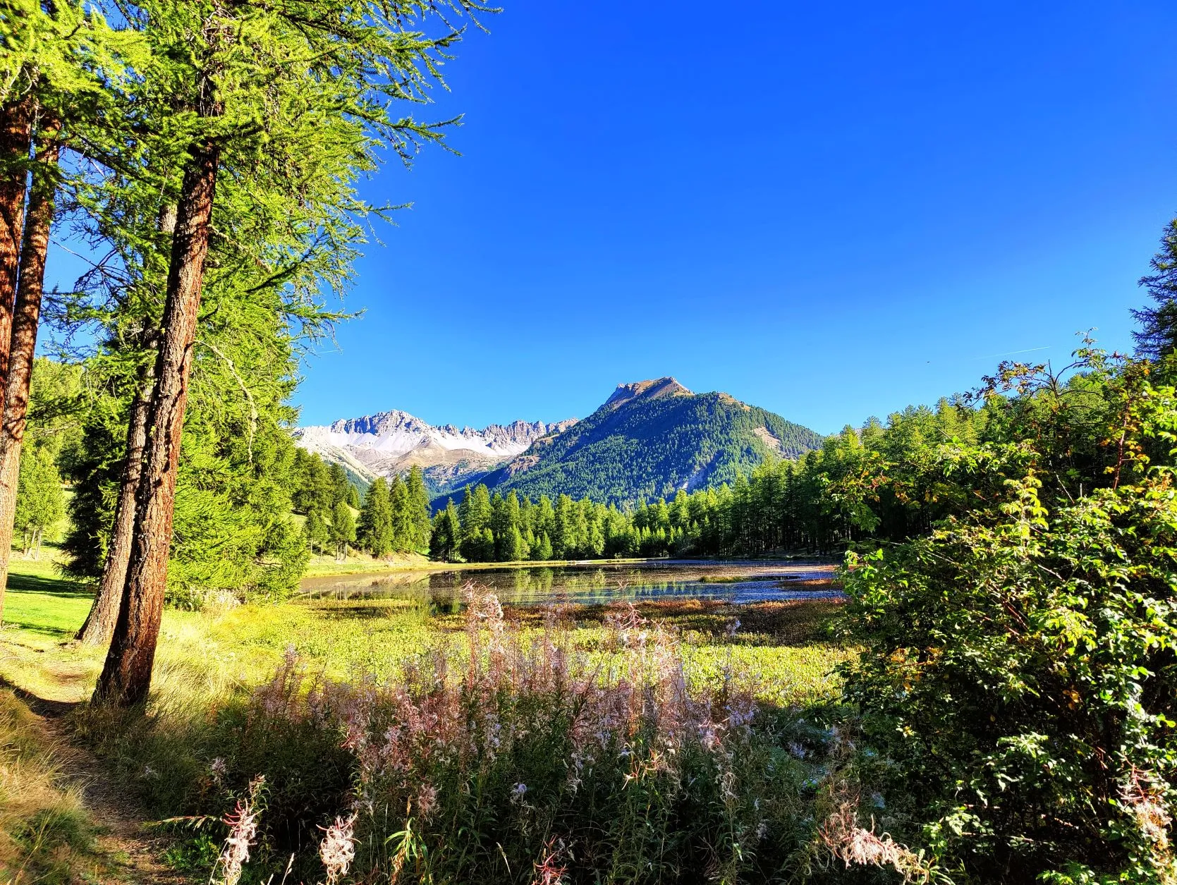
Just before we begin the descent to Chateau Queyras, we pass through a forest with tall larches and fresh green grass under the trees. We pass Lac de Roue and are amazed by the beauty of the lake. The mountains in the distance are reflected in the surface of the water. We hesitate for a moment whether to pause here, but it's really too early in the hike, so we start the descent to the village. A 3 kilometer stretch in which we descend 720 meters. Wow that's steep, but fortunately we are getting more adept at it.
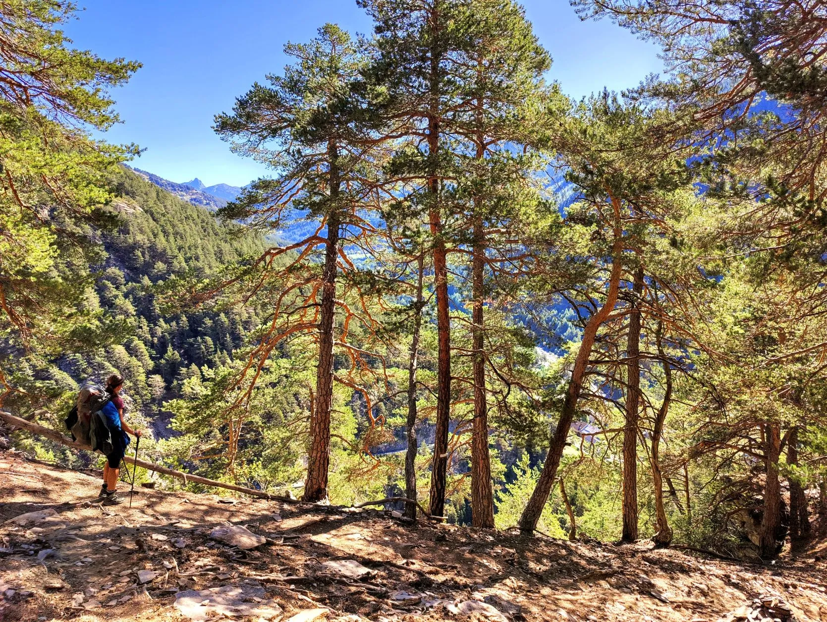
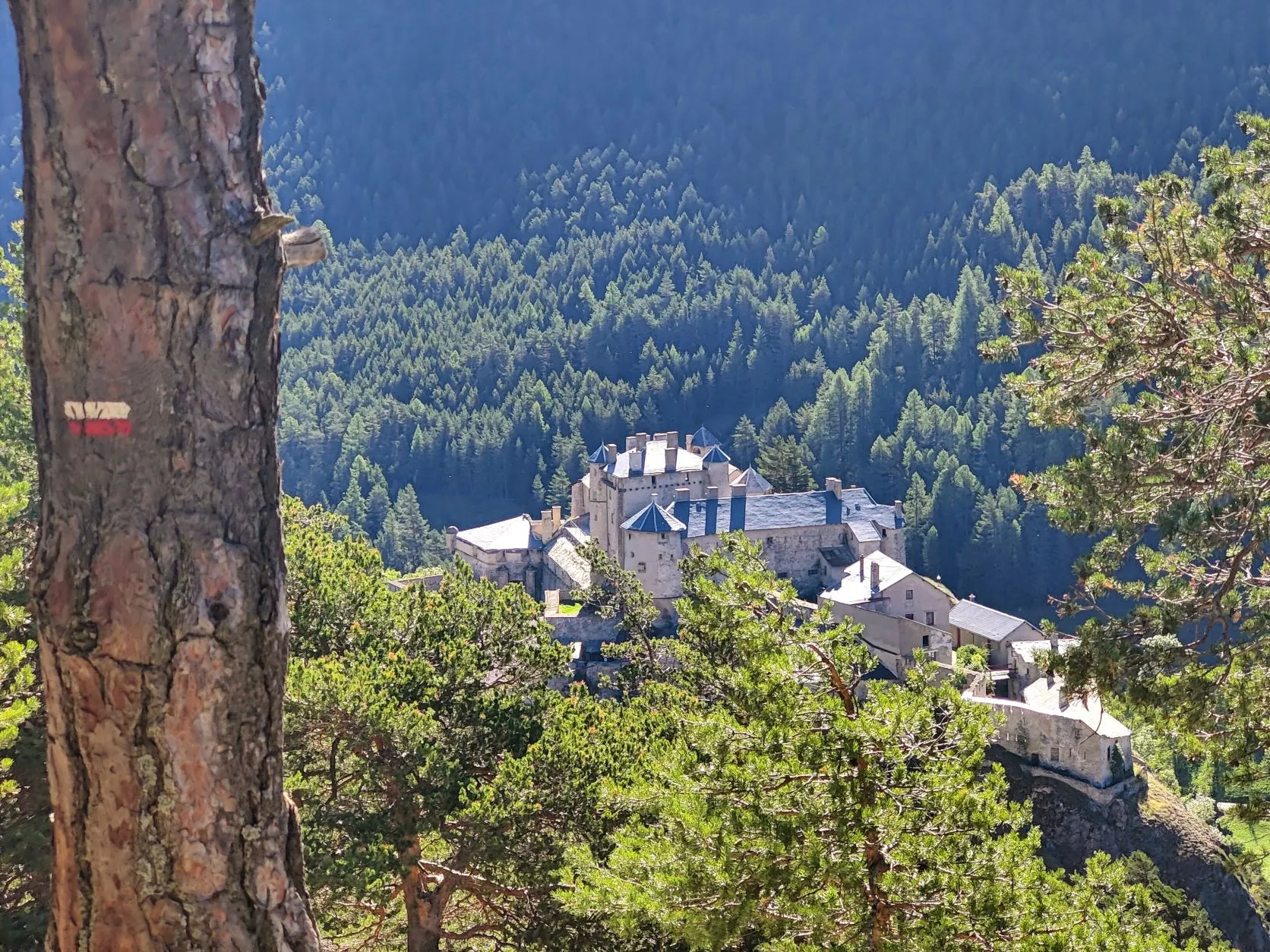
We zigzag between the larches and get a nice view through to Fort Queyras. A fortified castle from the second half of the 13th century and built on a rock in the middle of a narrow valley. Down at the foot of the rock we find a little square with grass, picnic benches in the sun and drinking water. Time for a break! We hang out the ground sheet for a while and it's dry before the water boils: it's starting to get hot!
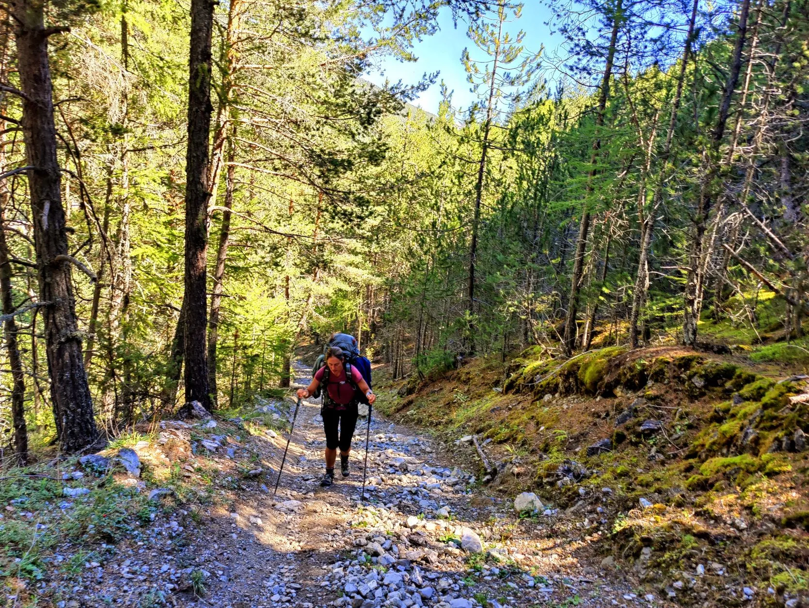
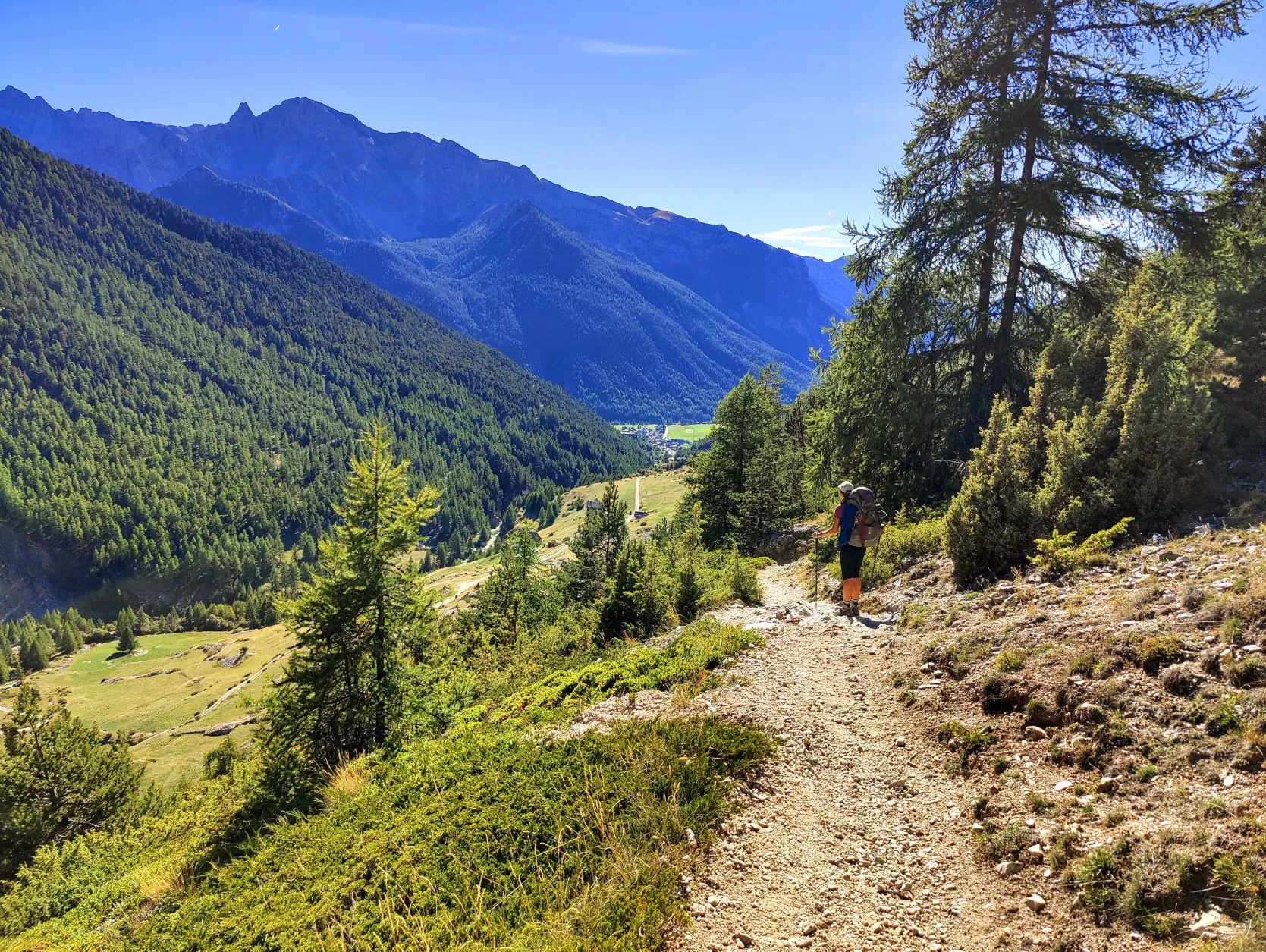
After the break, a climb of 800 meters in 7.5 kilometers awaits us, so we make sure we start the climb well rested and hydrated. The first meters are tough, then the climb is manageable.
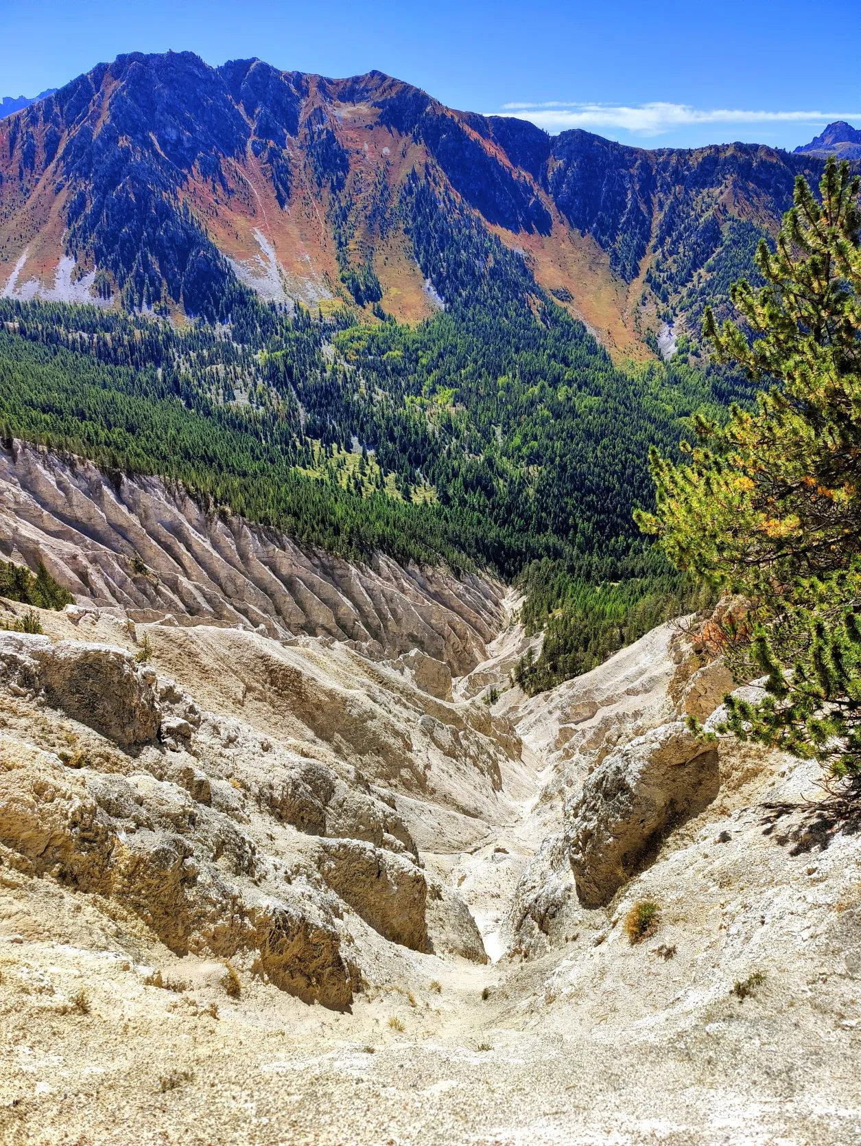
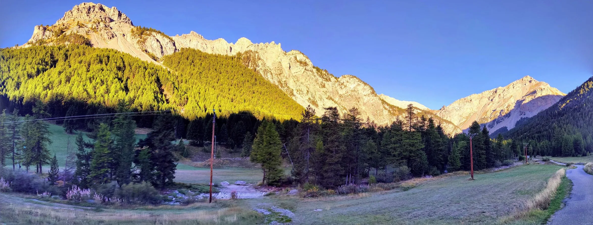
In previous valleys, as we passed the 2,000 meter altitude limit, it became increasingly barren in terms of trees, but in the valley we are walking today we are still in quite a forested area at 2,200 meters. The tree line of an area is determined by the average temperature during the growing season, and here we slowly begin to notice that we are getting more southern. It's a bit warmer at these higher altitudes and trees can grow better. Not only do we see the tree line change, but also the rock we encounter here is different. In the northern Alps it was mostly hard rocks like basalt and slate; here we walk among softer, chalky stone. We see some boulders with fossils in them and gigantic erosions where pieces of mountain have been washed away. Impressive how deep the canyons are.
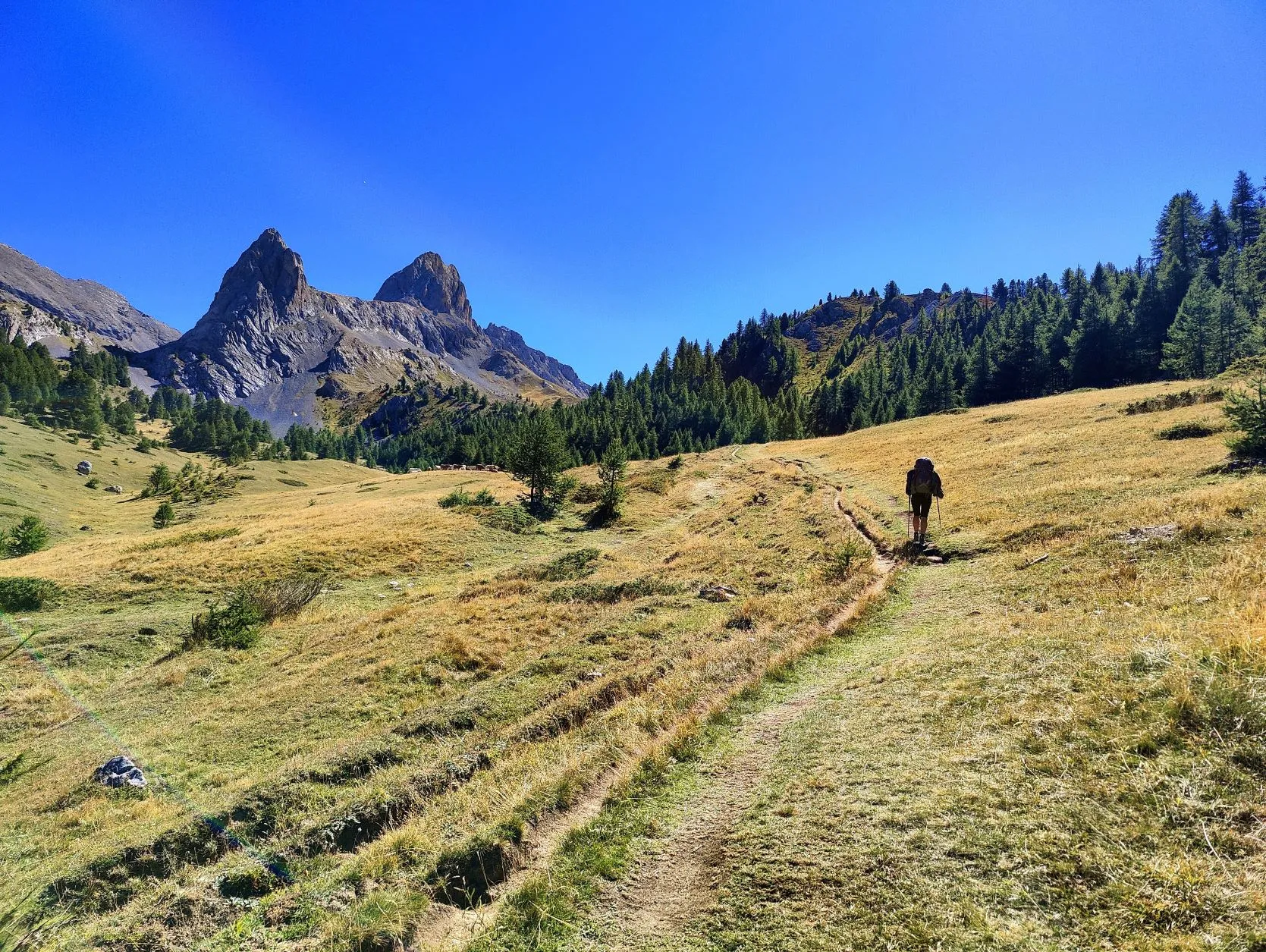
At Col Fromage we take a second break at 2,301 meters altitude, with a cheese sandwich and phenomenal views of the mountains of the
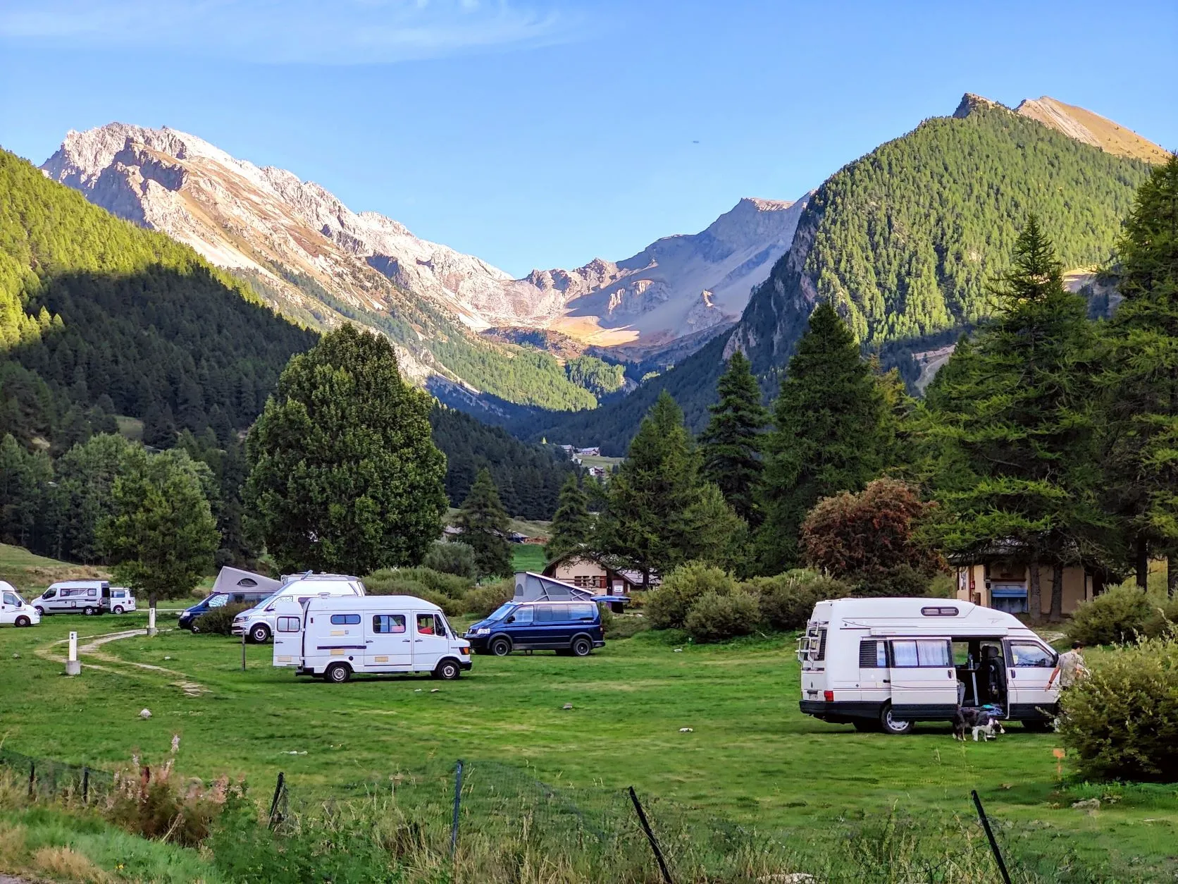
Queyras. All that remains for this stage is a descent to the village of Ceillac, which is about 700 meters lower. Yesterday we had the luxury of arriving at the campsite around 12.30 pm, now it's around 5 o'clock and we have to do some shopping in the village. The route passes an epicerie that fortunately is "already" open: the store has lunch break from 12.30 to 4 pm and is open until 7 pm. It's a small store, but they have everything we need for the next two days. There is a 20 mm rain forecast for the day after tomorrow, and since we can't do any shopping at the next place (the mini store in the local refuge is closed on Tuesdays and Wednesdays, exactly the days we would be there), we decide to spend the next few days in Ceillac, at the Municipal campsite les Moutêts.
We are on a lovely quiet spot between the mountains, overlooking a field where paragliders jump off the mountain. Beautiful to see! Ideal to get some rest, prepare the next stages and escape the rain....