This beautiful stage is the transition from the Queyras to the Ubaye. From Ceillac, the route follows the valley for a few kilometers. Then begins the climb of 1000 meters to Col Girardin at 2699 meters. Along the way, the route passes Lac Miroir and the blue lake Lac Sainte Anne with a chapel of the same name. The descent is initially on small paths, the last 11 kilometers it descends on asphalt but it is a beautiful road among the mountains.
We leave early in the morning at the campsite in Ceillac. It rained all day yesterday and last night as well, so a lot of our gear still feels a bit wet and clammy. We hope to find a good place to dry everything, because the backpacks feel a lot heavier due to the weight of all the moisture. The humidity in the air makes for beautiful pictures in the valley though; the patches of fog creeping up the mountain sides and the glistening dew on the grassland is beautiful.
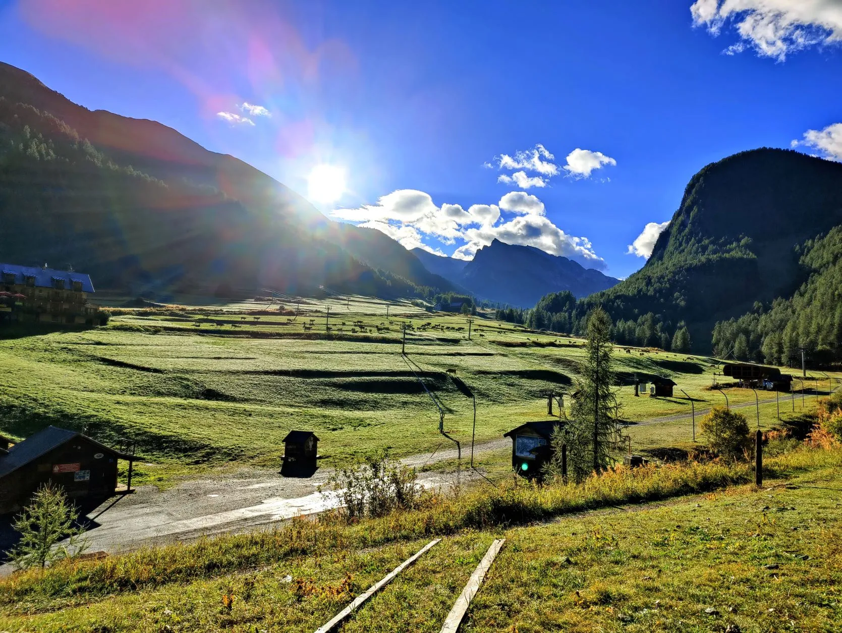
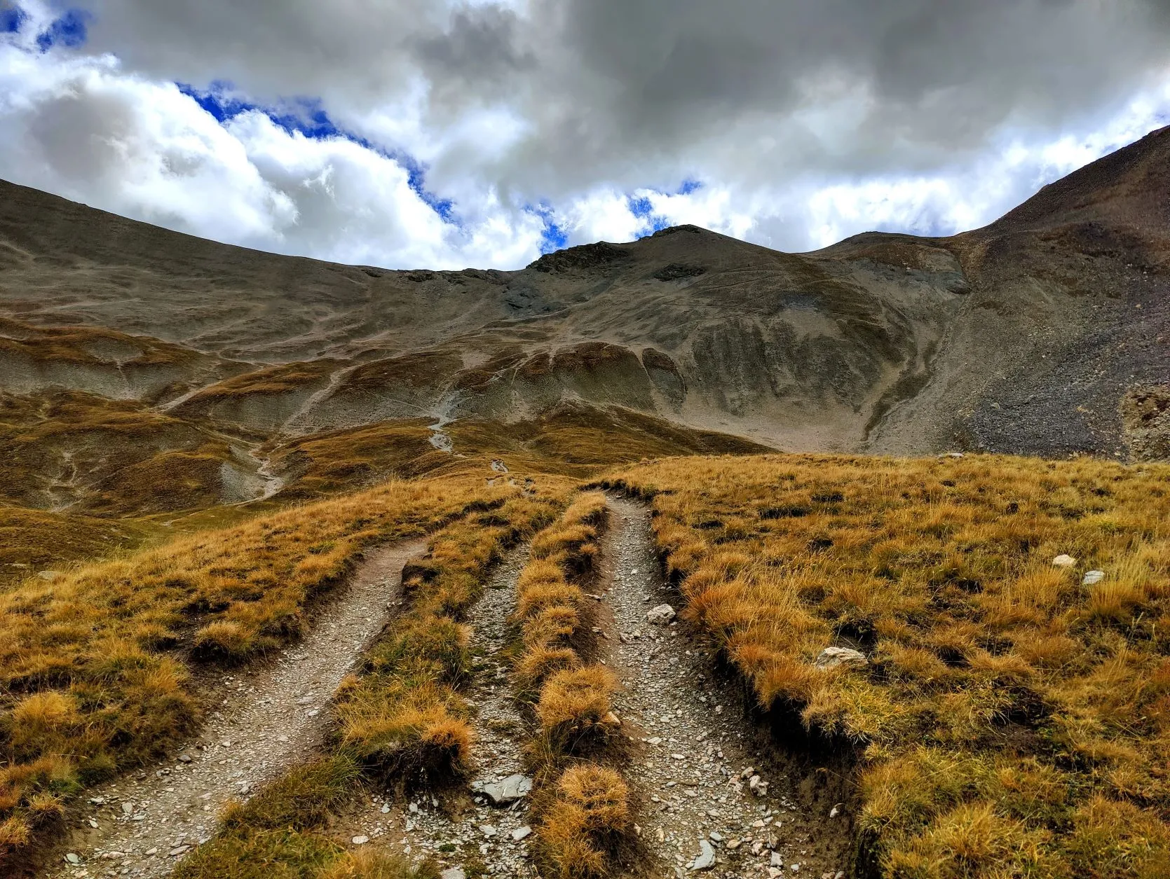
The sun is not yet over the mountains and it's chilly; it's one of the first mornings we leave with vests and down jackets on. The first stretch is flat through the valley so the extra warmth is nice. But as soon as the climbing starts, we take them off and walk up through the woods in our t-shirts. It is a tough climb: we are at 1,700 meters at the bottom and will climb to 2,700 meters almost in one go, so we are glad that it's cooler and that we walk in the shade of the mountain.
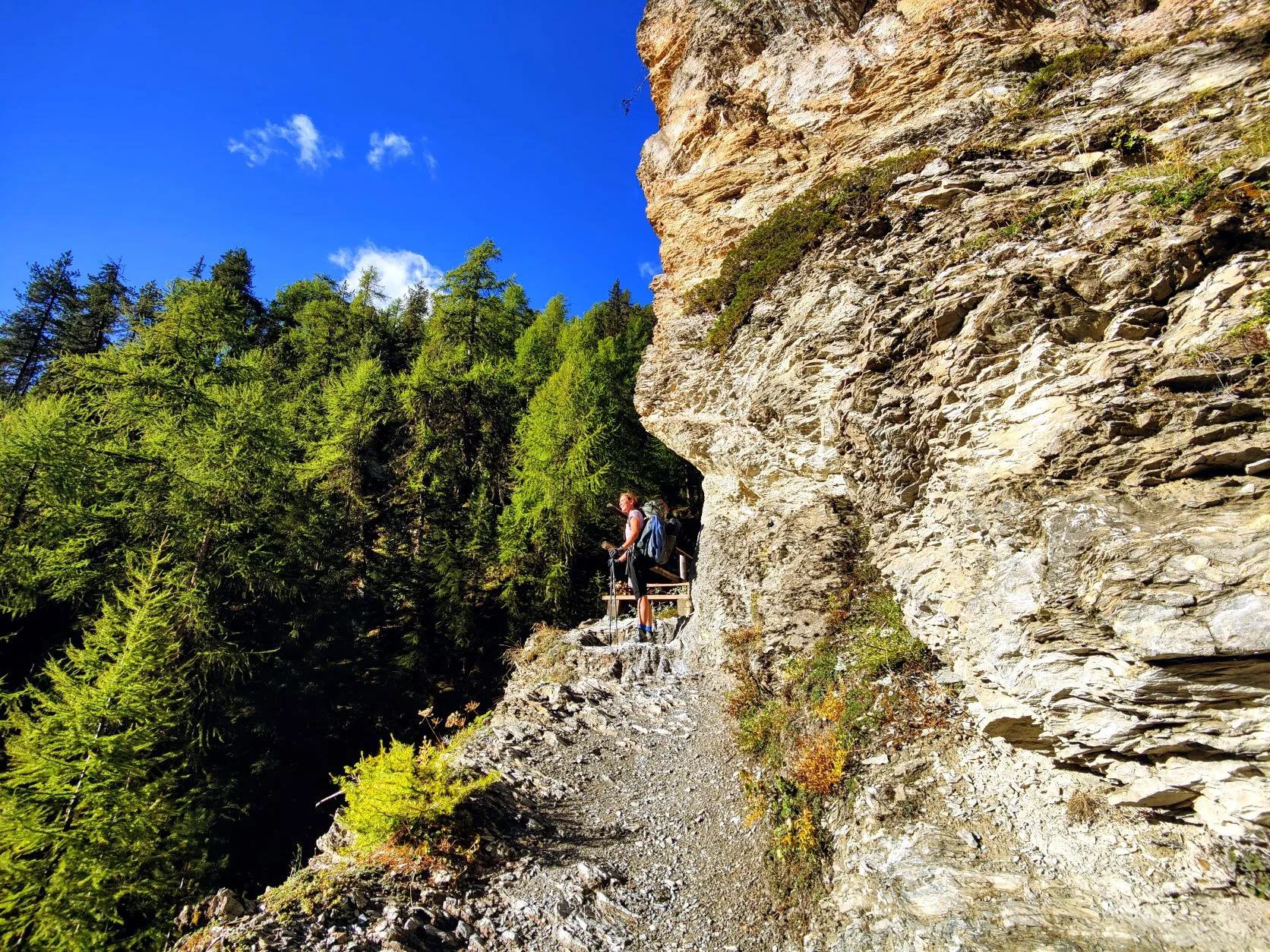
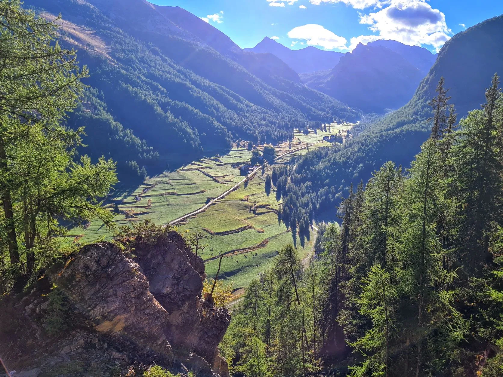
Because of last night's rain, the streams we pass have become substantial rivers and the narrow paths here and there are a bit slippery and difficult to walk on. We walk past some beautiful waterfalls and along high rock faces, where fortunately wooden bridges have been made on the worst parts of the path. There are some nice vistas between the trees to the valley, which soon seems very far away.
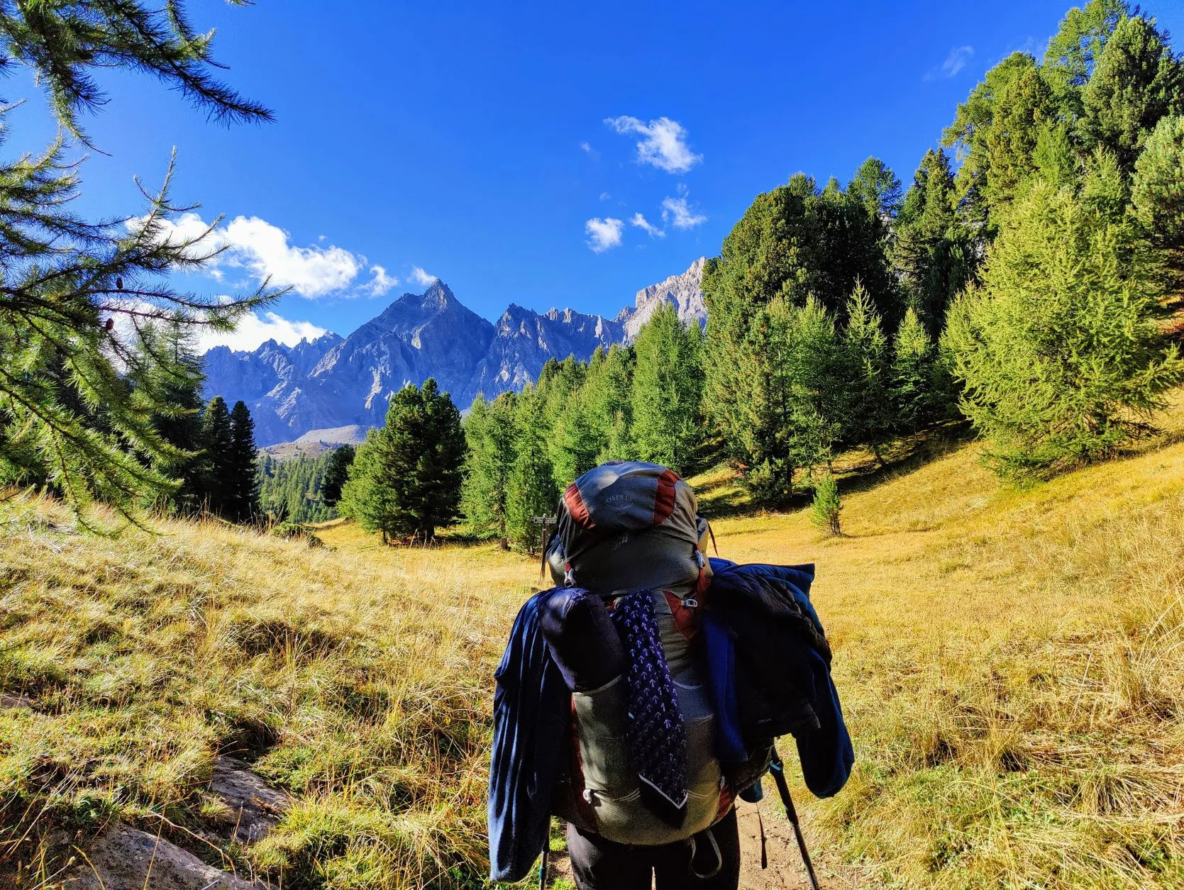
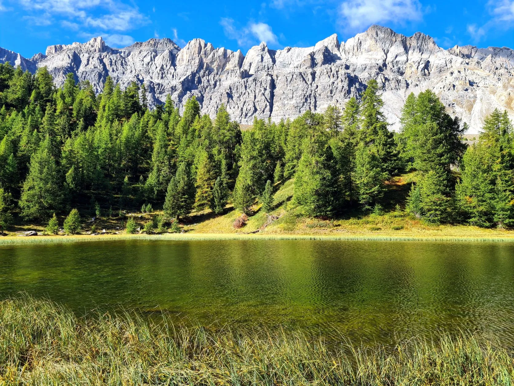
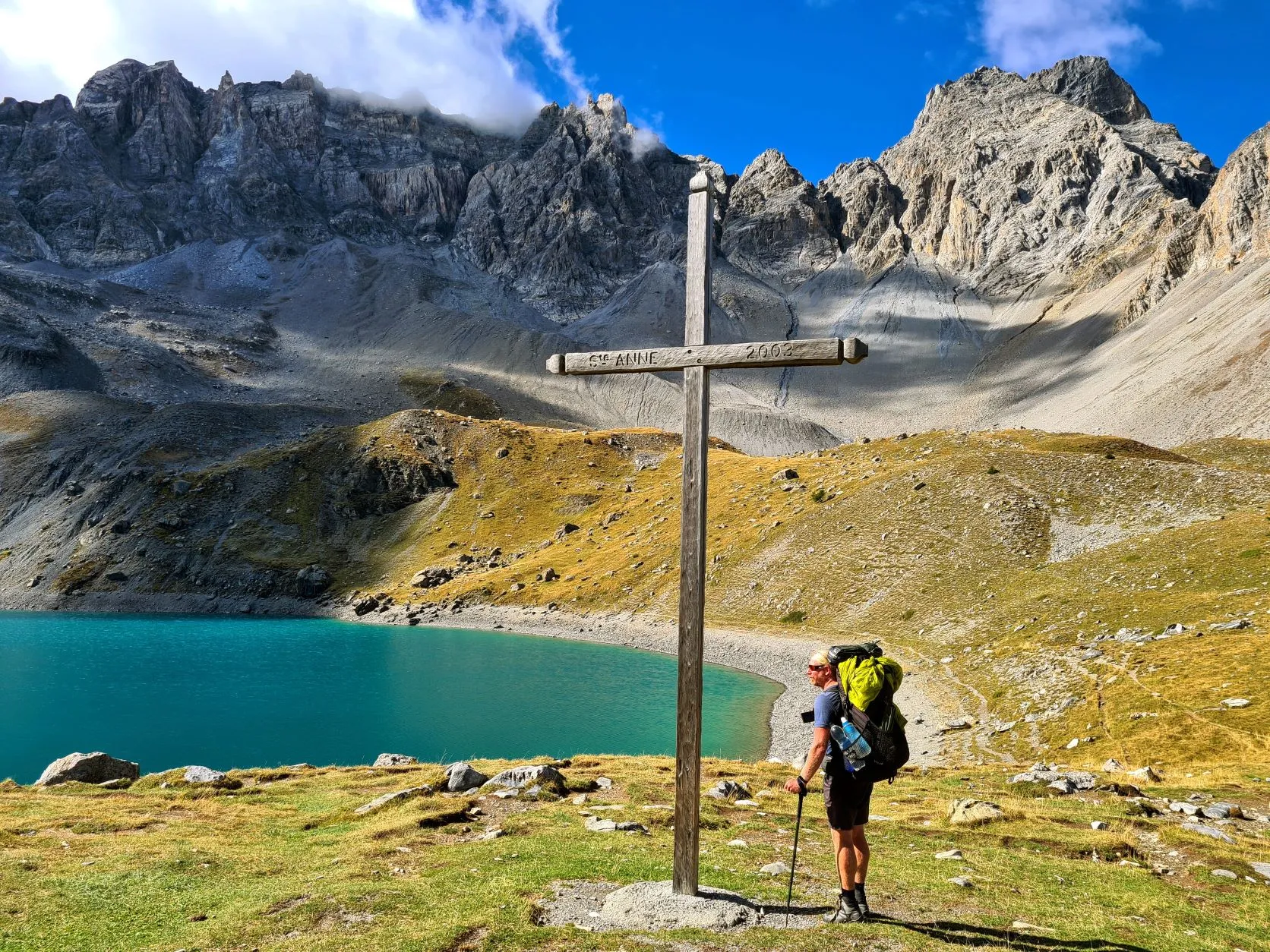
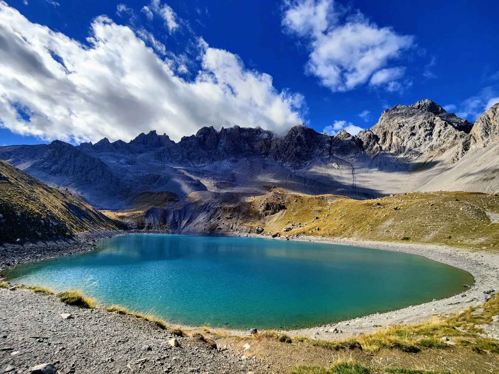
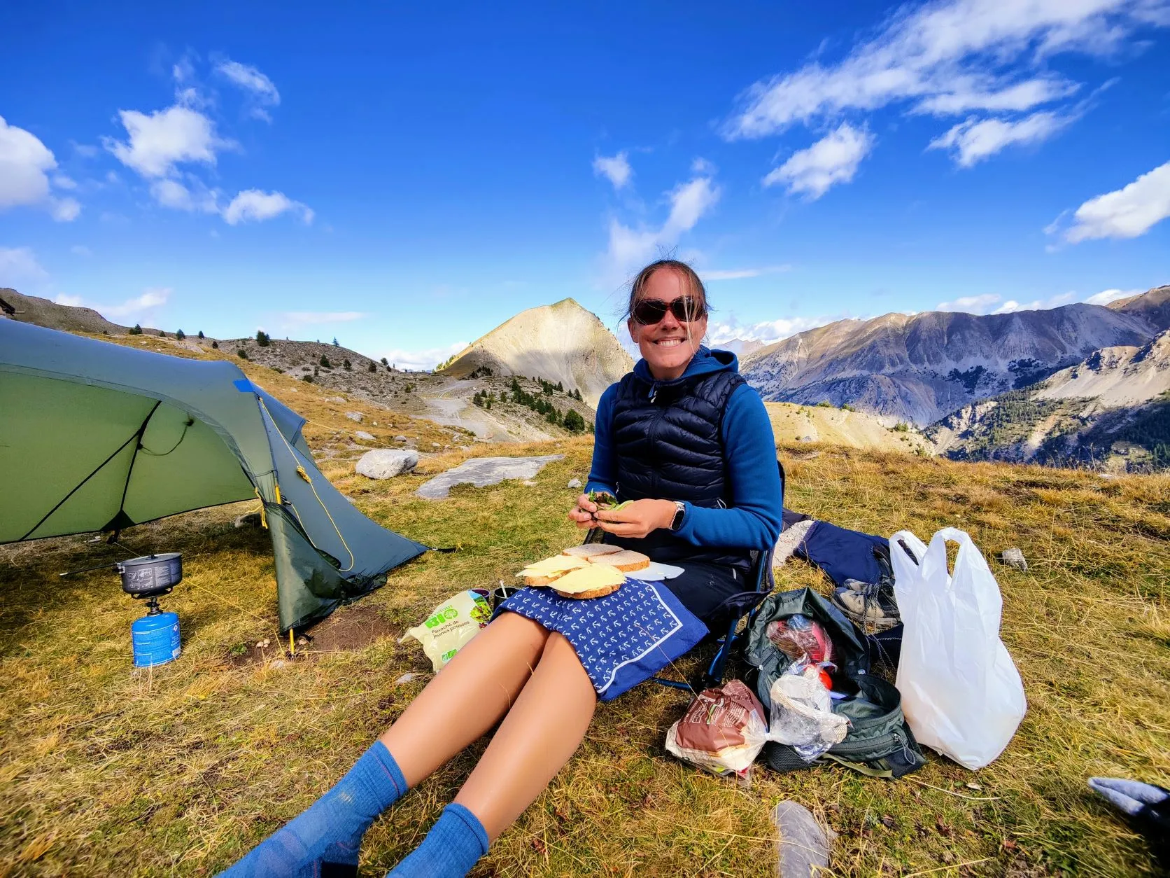
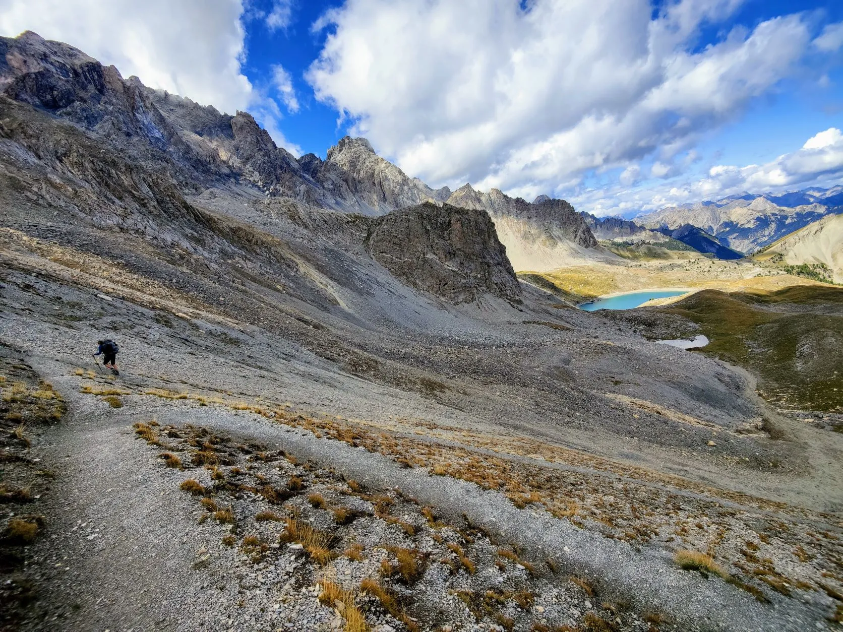
Once we get above 2,000 meters, the forest becomes a little less dense and there are more and more stretches of alpine meadows between the trees. Just above 2,200 meters, we enter a beautiful high valley where the trail flattens slightly for a stretch. Here lies Lac Miroir: a beautiful lake in the backdrop of the high mountains, surrounded by bare rock. Unfortunately, for the reflection the name suggests, the wind blows just a little too much, but it's a photogenic spot. At the end of the valley in which this lake lies, we ascend some 200 meters to the next valley. Just over the Col de Sainte-Anne is the lake Sainte- Anne, in Vallee Sainte-Anne with Chapelle Sainte-Anne at the edge of it. French people are so easy to give names... But what a beautiful valley this is! The clearest bluest water we have ever seen, surrounded by a ridge as if a stage cloth had been pulled down. So it's a place where many hikers come, especially since there is a parking lot an hour's walk away. There is a nice spot to pitch our tent and dry some clothes, so we take a long break at this beautiful place. It's a nice encampment this way, and several hikers ask us if we camped here last night. We explain in our ever-improving French that it's purely for drying and make several smalltalk about the area and our hike.
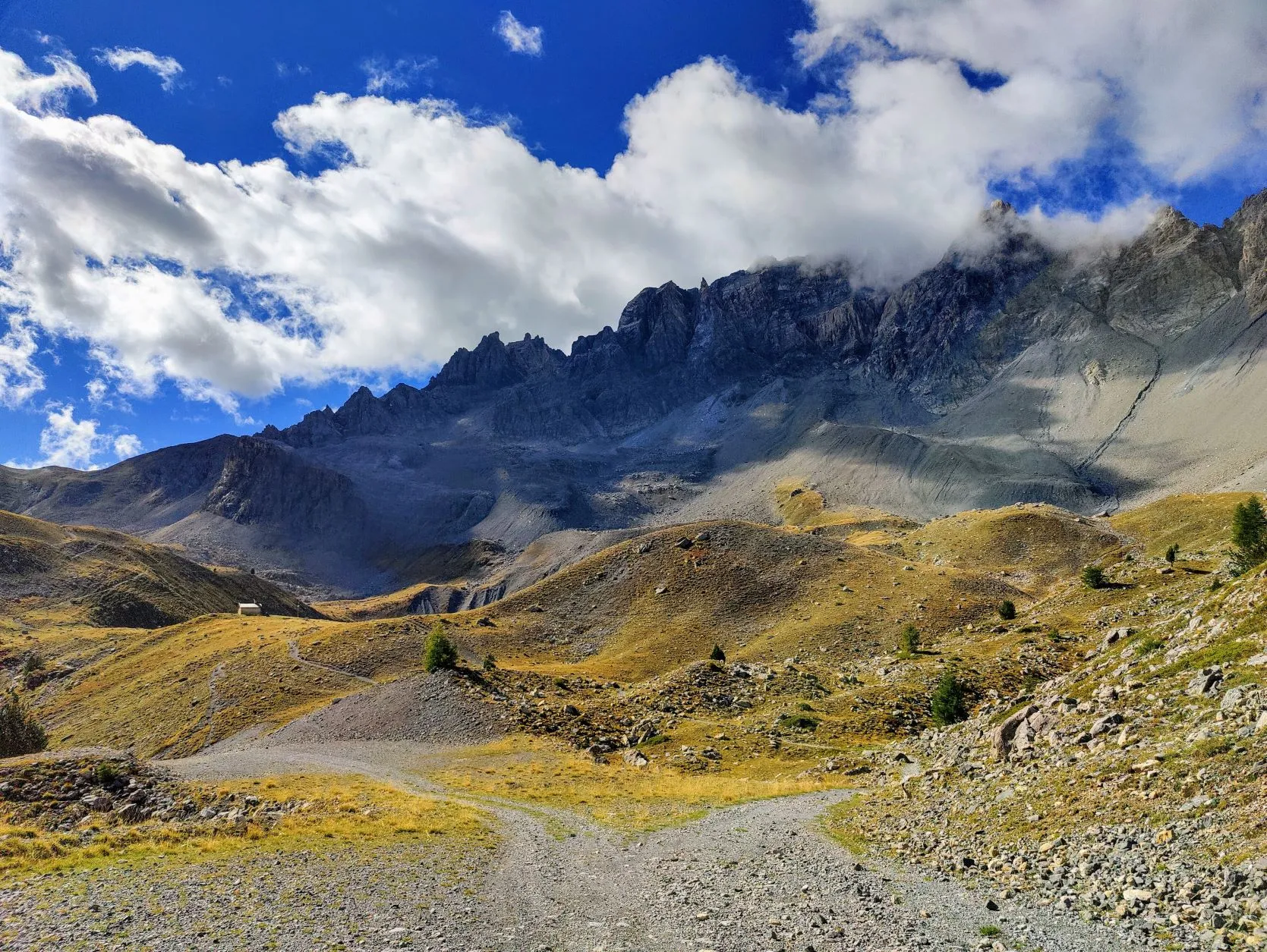
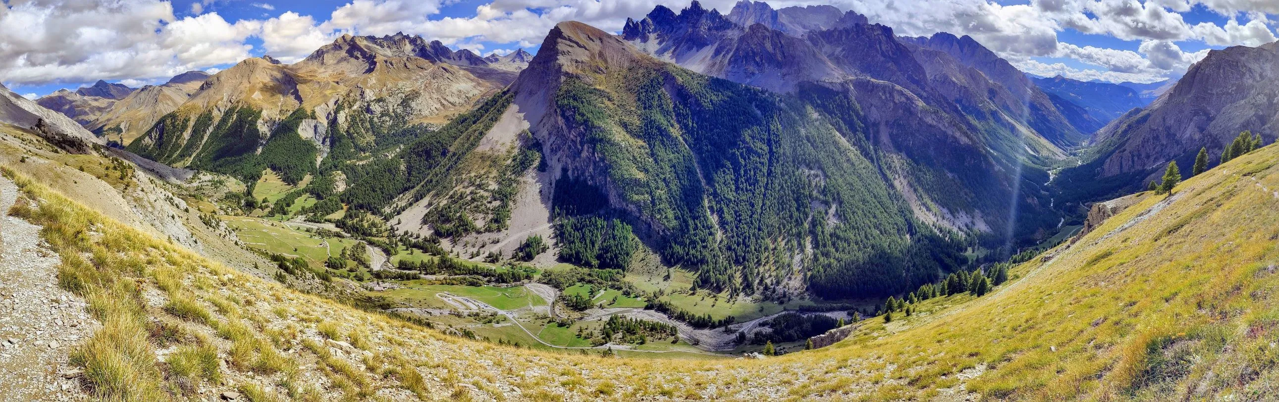
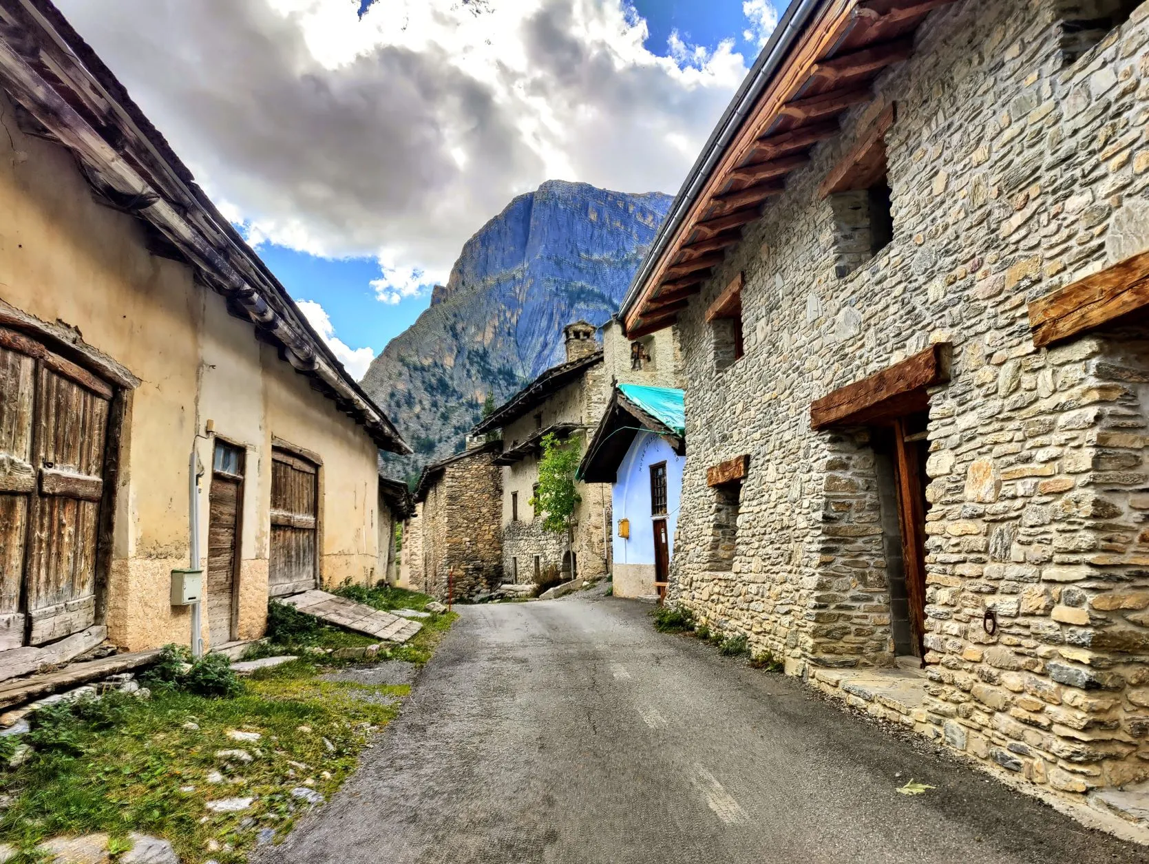
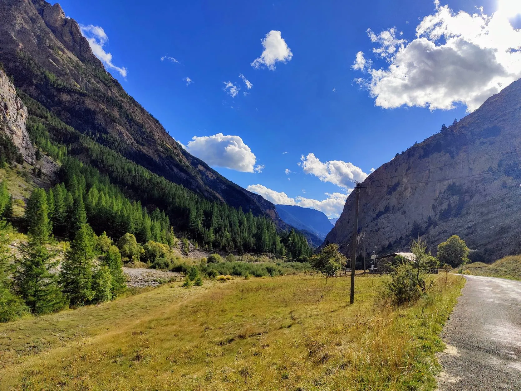
After this enjoyable break, we have a final stretch of climbing ahead of us, to Col Girardin at 2,699 meters, with next to us the Tête de la Petit Part,which at 3,144 meters is a pretty hefty mountain. From here we have magnificent views of the valley we have just passed through and the newvalley ahead... And on the descent. We can already see the river below, but it's about 900 meters lower. Deep, but not far though, because in 4 kilometers we'll already be there. That seems very steep, and it is, but the trails are easy to walk on, so we can keep a reasonable pace. We walk among the (almost tame) mountain marmots, and as we get lower, we walk more into a forest area. The roofs of the cottages and the cars on the road below us are rapidly increasing and in about 2 hours we arrive at the bottom, on a small asphalt road. Normally we're not big fans of asphalt walking, but after such a steep climb and descent, it's a nice walk. And besides, it's a beautiful road through the narrow valley of d'Ubaye. We will follow this road for about 11 kilometers to the campsite, except for small stretches where the GR5 briefly takes a side path. Besides bringing us back to beautiful spots along the river, these trails are also a bit gentler on the joints. Asphalt runs nicely, but you soon find that it's a lot harder on your knees and hips anyway. The campground where we sleep today is about 3.5 kilometers off the trail, but it's the only campground in the area. The alternative is wild camping, but this area doesn't lend itself to that. The campground municipal of the village of Saint-Paul-sur-Ubaye is open until today, but when contacting the town hall by phone we were told that we can just pitch our tent anyway. So it's a surprise what we will find....
Upon arrival, it appears to be a nice campground next to the river, under the trees near a small lake. On the large site there are 2 other tents and a camper, but the reception is closed and we don't see anyone. There is one tap that still has water coming out and in one of the sanitary blocks a toilet has been left open. So we are provided with all conveniences and pick a spot. It's a bit strange to be at a closed campground. Another first on this trip...
But it's a nice and quiet place to spend the night.
1 reactie