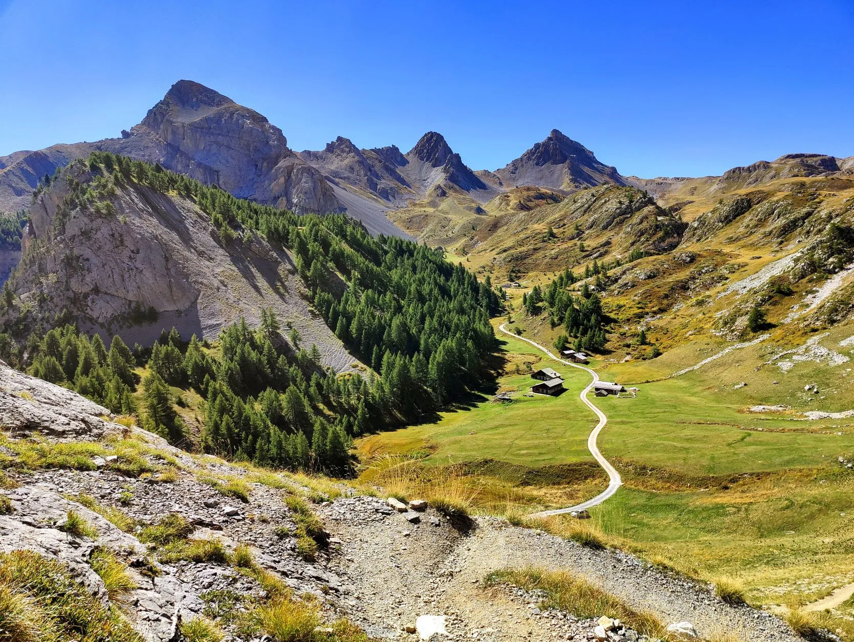
Beautiful stage over the Col des Ayes at 2477 meters. From Briançon, the route goes up fairly quickly through the Torrent des Ayes valley and passes the small village of Chalets des Ayes. From the col, the route descends fairly quickly towards La Girandole. This stage ends just before the village at the nice campsite l'Izoard. The route goes on well-walked paths.
The last few days we spent in surprisingly nice Briançon. Even though the town doesn't have that many inhabitants, it has many great stores due to the regional function it fulfills. That was very convenient, since it's the last bit city we'll encounter until the Mediterranean. So another visit to Decathlon, Chullanka, Action and the big supermarkets... And of course we took a look at the beautiful old town, which earned a spot on the Unesco World Heritage List. Well deserved, because the many old buildings and the narrow, cozy (but very steep) alleys have a medieval feel. Also, Briançon is the highest city in France, with an average altitude of 1,326 meters. Beautiful city!
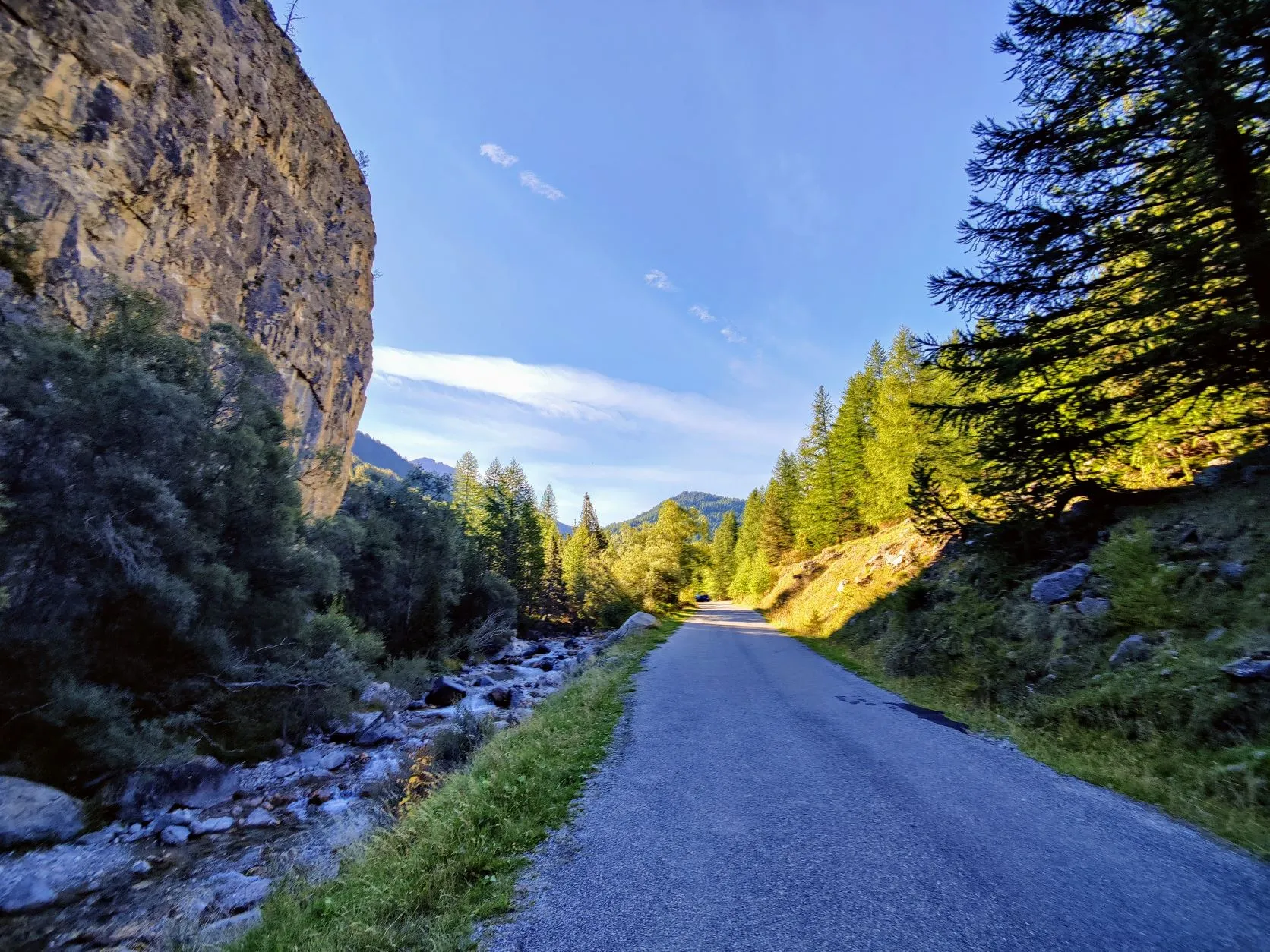
Today we start a new part of the GR5. Just like we ended the previous part, with begin with a relatively short stage. This time though with full backpacks and a considerable climb. The first 12 kilometers go up 1,300 meters from Briançon to Col des Ayes. From the campsite we walk back a bit towards town, to pick up the trail again. In the beginning, the GR5 runs on asphalt, but as we begin to climb, the bitumen gives way to wide forest paths. We follow the little river Torrent des Ayes that flows through the Ayes valley. This valley connects the area of Briançon with the Queyras, the mountain range through which wellll walk in the coming days.
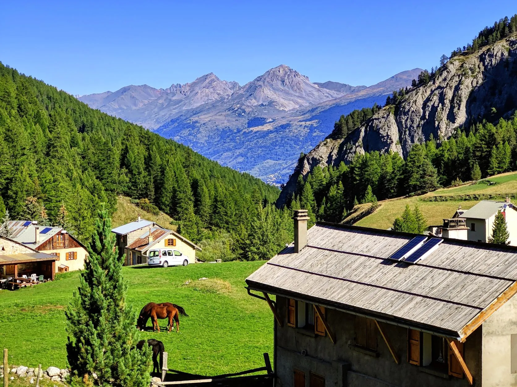
After climbing about 7 kilometers, we come across a number of houses, Chalets des Ayes, a pretty hamlet in the mountains. It lies at the foot of 3 valleys: the Orceyrette valley (this is where the series 'Alex Hugo' is filmed, which is famous to French people), the Melezin valley (this one is quite remote and wild) and the Ayes valley through which the GR5 runs.
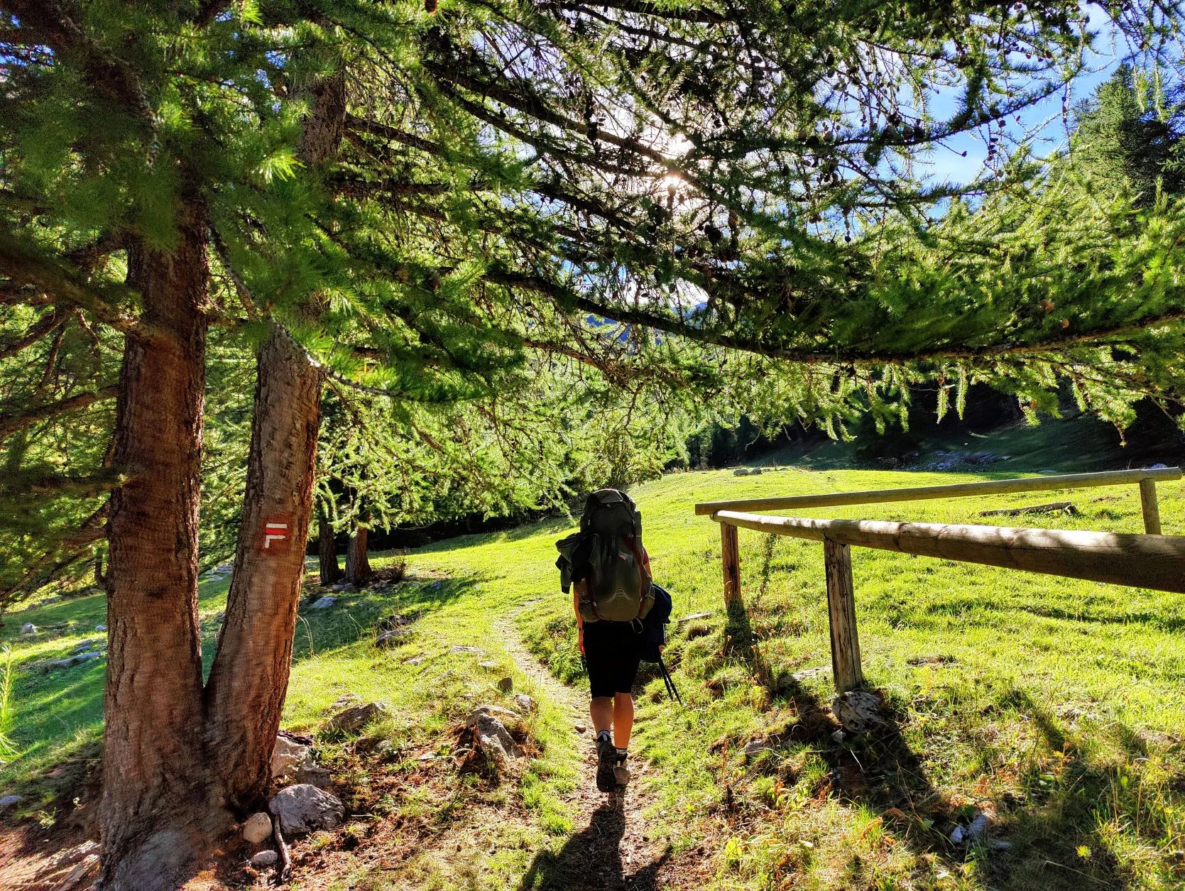
The village is at an altitude of about 1,670 meters, so we are still plenty in the woods when we leave the village and climb further up a narrower path. This path rejoins the wider path quite a bit further on, where we are passed by some Jeeps. We pull over to let them pass and see a dead deer and boar lying in the trunk of the last pickup. A bus driver in Briançon had already told us that hunting season is now open, but at least it's a "fair" hunt: as opposed to sitting in a Hochsitz waiting for an animal to pass by and then shooting it, here the hunters actually go into the mountains and have to put in some effort. But a little further on we see that this is just relative; groups of men in hunters' clothing with telephones and binoculars pass each other the exact coordinates of where the animals are walking. That does make the odds for the game a little less fair, as do the many hunting dogs we see. We regularly hear shots around us, in the valley where we surely are not the only hikers. A bit creepy that this is just happening around us, without any cordons or warning signs.
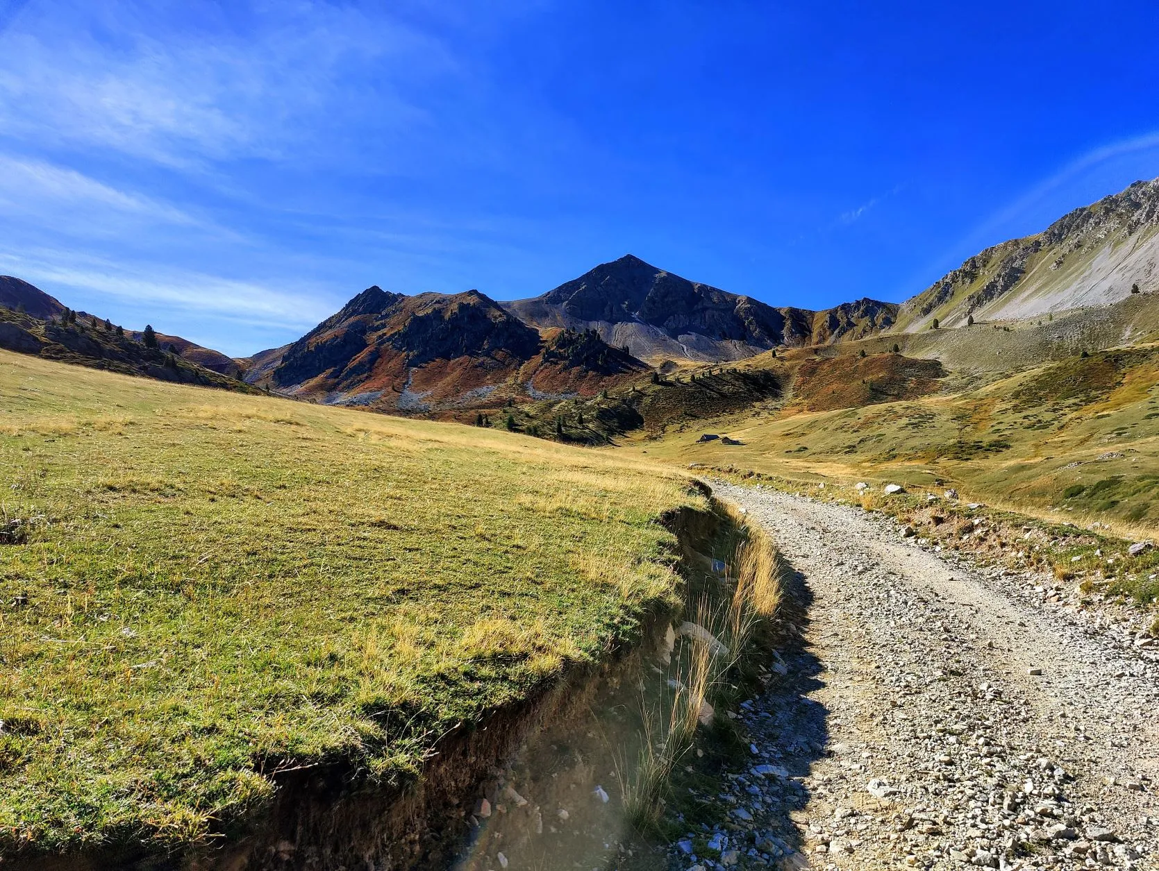
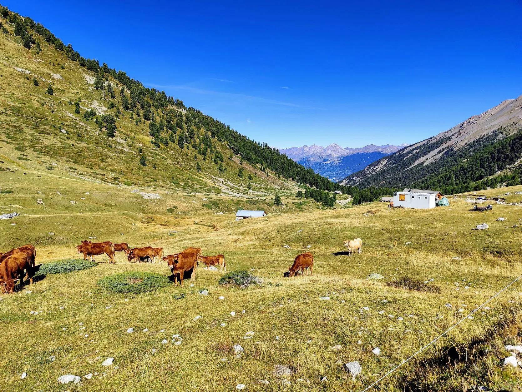
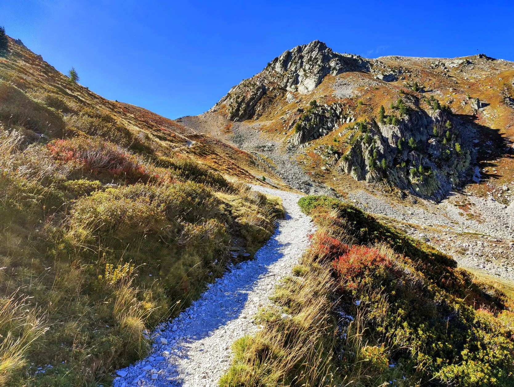
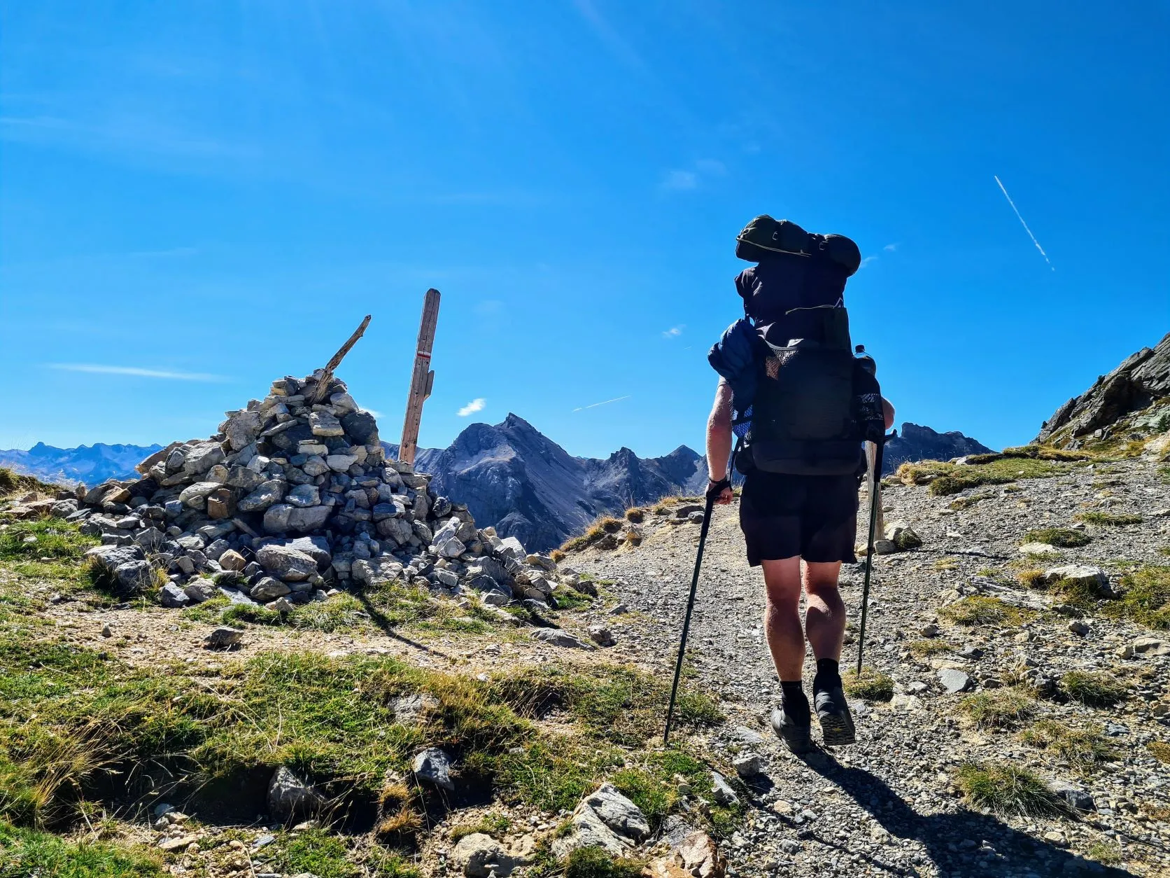
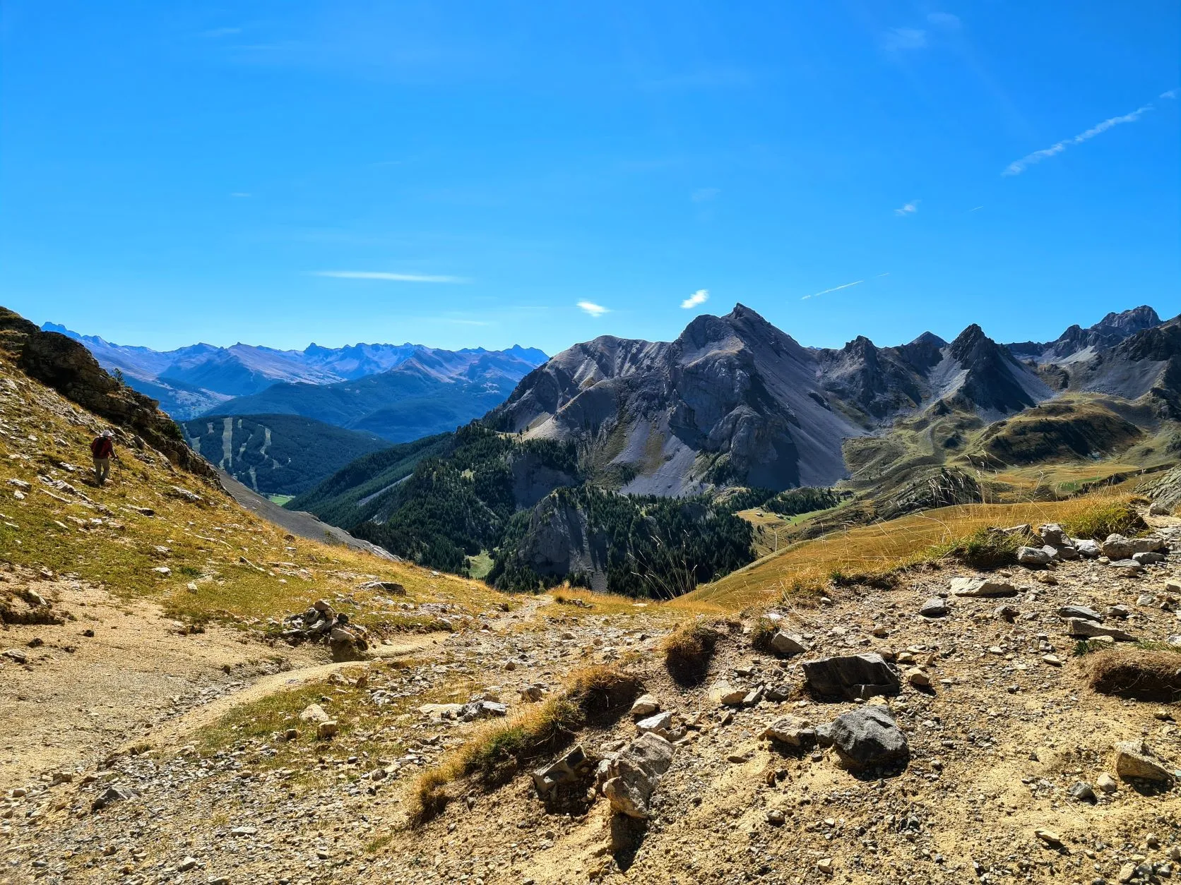
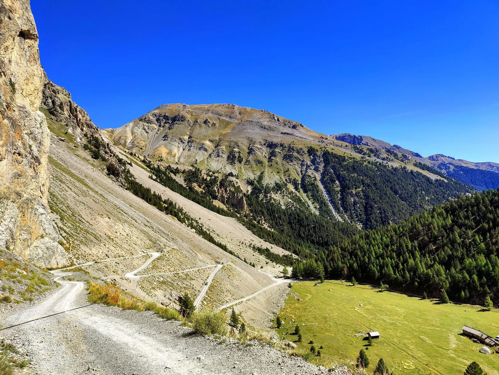
The valley on the other hand, especially above the tree line, is really beautiful. Vast fields of grass with cows, brightened by countless red blueberry bushes, punctuated by fields of rocks pushed down the steep slopes. How we love the mountains.... The legs are fit and the walking goes great this morning and we continue in one pace to Col des Ayes, at 2,477 meters altitude. Arriving at the top, we decide to continue walking without a break to the campsite, which is about 4 kilometers away, 630 meters lower. So we can arrive at the campsite nice and early, let the tent dry there and recover the rest of the afternoon.
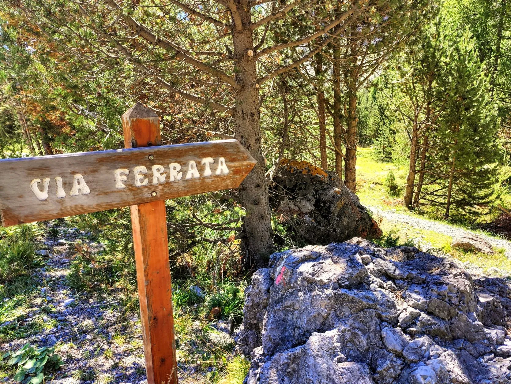
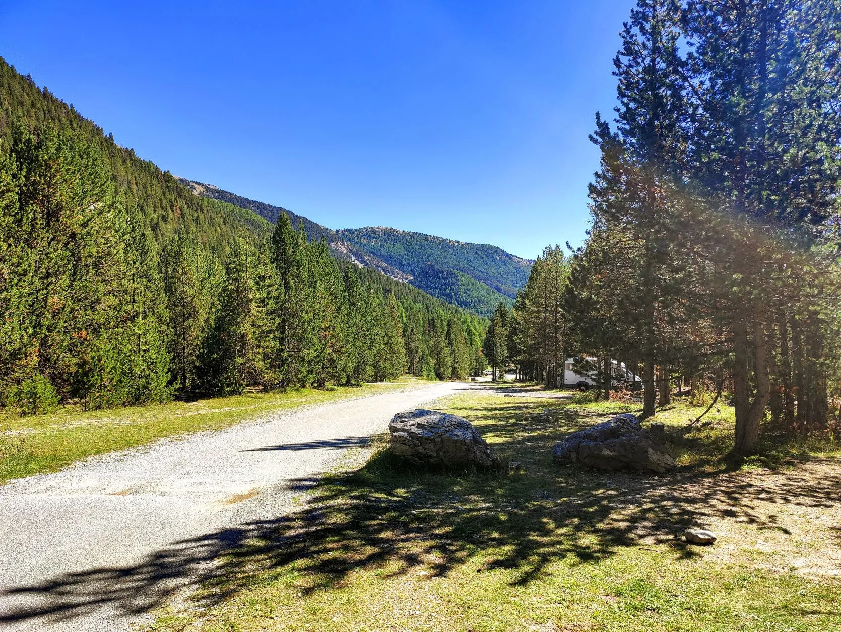
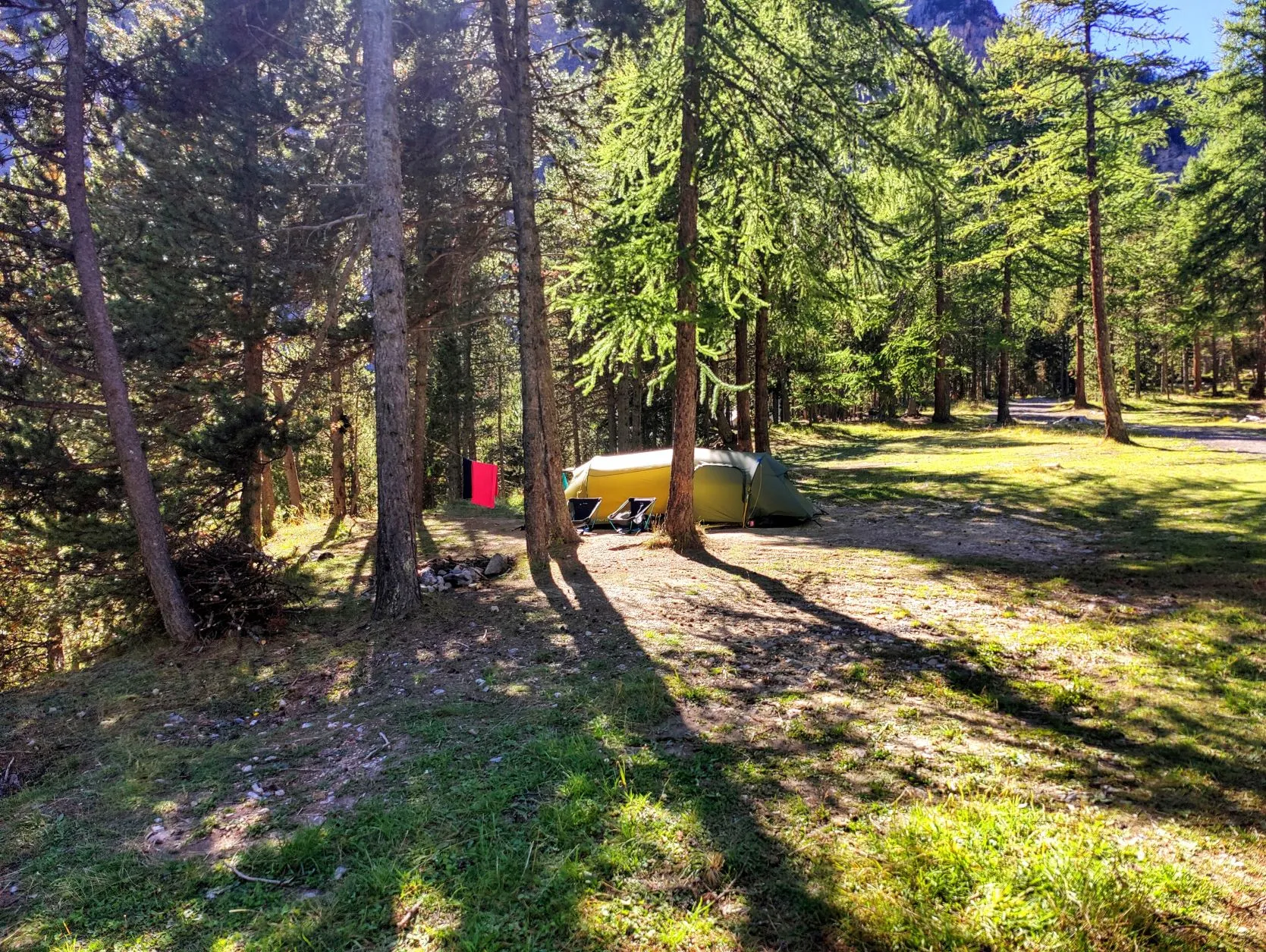
During the descent we see signs of the 'Via Ferrata'. We think "Hey nice, we're following an old Roman road, or something!", but it turns out to be a term used in the Alps to indicate climbing routes. It's a course set up with steel cables along rock faces, where climbing enthusiasts can indulge. Further on we see a number of people hanging from rocks. Always cool to see how these daredevils climb up thin ropes. We keep both feet on the ground and soon approach the campground. We're walking through the forest when we see signs saying "Welcome to camping l'Izoard! Pick a spot and feel free to take a shower before you come to report at the reception tonight'. It turns out to be a large stretch of forest with several sanitary blocks, and many nice spots for tents, caravans and campers. It is quiet here, so we have plenty of choice. We choose a spot with a view of a beautiful lake and the surrounding mountains. Around 1:30pm the tent is already pitched and we enjoy a cup of coffee. It takes a while before the tent is dry in the shade of the trees, but that doesn't matter. The rest of the afternoon there's nothing more to be done, except for showering, eating and making an evening walk along the lake. What a nice place this is!
1 reactie