This stage hikes from the high mountains just beyond Plan de la Laie to the busy Isère River valley. The ride begins downhill. But soon the climb to col du Bresson at 2469 meters begins. A hefty climb through the barren, rocky landscape of the mountains. Then begins a long descent of 1,700 meters to the valley. At first over rocky paths, later through forests and towards the end through villages. A beautiful ride with lots of altimeters.
This bivouac spot was indeed a wonderfully quiet spot! After our meal, we pitched the tent and it was already dark. And when it's dark, here in the mountains, it's very dark... Only on the other side of the valley, against the slope, some lights of a small mountain village could be seen. Otherwise, there was absolutely no light pollution here. With a cup of tea and a piece of chocolate we enjoyed the day and the starry sky. Even the Andromeda Nebula was visible, which we haven't seen very often! And while we were brushing our teeth enjoying the view, a series of 25 lights suddenly appeared like a train, one after the other, right above us in the sky. They must have been some of Elon Musk's SpaceX satellites. Not really "wonders of nature," but wonderful to see.
When the alarm clock rings this morning, it's still dark. We take down the (again soaking wet) tent, make a hot cup of coffee and have breakfast. Today another beautiful hike awaits us. A climb in the beginning and then a looong descent. We slept at over 2,000 meters and it's still chilly this morning, so we start the hike with our vests on.
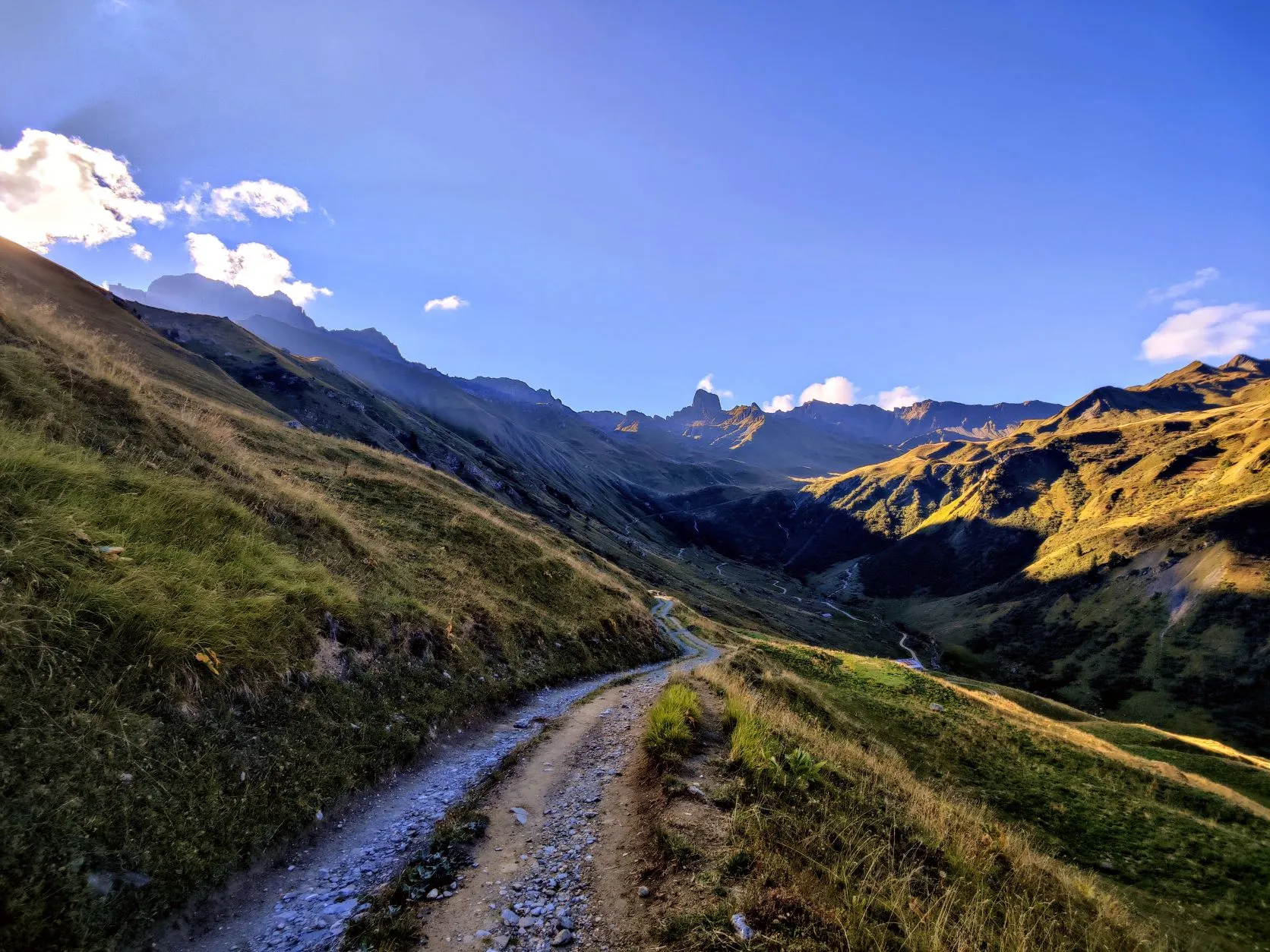
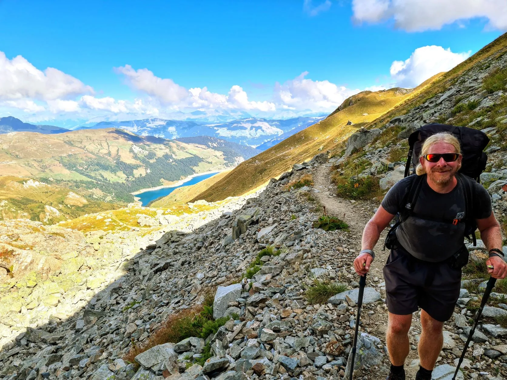
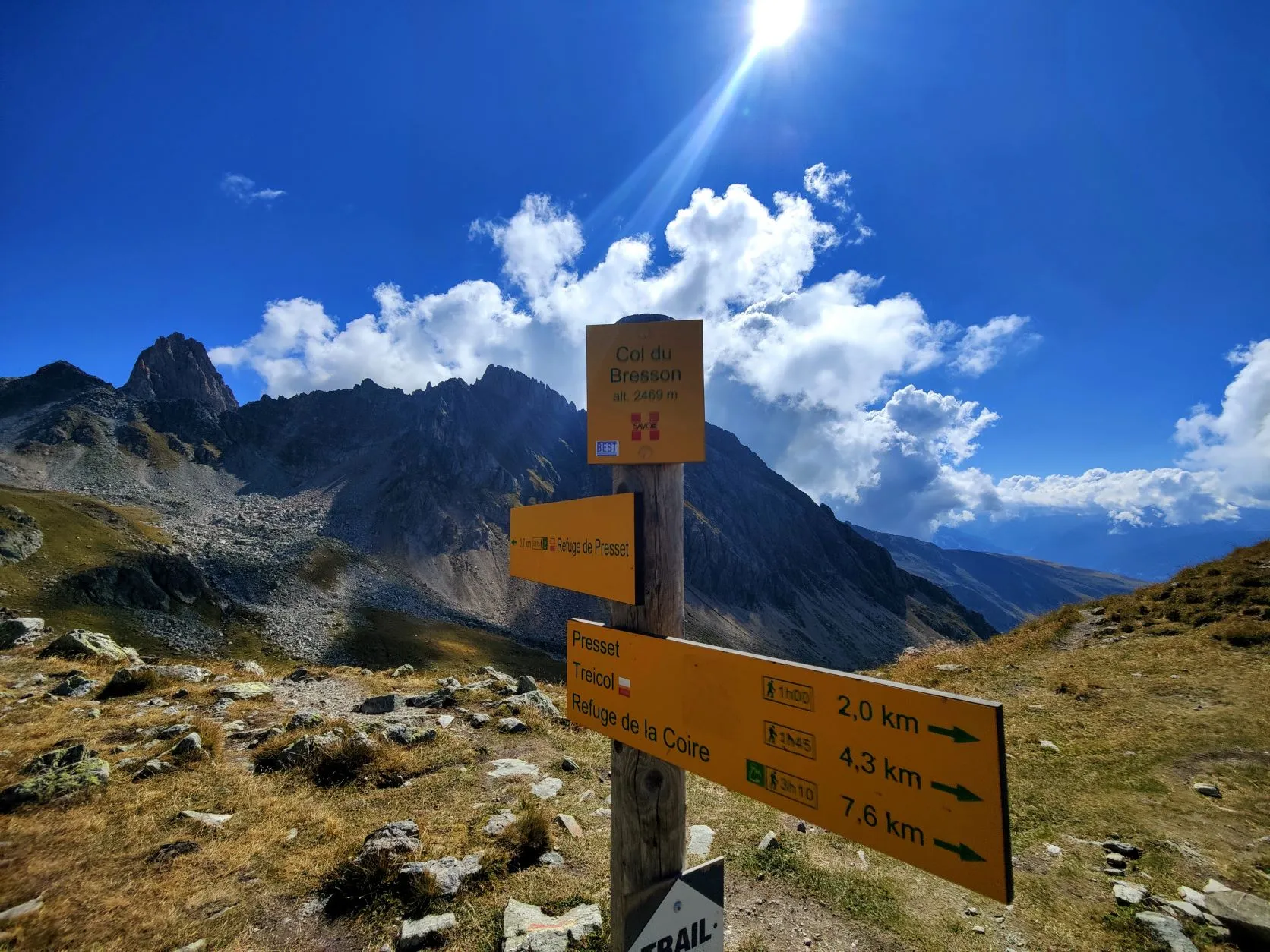
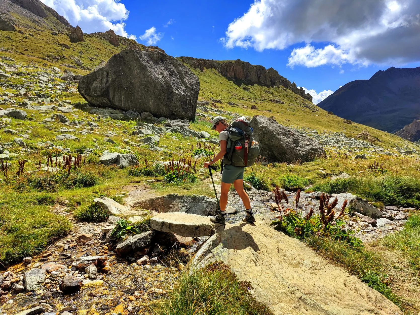
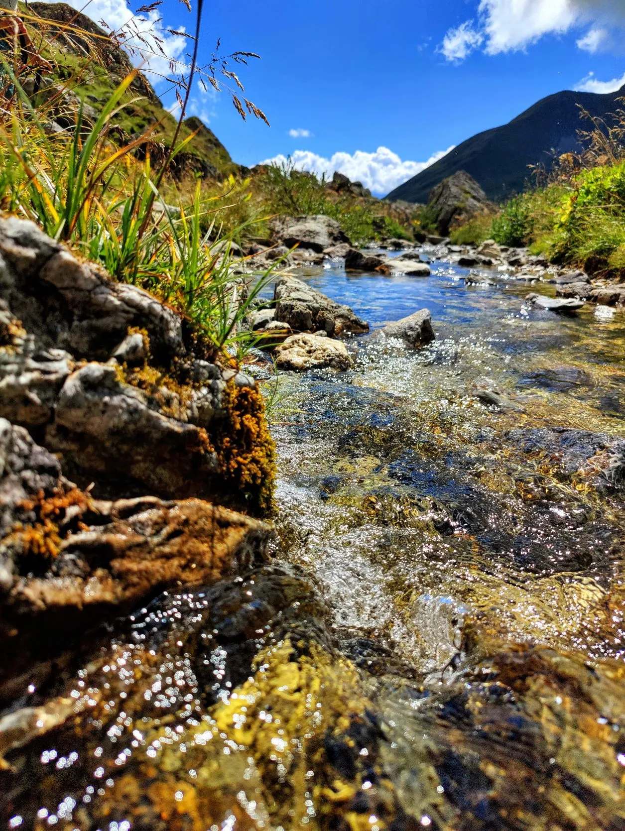
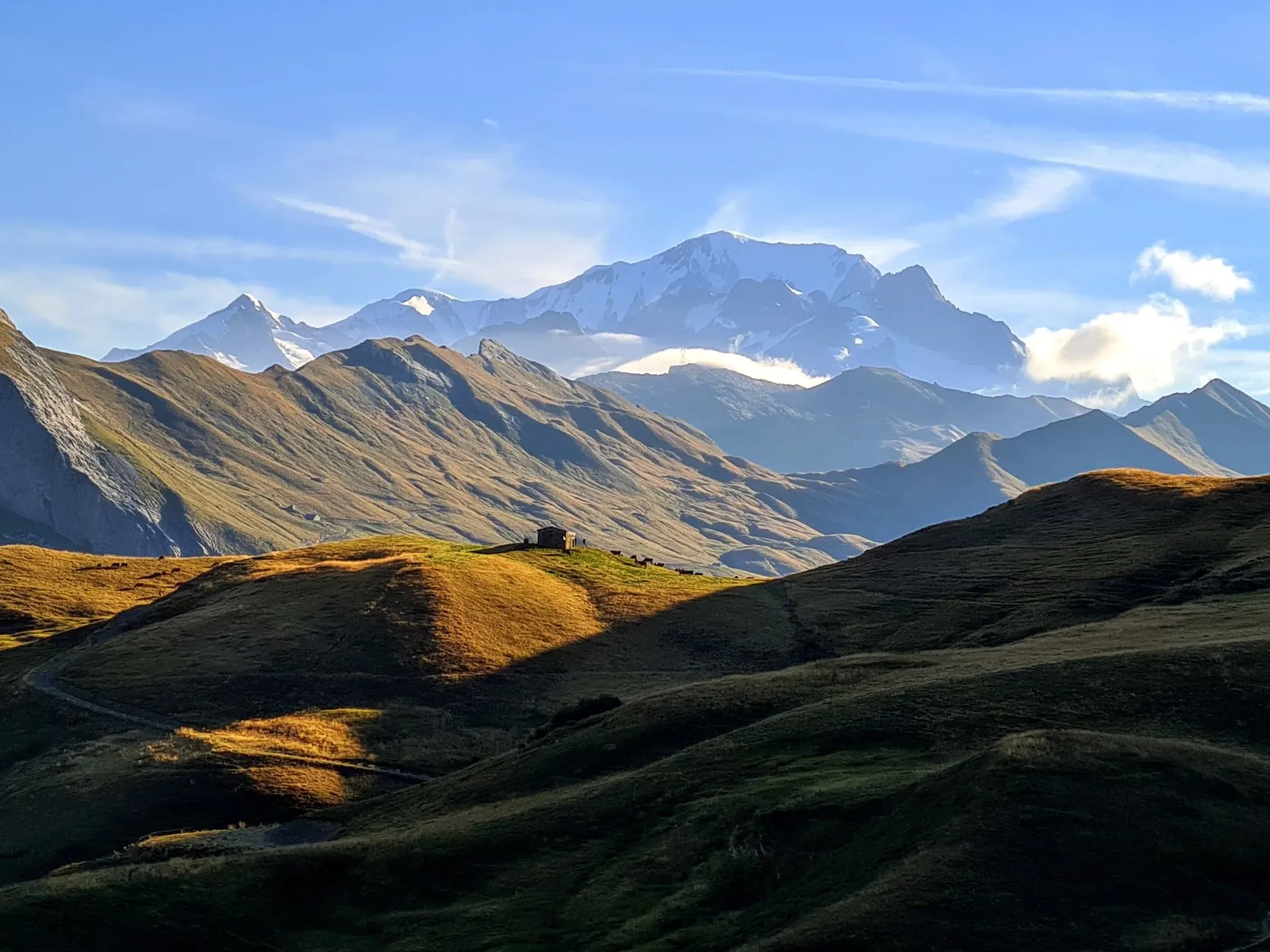
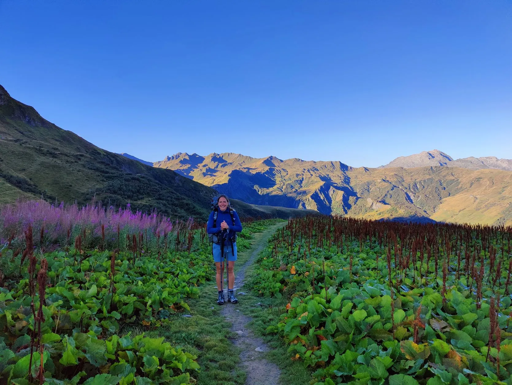
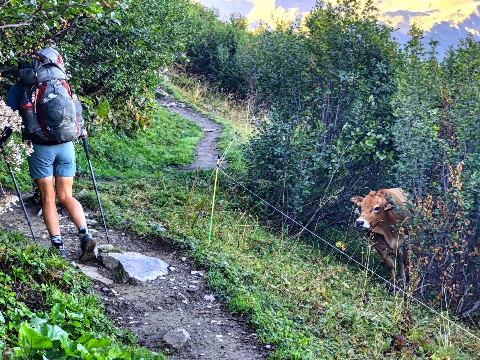
We begin the trail on a sloping path that leads us out of the valley in which we spent the night. On top of the hill at the end of this valley we once again have beautiful views of Mont Blanc. Perhaps the last time...? On narrow paths past rocks, bushes and cows we continue our way. After a few kilometers we enter a large wide valley, surrounded by high mountain peaks on all sides. Gulp, the trail must steeply go over there somewhere... It looks imposing. We follow a small zigzag path that crosses a river a few times. At first we cross a wide path used more often by farmers with Jeeps to get to their cattle, higher up. But soon we get a lot further than the cattle and the paths become smaller and harder to find. Step by step, around and over large boulders, we walk up and the landscape becomes increasingly barren. The higher we get, the less vegetation there is. The path is challenging, we have to be careful where we put our feet and after 650 meters of ascending we reach today's highest point, Col du Bresson at 2,469 meters. Another new valley stretches before us. We pass Refuge de Presset and descend a bit. At a windless spot we take a break, sheltered by a large boulder. From here it's about 14 kilometers downhill and we'll descend a total of 1,750 meters to the valley of the river Isère. We are glad to have our hiking poles so we can take some of the strain off our knees and ankles, but descending so many meters is still intense.
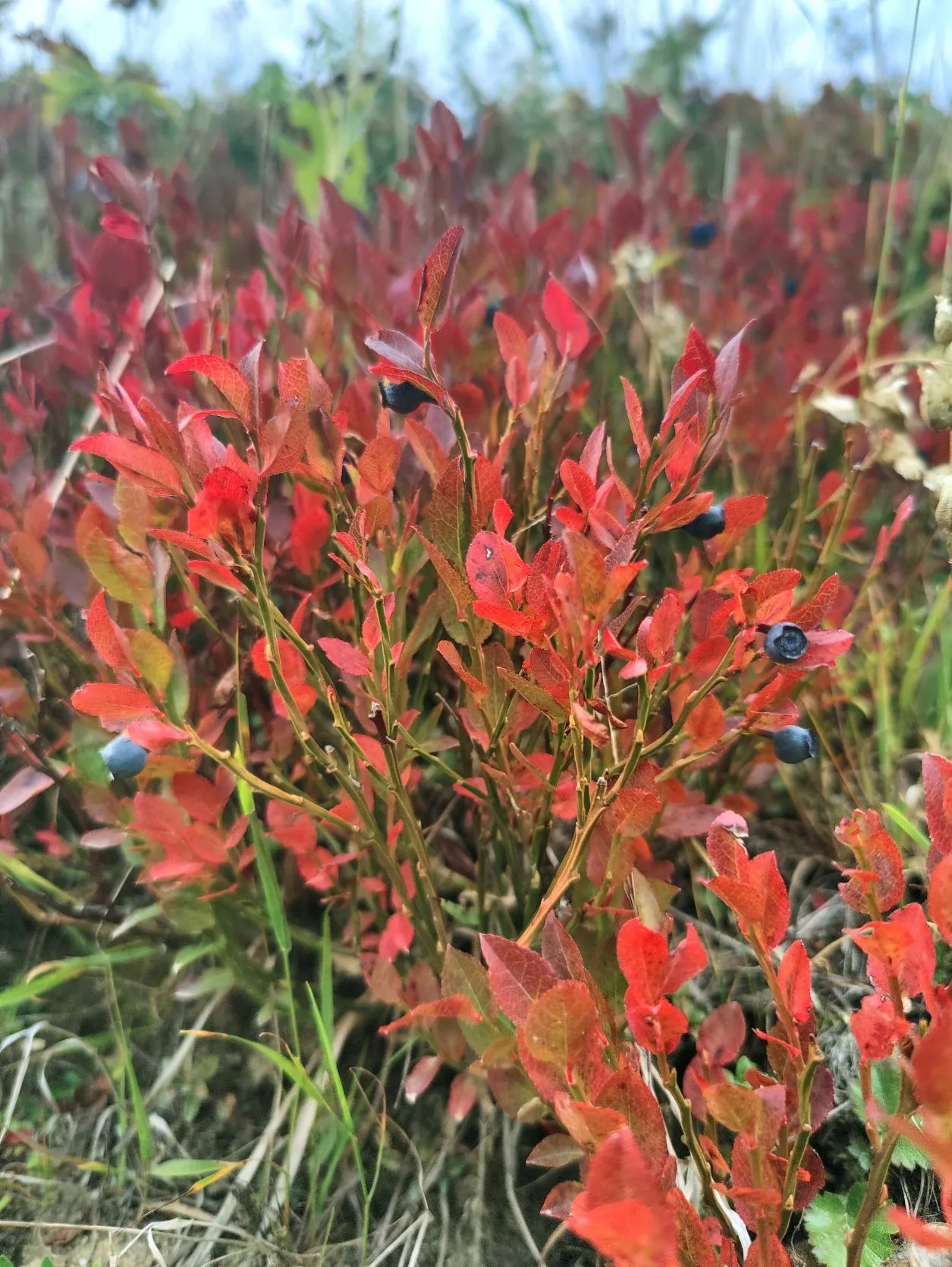
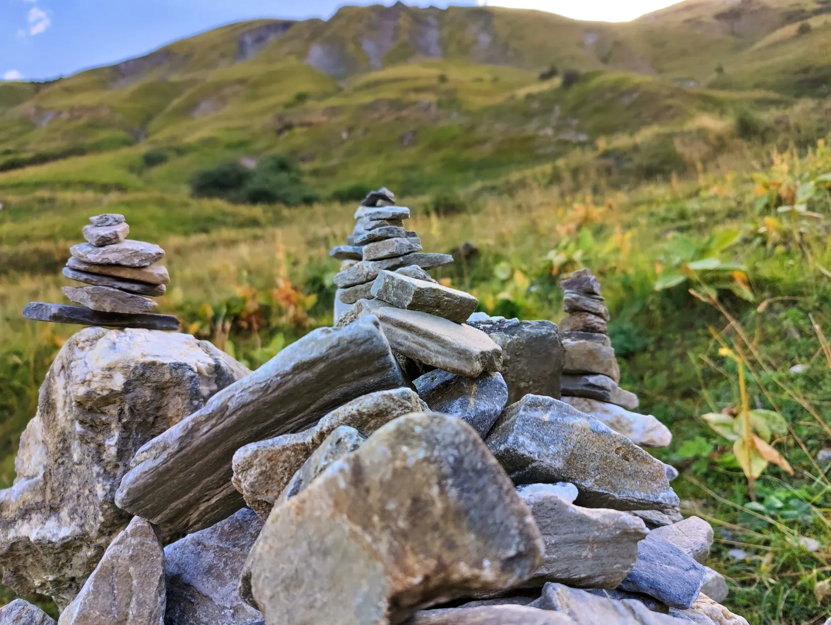
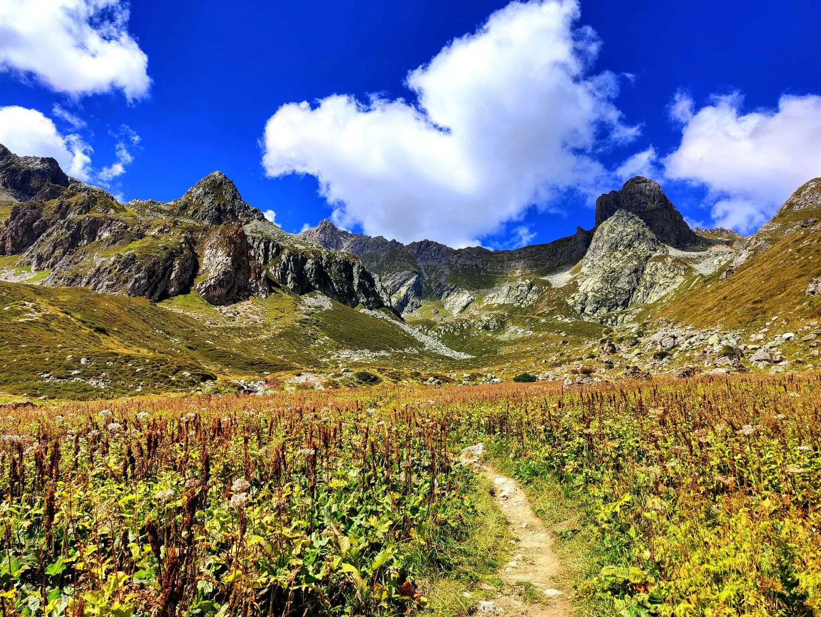
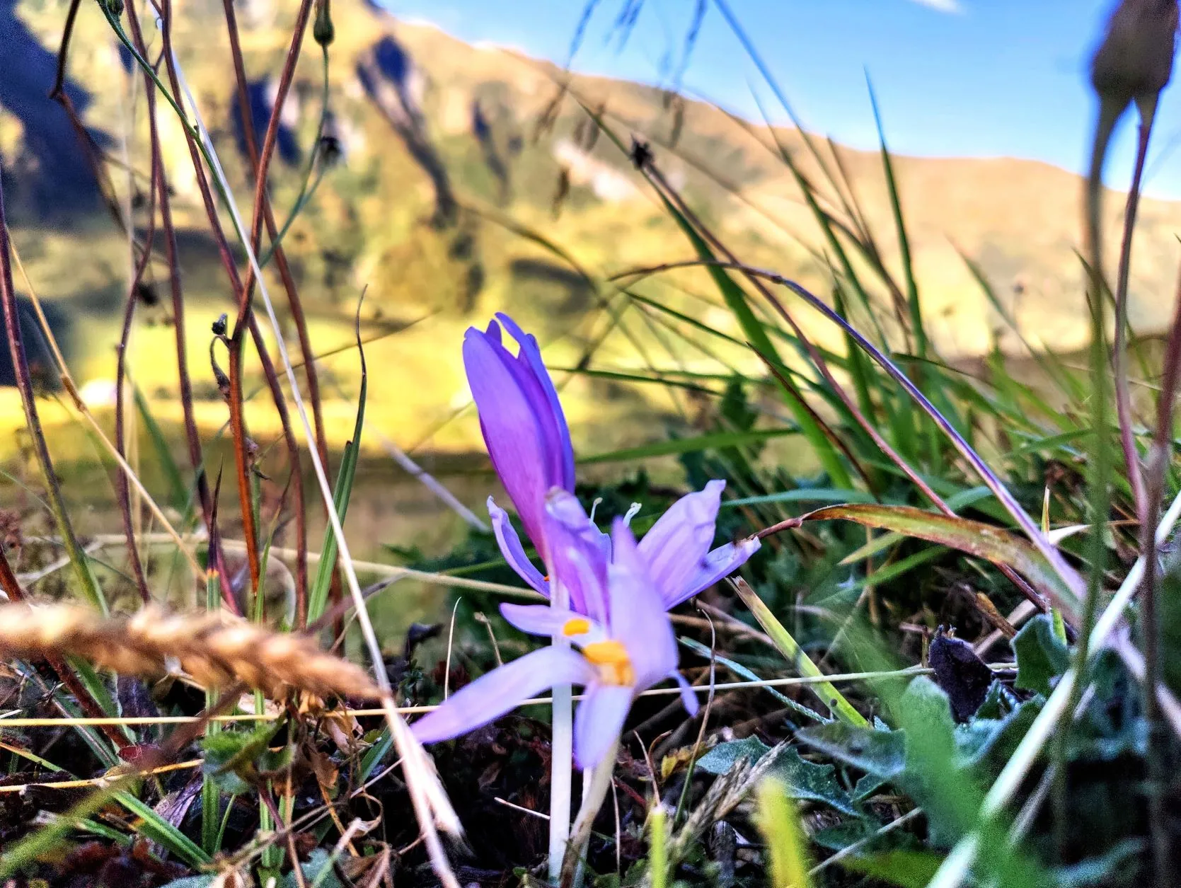
The views and trails in this valley are truely magnificent. We walk in small paths in a rock strewn landscape with low vegetation, grasses and blueberry bushes. Here and there among the grasses, the soft purple autumn thistle is already blooming beautifully. The blueberry bushes that not so long ago colored the mountain slopes a deep dark green, are now beginning to show a fiery shade of red. The frost has clearly passed over them once already. Across the valley, the deciduous trees are beginning to take on something of a brown color as well. They appear to be bushes with red berries. The whole thing is already beginning to look autumnal, the first signs that the season is beginning to change. After seeing spring turn into summer, we are now seeing summer give way to autumn. Wow, we've been on the road for a long time...
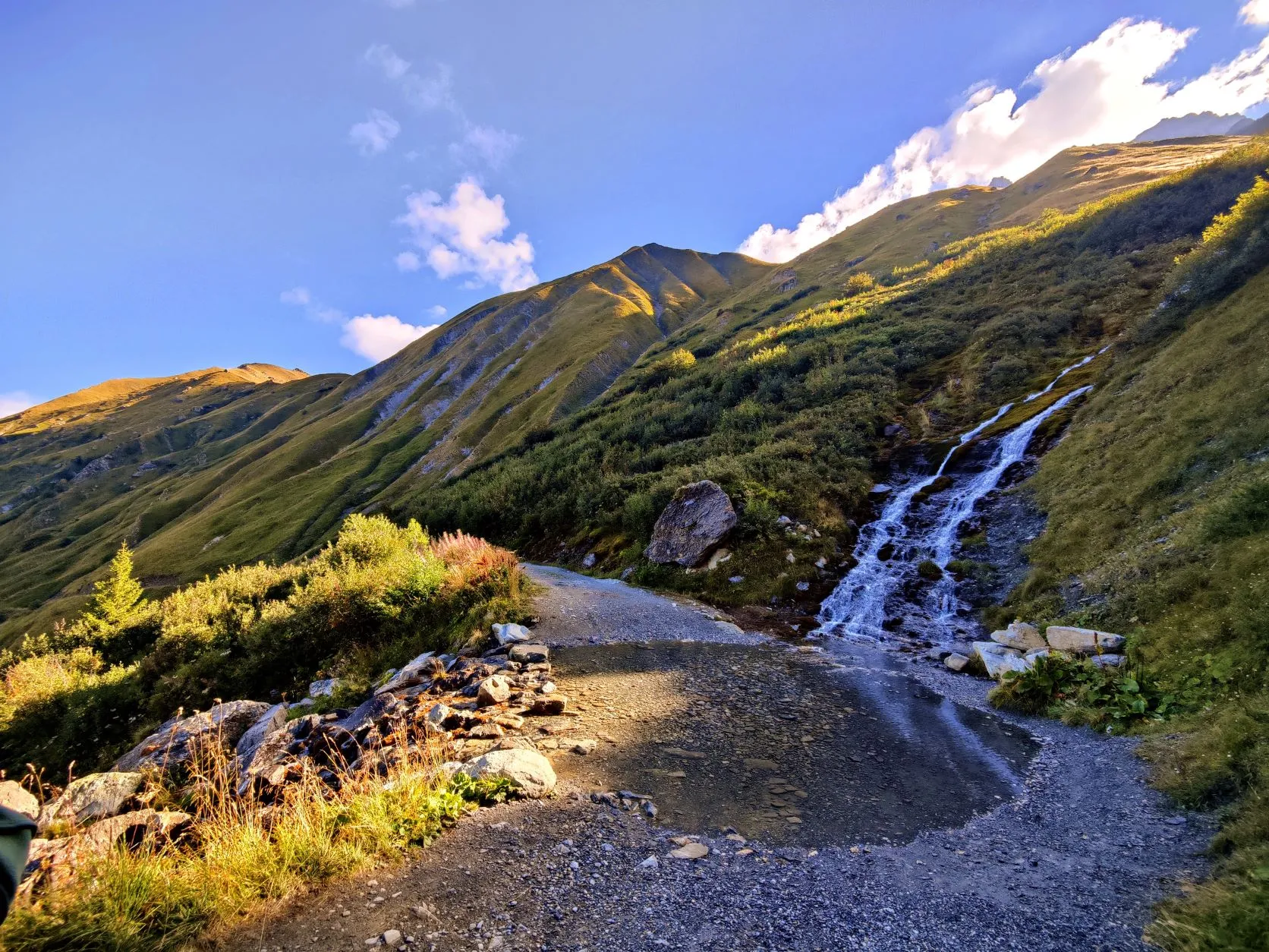
After walking a bit flatter and before entering the woods again, we take a break to dry the tent. A little shorter than yesterday, otherwise we won't get to the store in the village where we will spend the night. Shopping is necessary, because for the first time this trip we have run out of food completely. Through the woods on the slope we follow an old canal that in the old days was used for drinking water by the villages in the valley. The water no longer flows through it, because avalanches and landslides made this section too difficult to maintain. Across the valley we see a ski resort, with large, manmade slopes and housing complexes. The contrast is big. There, man determines and structures nature; here, nature is supreme and determines what man can and cannot do.
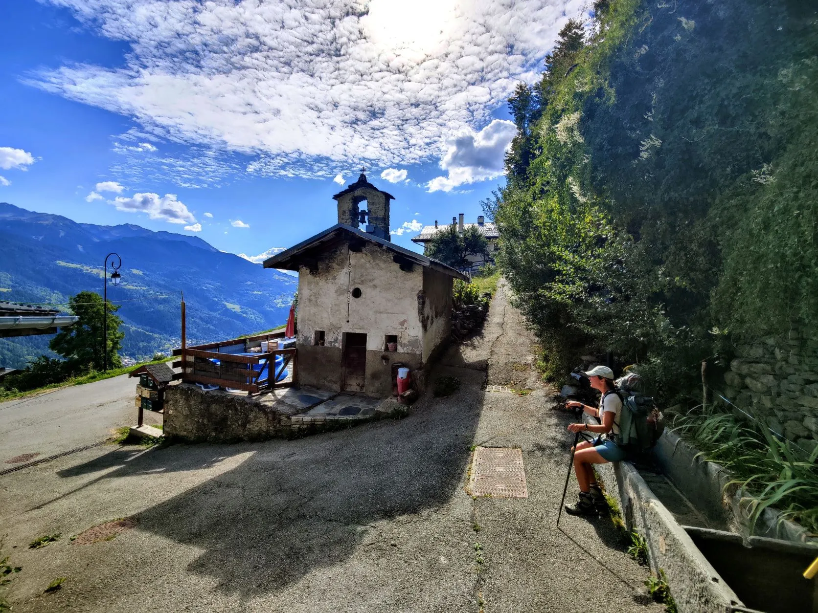
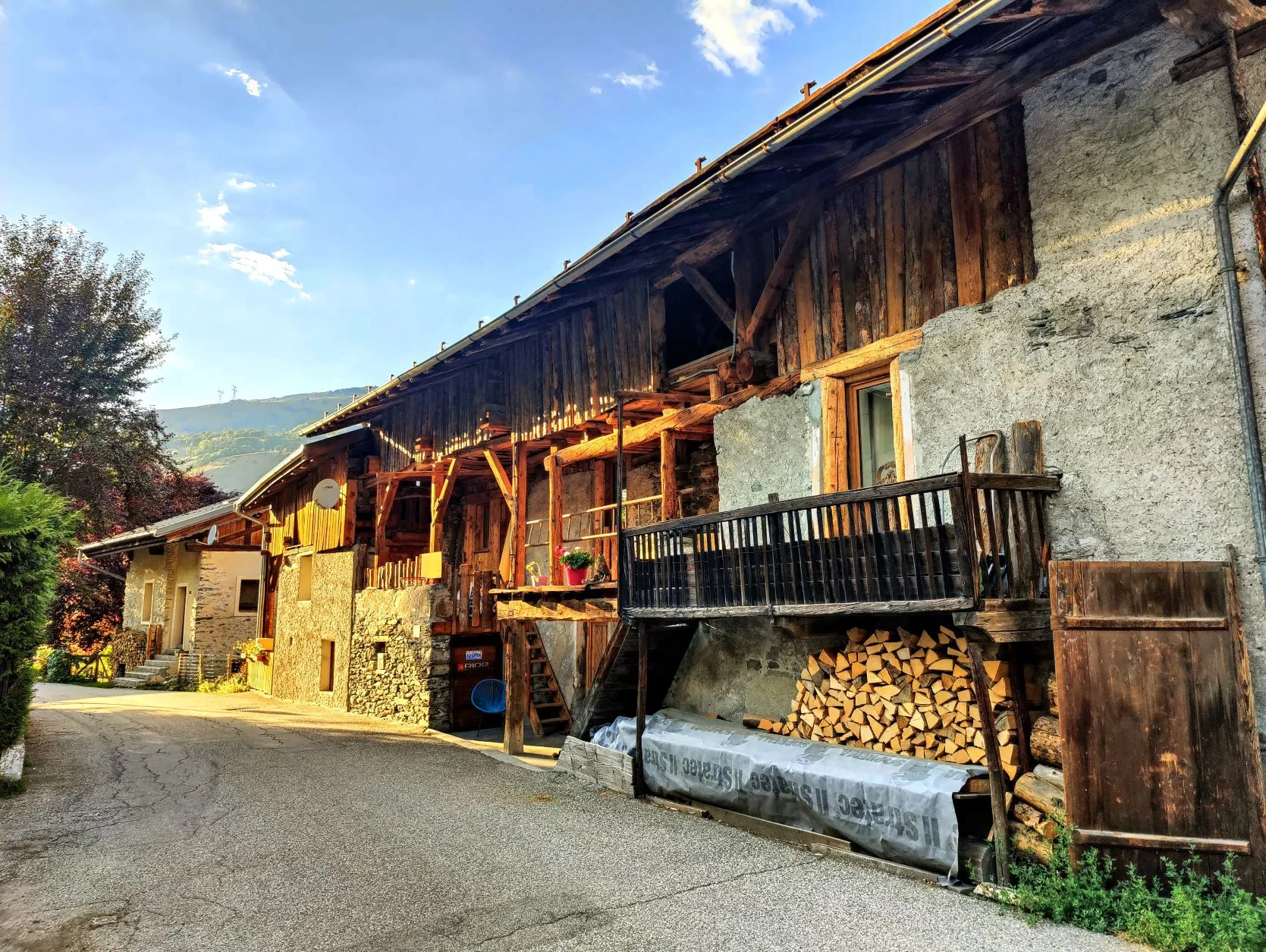
Through the woods and down the slope we descend rapidly. We get lower and reach the edge of a charming, steep mountain village, Valezan. They've really made an art of building houses in the steep mountain slopes here. From here it won't be long before we reach the river down in the valley. It's about another 3 kilometers of flat walking to the campsite, on a bike path along the river. When the church bell has just struck 6pm, we walk into the campground, find a spot for our tent and are just in time to do some shopping at the local epicerie, conveniently located next to the campground entrance. So not much more steps will be made today!