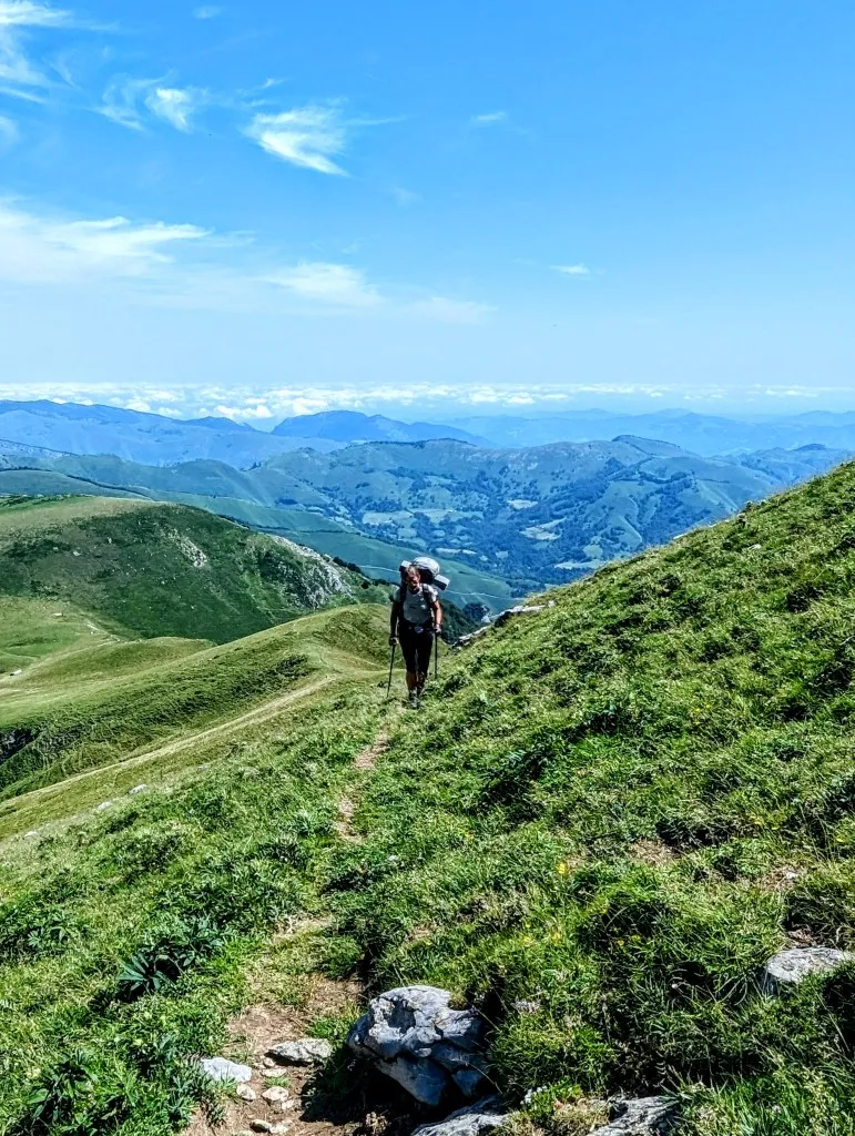
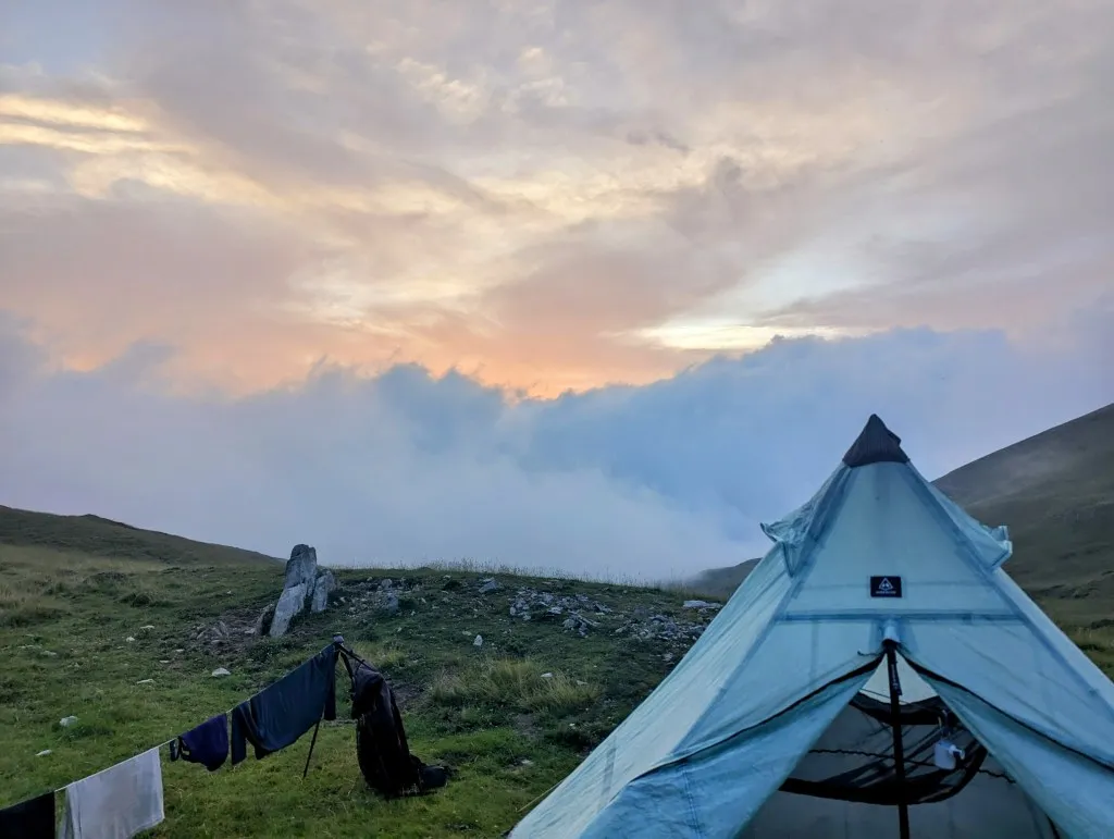
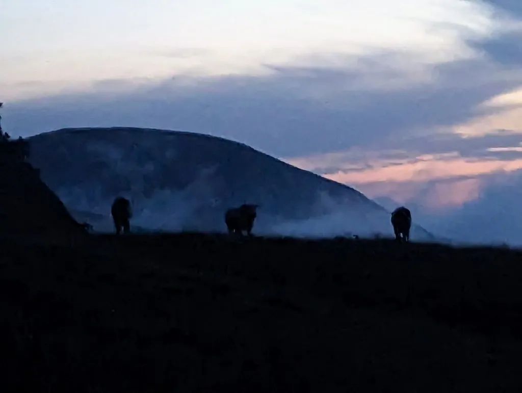
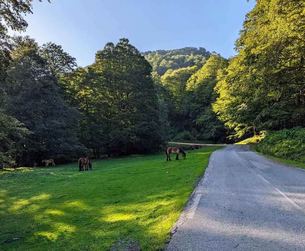
After 2 days of rest and two thunderstorms with centimeter-sized hailstones, we set out again this morning. The tent, unlike many other tents and awnings on the campsite, has withstood the storms with flying colors and to our surprise is completely dry this morning. That saves some weight and is a lot nicer to pack. With energetic legs we walk the 2.5 kilometers on asphalt up to the reception. The road runs between forests up to Col d'Iraty. Along the road, cows lie on patches of grass. Without a fence, so they can go wherever they want. Two large horses trudge up in the same direction, but stop earlier to graze. Arriving at the top, we pay the campsite, pick up the fresh bread we ordered yesterday, and charge all our electronic devices with a plug. We won't have the chance to do that again for the next 2 days, for we will not arrive at a campsite again until the end of stage 3. Finally, at half past nine we are ready to enter the mountains again! We walk the first kilometer and a half on a small asphalt road and then turn left into the grassy fields. Narrow paths crisscross the slope, it takes a while to figure out which is the right one. Two gentlemen tell us to follow the white/red poles uphill, but our map sends us straight on over the side of the mountain. We stubbornly follow our own route, which is just as well, otherwise we would have walked quite a few extra meters in altitude. Eventually we see them coming after us. We descend and ascend for quite a while, until we reach a ridge where the real work begins. 600 meters of ascending in 3 kilometers to Pic d'Orhy or Orhi in Basque.
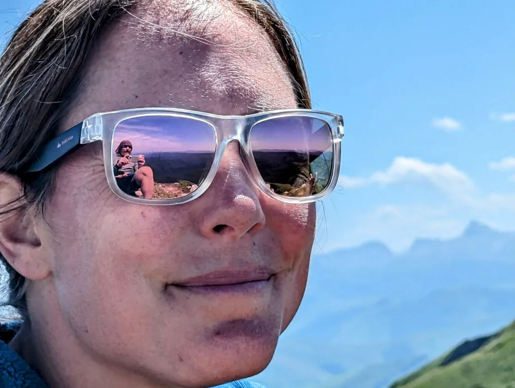
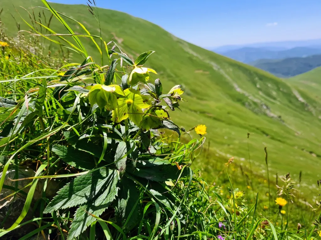
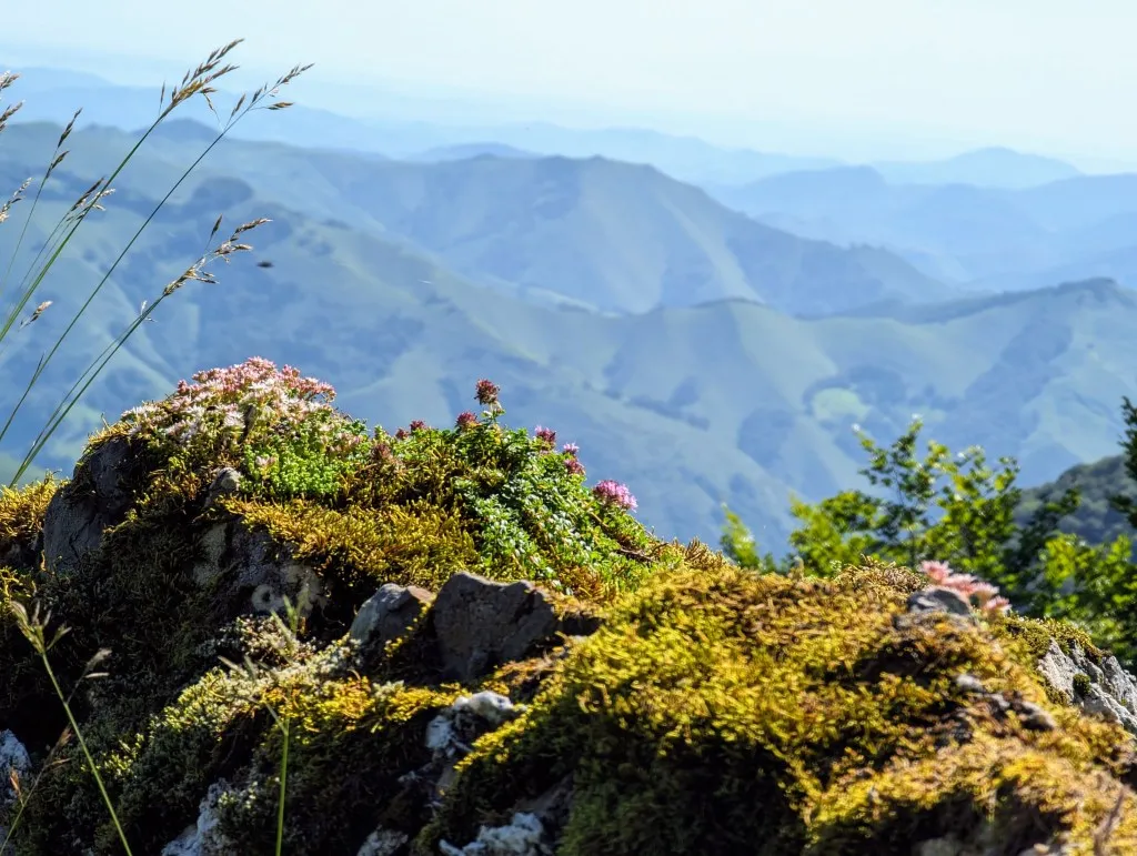
Even though this peak marks the border between Spain and France, Basque Country lies on both sides of the border. At 2.017 meters high, this peak is the most westerly 2000-meter peak in the Pyrenees, providing us with another good leg workout, especially with our backpacks filled with food for 3 days and plenty of water. The advantage of a slow climb is that you can enjoy the view for longer, as well as admire the beautiful plants clinging to the slope. Hellebores, purple thyme, lady's mantle, and blooming heather—all plants we had in our garden but in different variations and sizes. We also enjoy watching the vultures flying above us, below us, and at eye level. At least 20 gigantic griffon vultures glide back and forth on the thermals, often passing directly over or beside us. Magnificent!
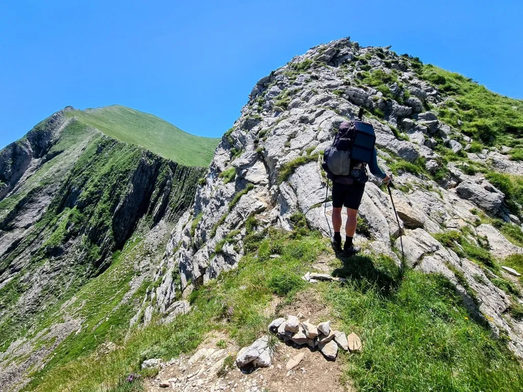
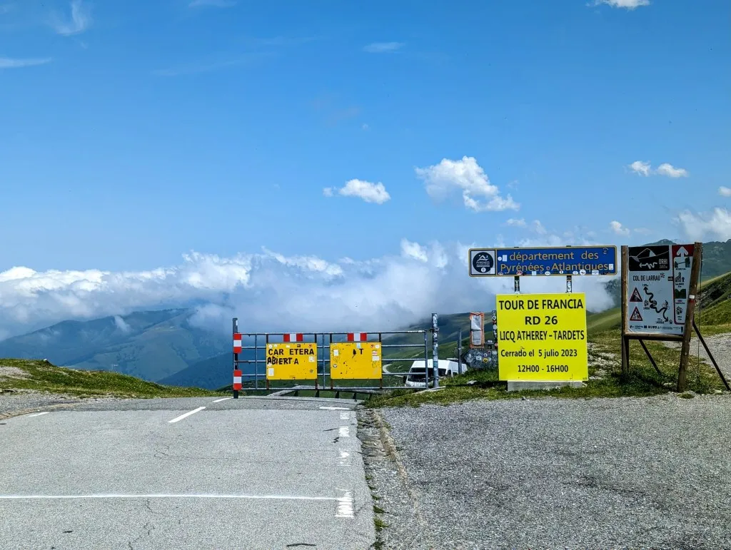
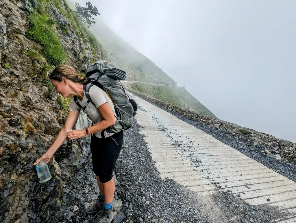
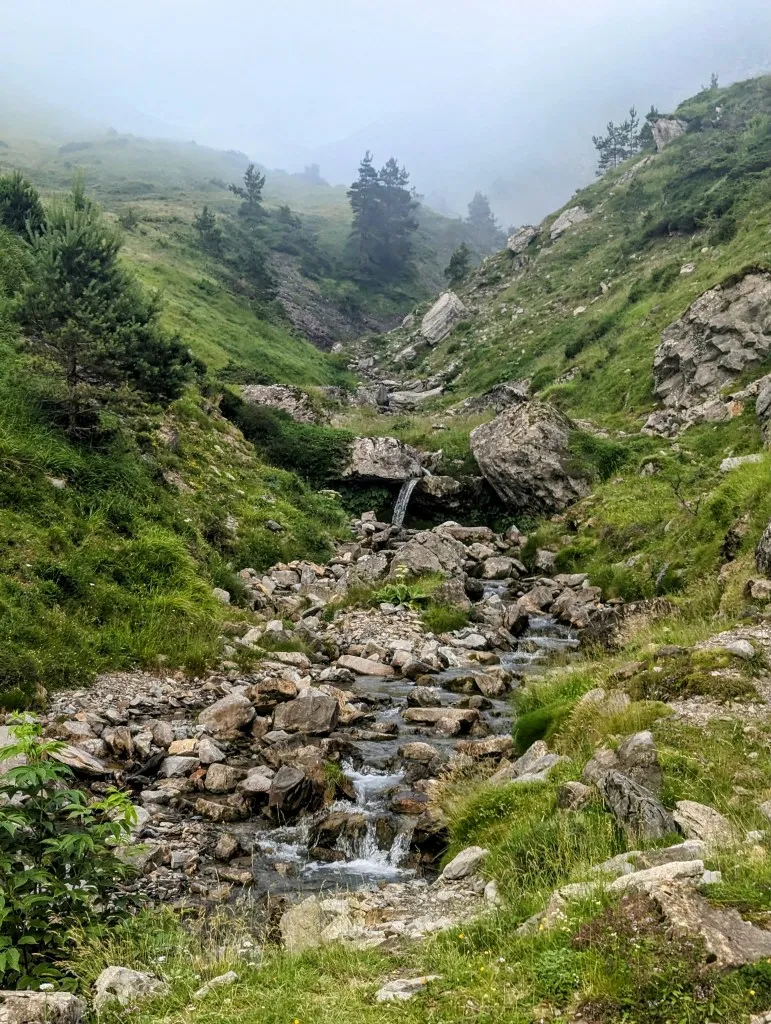
On a flat section halfway up the slope, we pause to catch our breath before the final stretch to the summit. It's our first time reaching an altitude above 2.000 meters on this journey. It's a steep climb, but how rewarding is the view! The mountains recede in all directions from here, except straight ahead, where the higher peaks lie, and that's where we're heading. After taking in the view for a moment, we continue down towards Col de Larrau, which is just as steep as the climb we've just completed. This col also marks the border, and a few days earlier, on July 5th, the Tour de France crossed from Spain into France at this point. Our journey continues along the ridge, but clouds are beginning to gather from France. It's a stunning sight, those clouds below us, but they also cause us some concern. We don't want to end up on a mountain ridge in a thunderstorm like we did the past two evenings, so we take some time to reconsider our route. We see a few switchbacks below us, with a road running parallel to the ridgeline, and in case of bad weather, lower is always better. We descend a bit and soon find ourselves in the mist. The clouds are rolling in fast. We walk along a wide path past herds of sheep and cows. We often hear them but can't see them through the mist. Another advantage of being slightly lower down: it's easier to find water. There are several springs along the path. Even though they don't flow fast, it's enough to fill our bottles with our Katadyn (our water purification system). We can't camp along this path. It's too steep, there are too many animals, and, above all, it's too exposed to get a good night's sleep. The bad weather seems to be holding off, so when we spot a path marked on the map leading back to the original route, we start climbing the slope again. There isn't a real path; it's an old riverbed that's now dry with a strip of grassland on either side, but it leads us up the mountain.
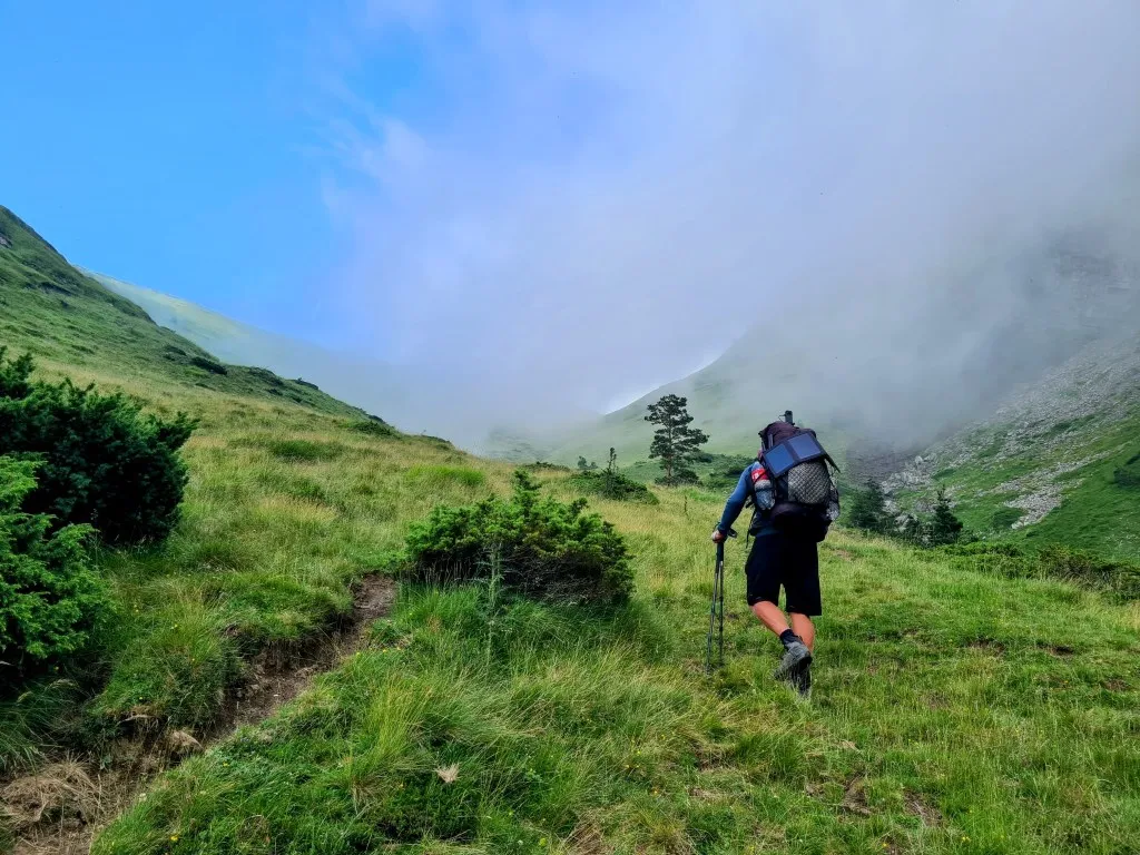
We climb the mountain together with dozens of horseflies, searching for a good spot. It's important to stay focused and not let the biting insects distract us too much or misstep on the grassy tussocks. We didn't find the path that was supposed to be there, but we did find a good place to sleep. Beautifully flat, with views, when the clouds allow it, to the ridge we'll be heading to tomorrow and the valley where we came from. We're surrounded by towering mountains and breathtaking vistas. In the distance, we see horses and sheep, and in a little valley below us, some cows, but they're far away. It's a splendid place to be. By now, it's already half-past eight, so it's late enough to set up the tent, freshen up, and cook. Freeze-dried meals taste especially good in a place like this! Just before we're about to go to sleep, we get a visit from a curious cow sniffing at the tent. They're such impressive animals up close, especially in the dark! Fortunately, she hasn't brought her friends along, because once one cow stands nearby, the rest quickly follow. So as a precaution, we kindly but firmly ask her to sleep a little further away. And it works; they stay at a distance. And as we drift off to sleep, they even provide a beautiful bell concert!