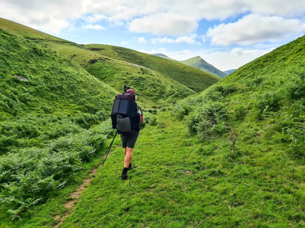
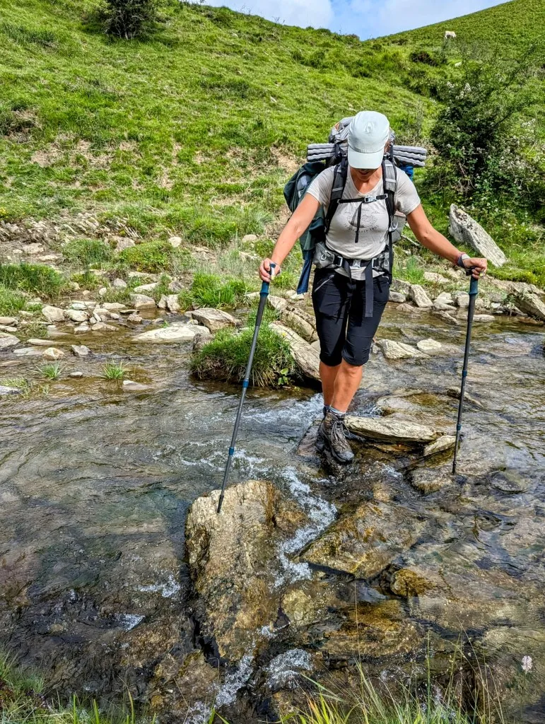
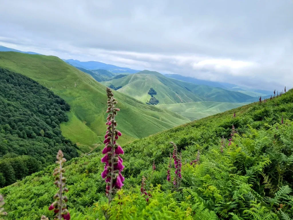
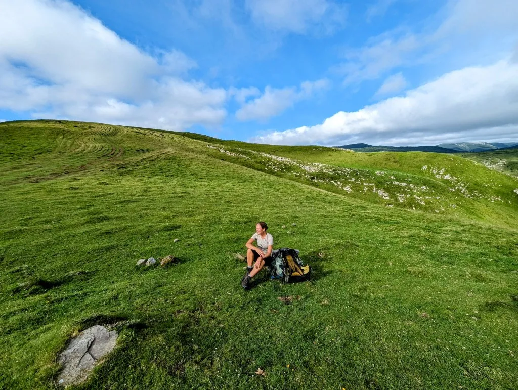
How long can nearly 20 kilometers take… We start the morning in a beautiful spot amidst the green hills with the sound of the river right beside us. After packing our belongings and having breakfast, we cross the river and immediately begin a steep ascent. It's a narrow and very muddy path, so we need to be cautious as it drops steeply right beside us. We ascend 300 meters in the shadow of the mountain in just 1.5 kilometers. At the top, we take a quick break to enjoy the view before descending on the other side. This path is also narrow but slightly less steep. We pass by sheep and cows and the occasional farmhouse. The landscape is beautifully green, and there is plenty of flowing water; we cross several streams. Down below, the sun is shining, and even though we've only walked 5 kilometers, the climbing and descending take a lot of energy. So, we take the opportunity to rest and dry our gear and tent. When we resume, we quickly lose track of the trail. A tangle of cow paths runs parallel to the slope, but our route goes uphill. Steeply uphill… There's nothing to do but follow the dotted line on the map as precisely as possible and climb the hillside through ferns and tufts of grass. A climb of over 400 meters in 2 kilometers ensues. Again, a gradient of over 20%, but this time without a path. Fortunately, we reach a GR route at the top, and a visible path appears, which is flatter and easier to follow. Our average speed has dropped well below 3 km/h. Well, it's not a race, but we still hope to reach the campsite today.
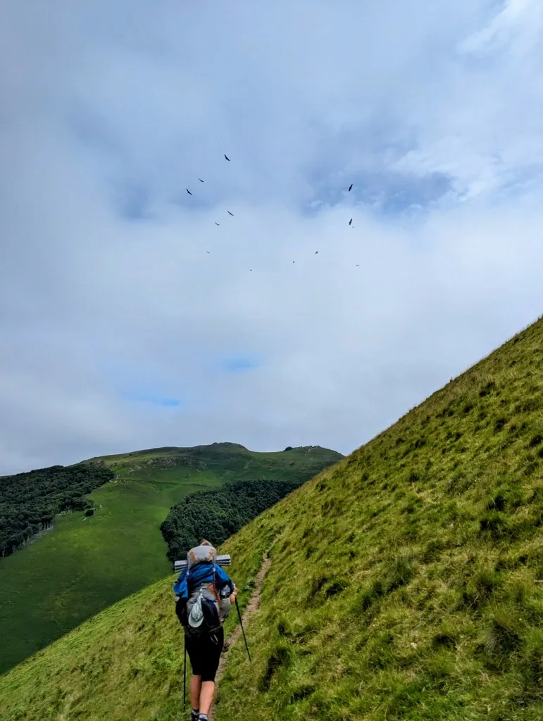
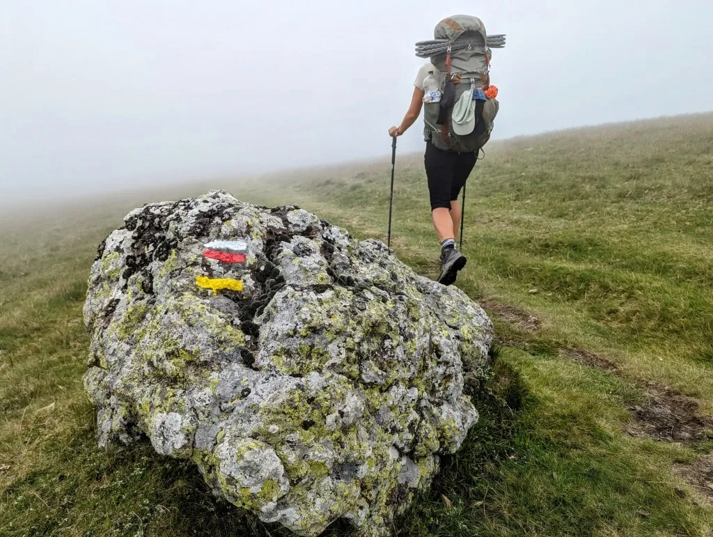
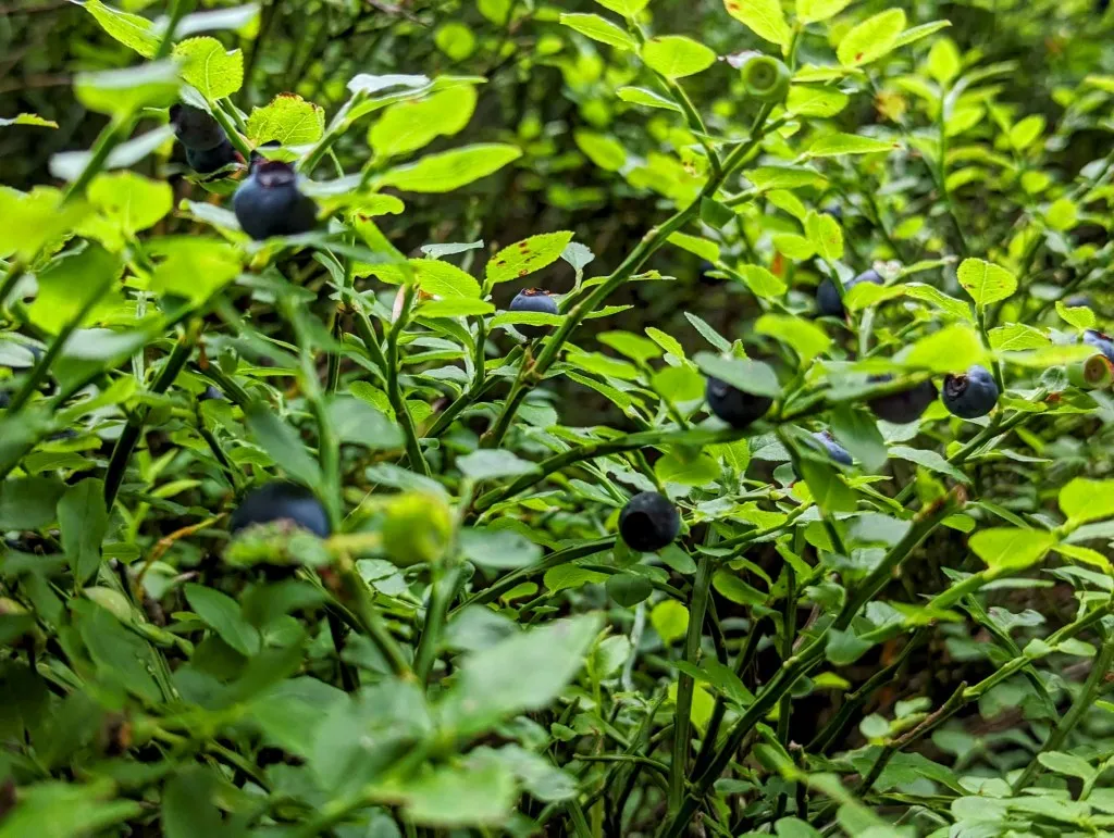
We come across a forest where water flows from a hose. We collect water using our water purification system and walk a bit further to the next steep slope. Once again, there's no visible path on the hillside with fern bushes, so we decide to look for an alternative route. Following a wide forest path, we spot a route that's slightly longer but leads to the same point. We walk pleasantly flat through forests and open grassland with stunning views of the Pyrenees. It's wonderful to be back in the mountains! However, mist slowly sets in, and the path indicated on the map is nowhere to be seen. A dense forest edge with low, beautifully old beech trees blocks the way. It's almost four o'clock by now, so we decide to take our second break and reconsider the route over a sandwich and coffee made from the freshly tapped water. Another route brings us to the other side of the mountain back onto our original route. Fortunately, it turns out to be a good path, but once on the open grassland, it becomes so misty that we only have visibility of a few dozen meters. We hear an orchestra of bells coming our way, and slowly, white sheep emerge from the mist. Just to be safe, we decide to go around them, although it's difficult to gauge the distance accurately. It's a mysterious sight. The descent follows larger forest paths and goes smoothly, and we're even treated to handfuls of blueberries! They are welcome since all the fruit we had with us was gone by this morning.
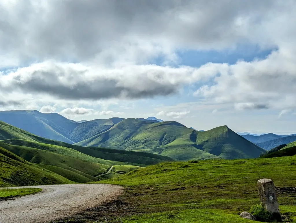
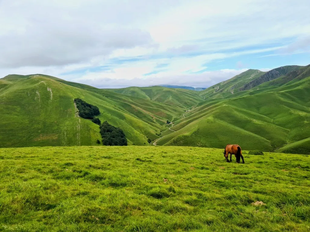
In the valley, we reach an asphalt road, which we follow for a while. We pass by a beautiful campsite with horses between some tents and campers. However, we continue on to a campsite 3.5 kilometers further, one more hill to climb. It's a bit farther but has a store for some groceries. We plan to stay for a day, or maybe two, to rest, prepare for the upcoming stages through the mountains, and spend a rainy day at the campsite. It's still a challenging climb and descent over forest paths. The last stretch is on asphalt; we pass by two lakes and soon see the first caravans. A beautiful campsite nestled among the woods and mountains. The reception is located 3 kilometers away, so we won't be heading there today. We make a phone call and luckily can already set up our tent. We're relieved when everything is set up, we've showered, and finally enjoy a quick meal at 9 p.m.
How long can it take to cover 20 kilometer? In the Spanish countryside, it was less than 4 hours of walking with an hour's break. Today in the mountains, it was almost 11 hours…