This stage of the GR5 hikes out of the Vanoise. From the refuge, the trail remains fairly flat at first and hikes at an altitude around two reservoirs through a rocky landscape. The second part of the hike is a considerable descent through forests and across meadows to Modane. This stage descends from 2476 meters to 1108 meters in Modane.
This morning when we wake up, the view is a little different than previous days. Because of the heavy rain last night it's still cloudy and we can
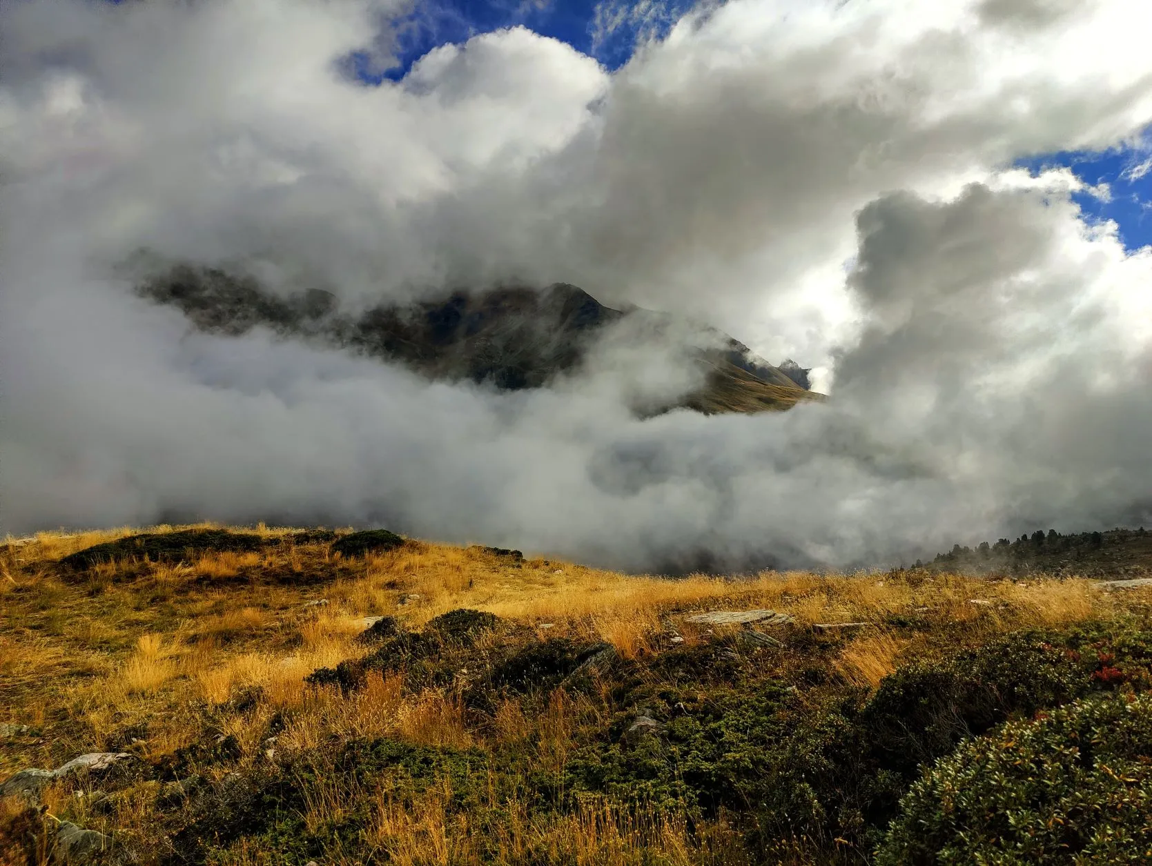
barely see the mountains around us. As we sit down to breakfast (with our "just-add-water" granola bag), large white clouds rise from the valley, depriving us of the last remaining view across the valley. It's a phenomenal sight.
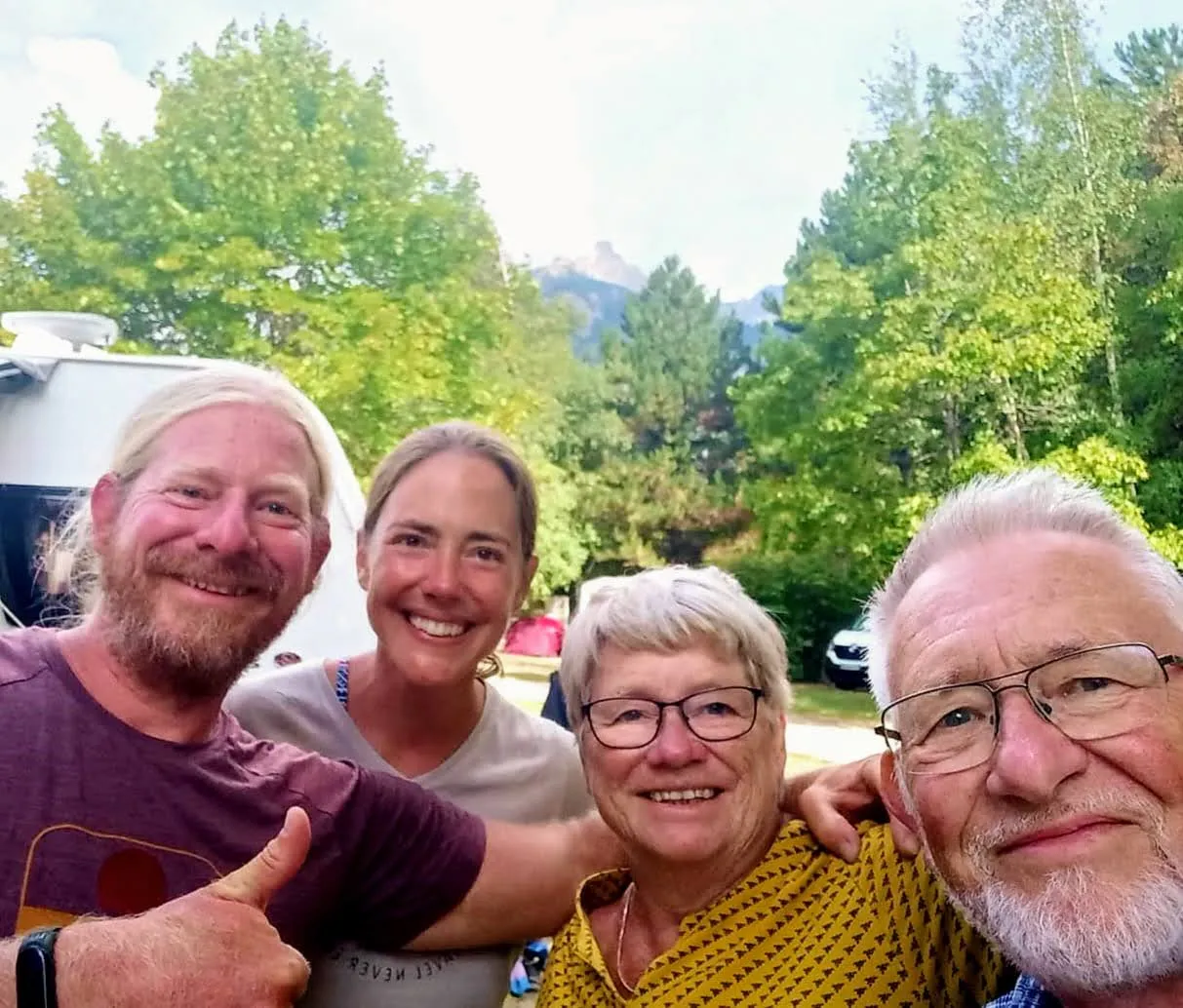
The view won't get much better in the first stretch. Still, today is a special stage: we walk out of the Vanoise and at the foot of the mountain range, some 1,300 meters down in Modane, Mark's parents are camping and we look forward to seeing them again. Although there are many ways to keep in touch remotely, nowadays (via Whatsapp, video calling and because we upload the stages every day on Wikiloc they know exactly where we are), nothing beats seeing each other in 'real-life'.
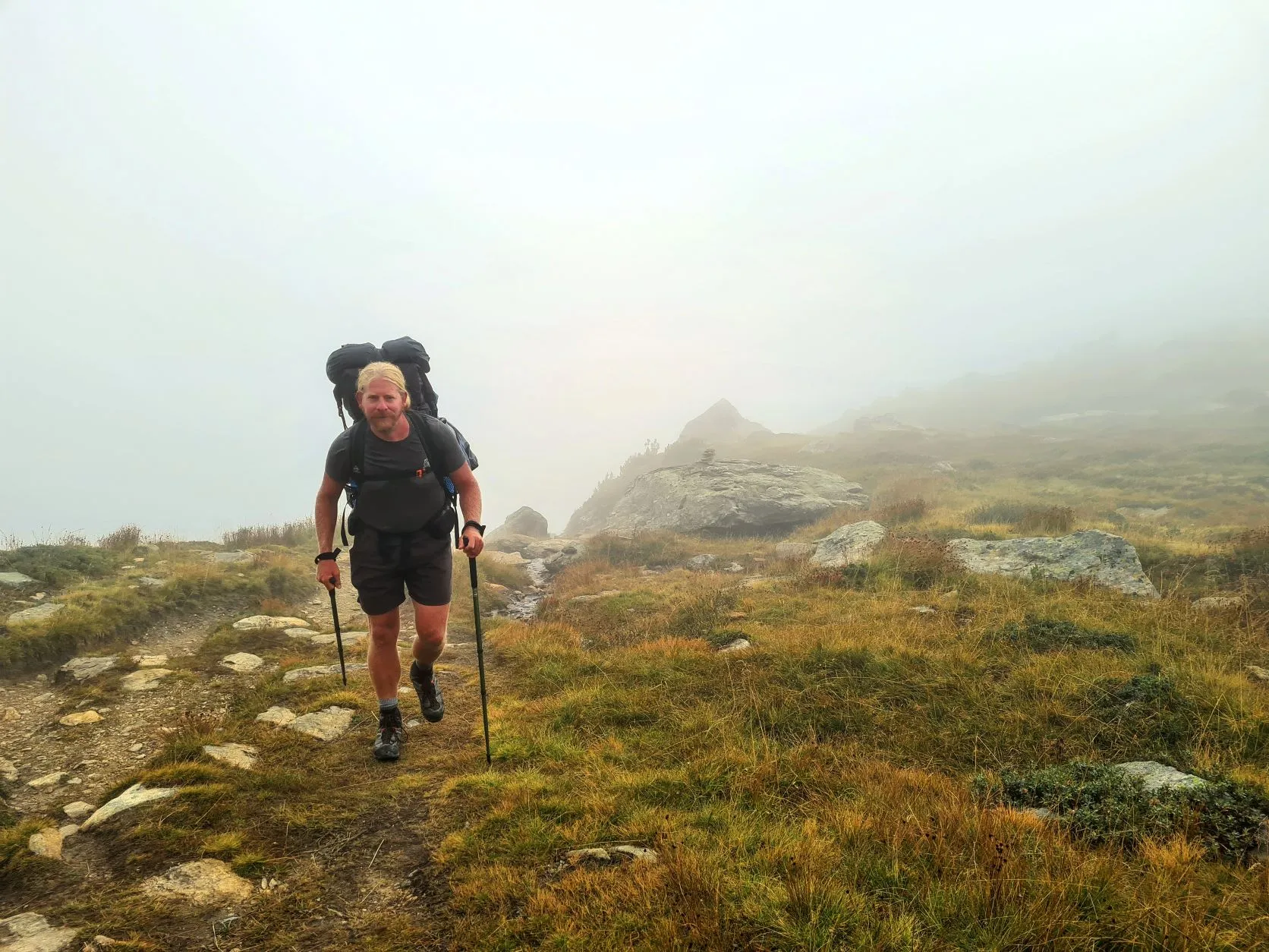
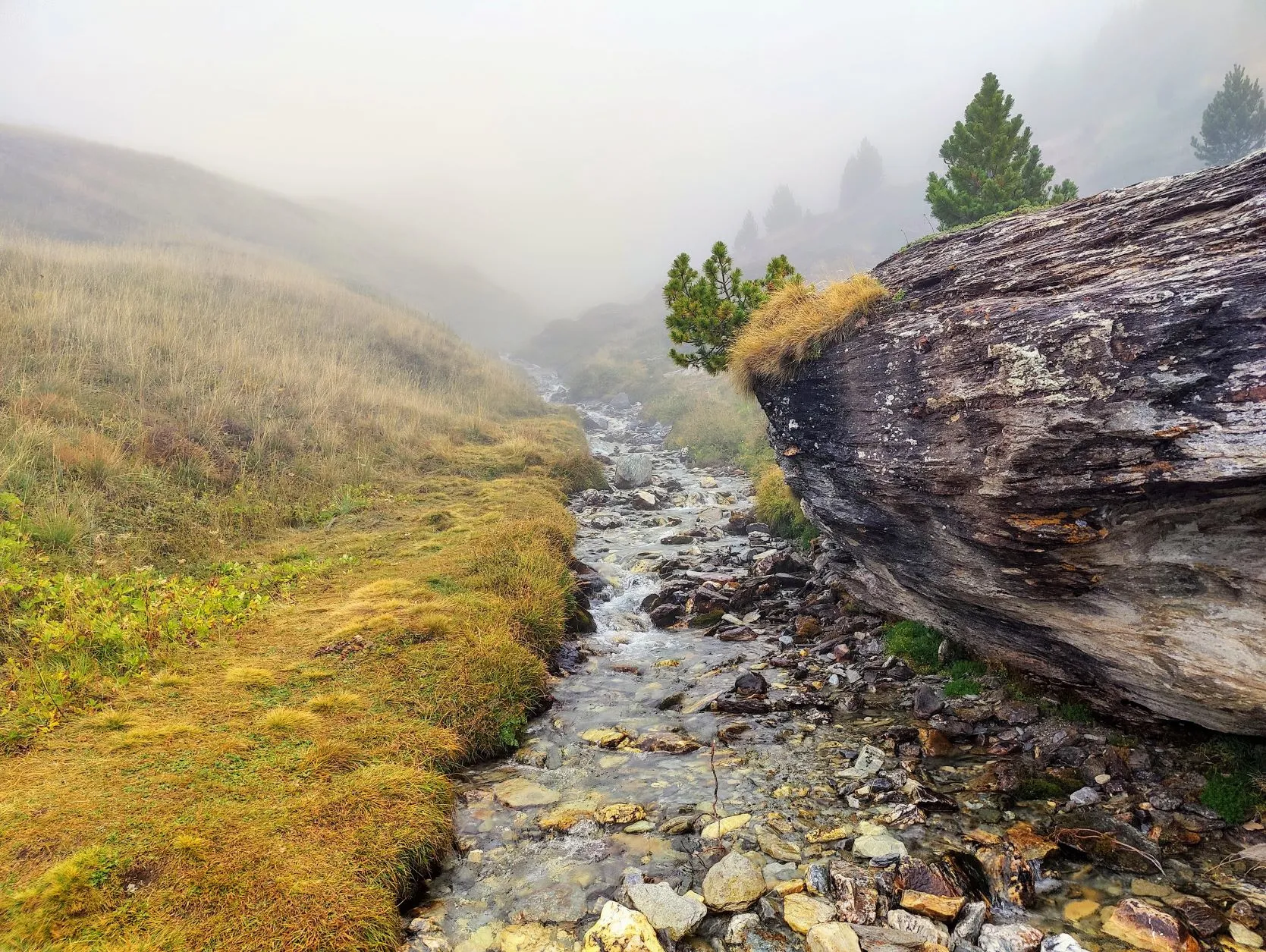
From Refuge du Plan Sec we walk through the fog above along 2 reservoirs, Plan d'Amont & Plan d'Aval, which power a power plant 900 meters down in the valley. Yesterday we were able to see them briefly, but today they are completely covered by the thick fog.
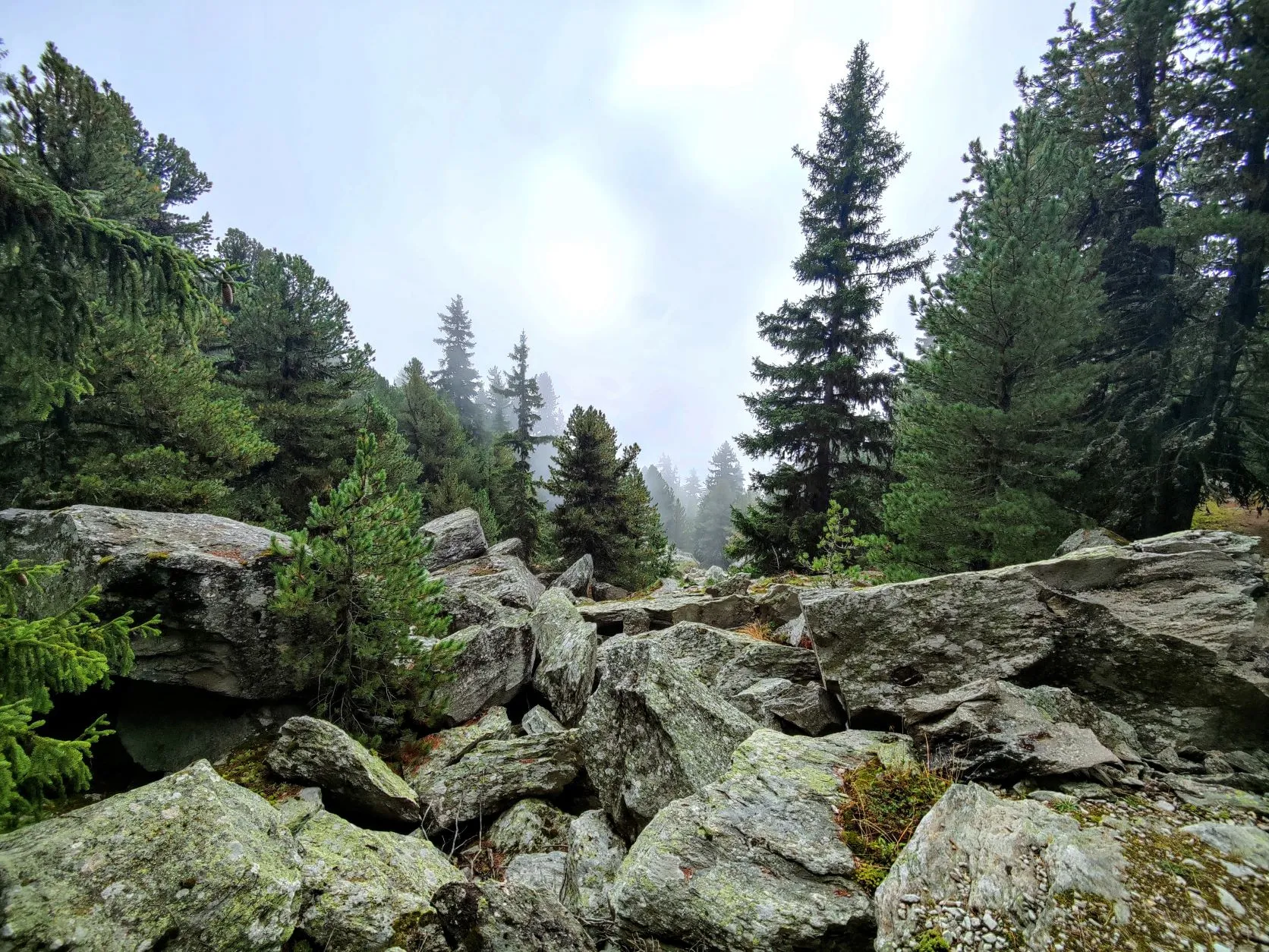
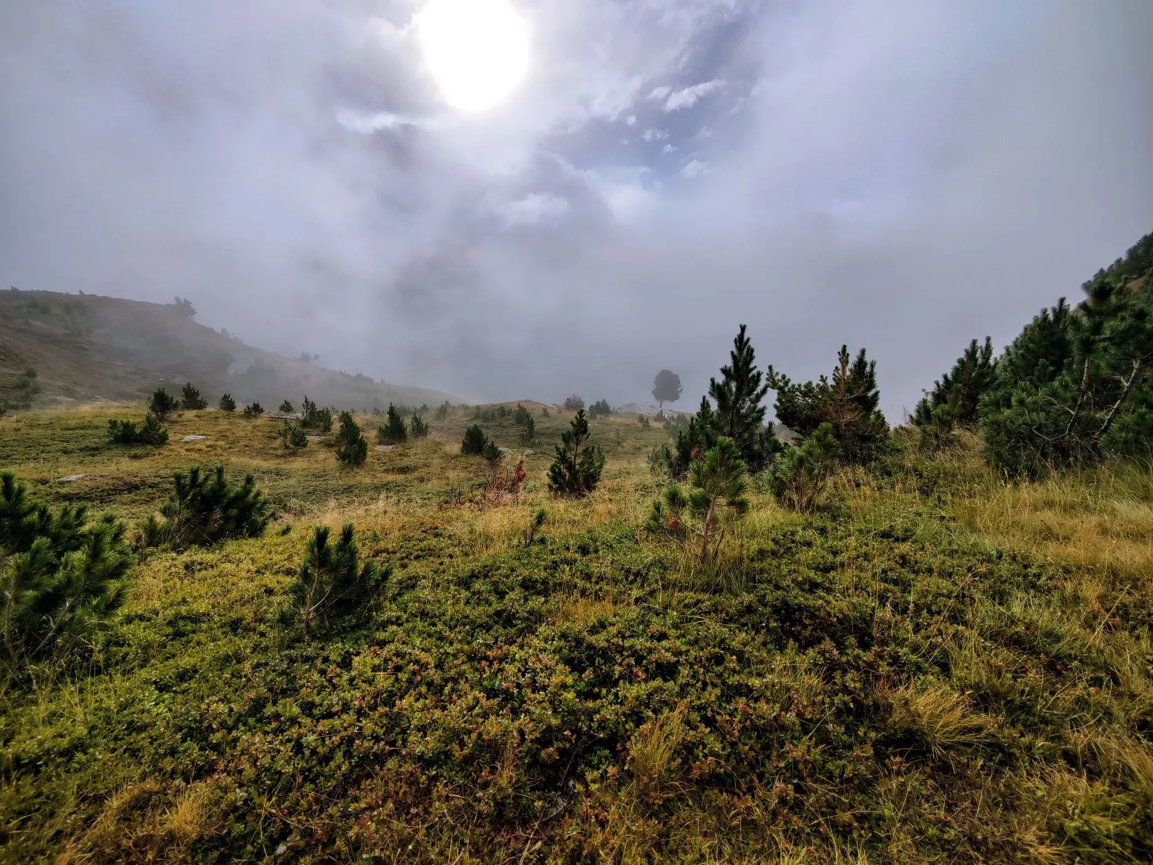
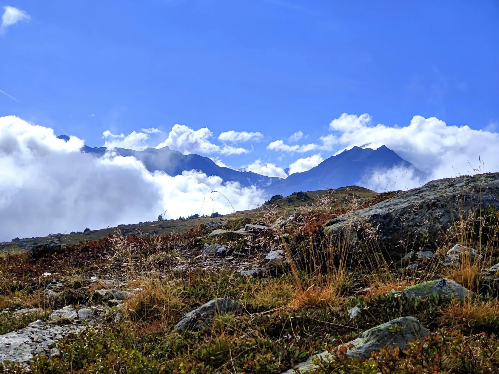
The trail is wide and easy to walk on, but it feels mysterious in this weather. After walking fairly flat for a while, on the other side of the lakes there is a 200-meter climb and we emerge slightly above the clouds. The fog slowly breaks open here, the sun is showing itself more and more and patches of clouds drift past the mountain peaks. One moment we can see the mountains beside us and the plain in front of us, the next we are walking through dense fog. We walk across a sloping plateau with the familiar yellow grass and marshy vegetation such as cricket, willowherbs and blueberry bushes. It's a lot cooler because of the fog and although everything is dotted with tiny droplets of moisture (including Mark's beard, which has grown quite a bit since we got rid of the shaving gear...) it walks wonderfully. Until about halfway, the route remains fairly flat and the last 9 kilometers we will descend from above 2,300 meters, down to 1,100 meters.
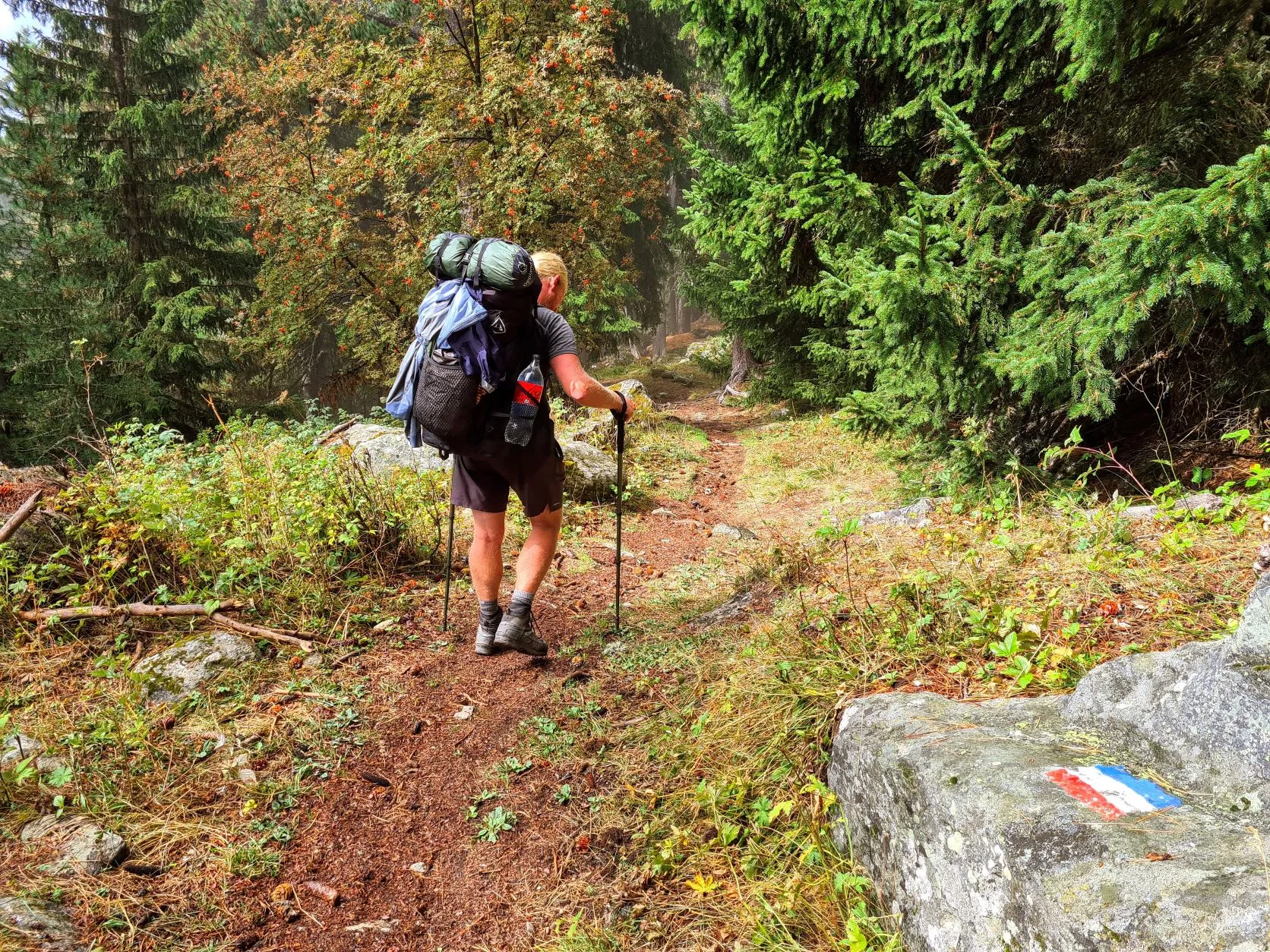
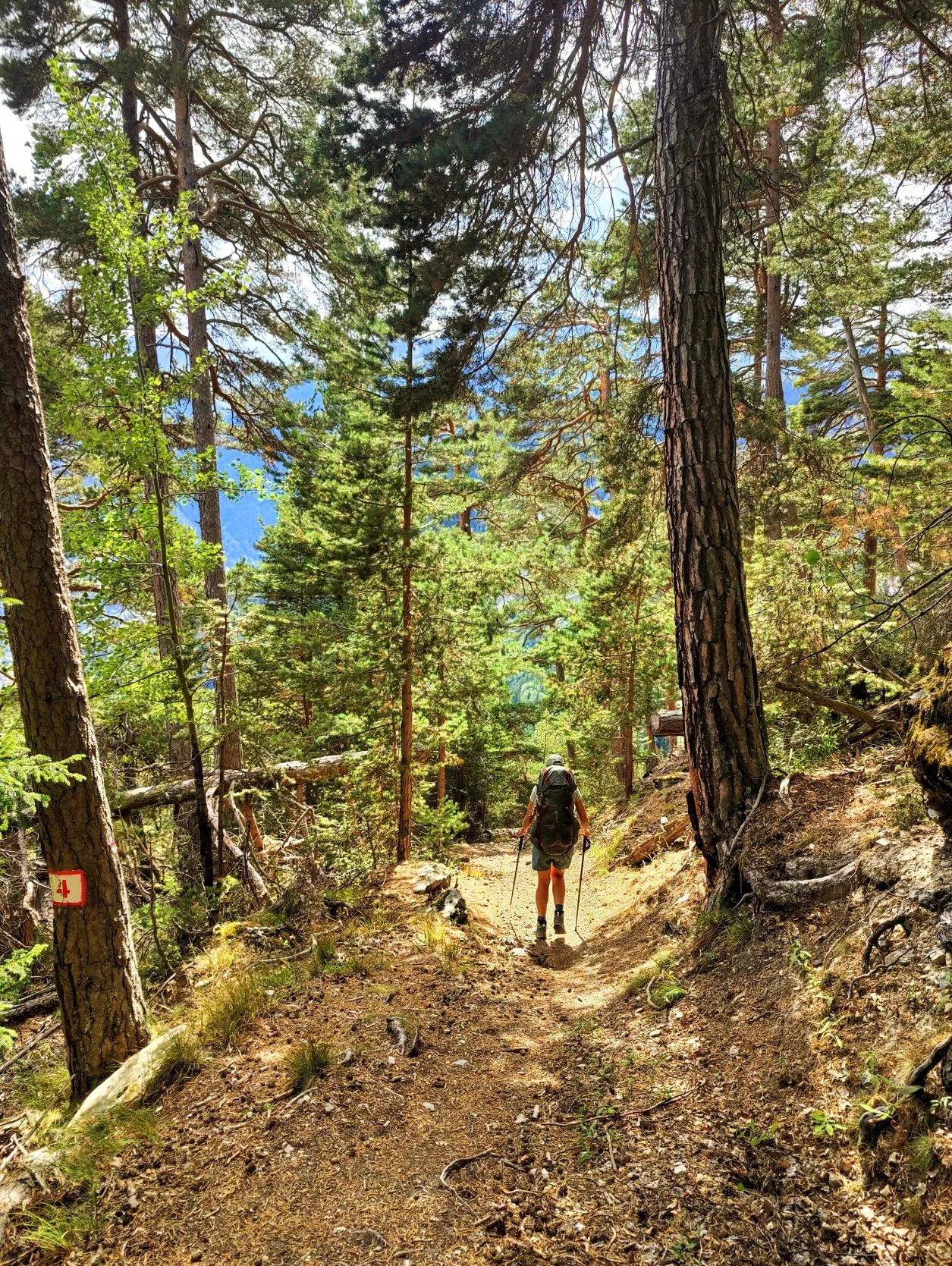
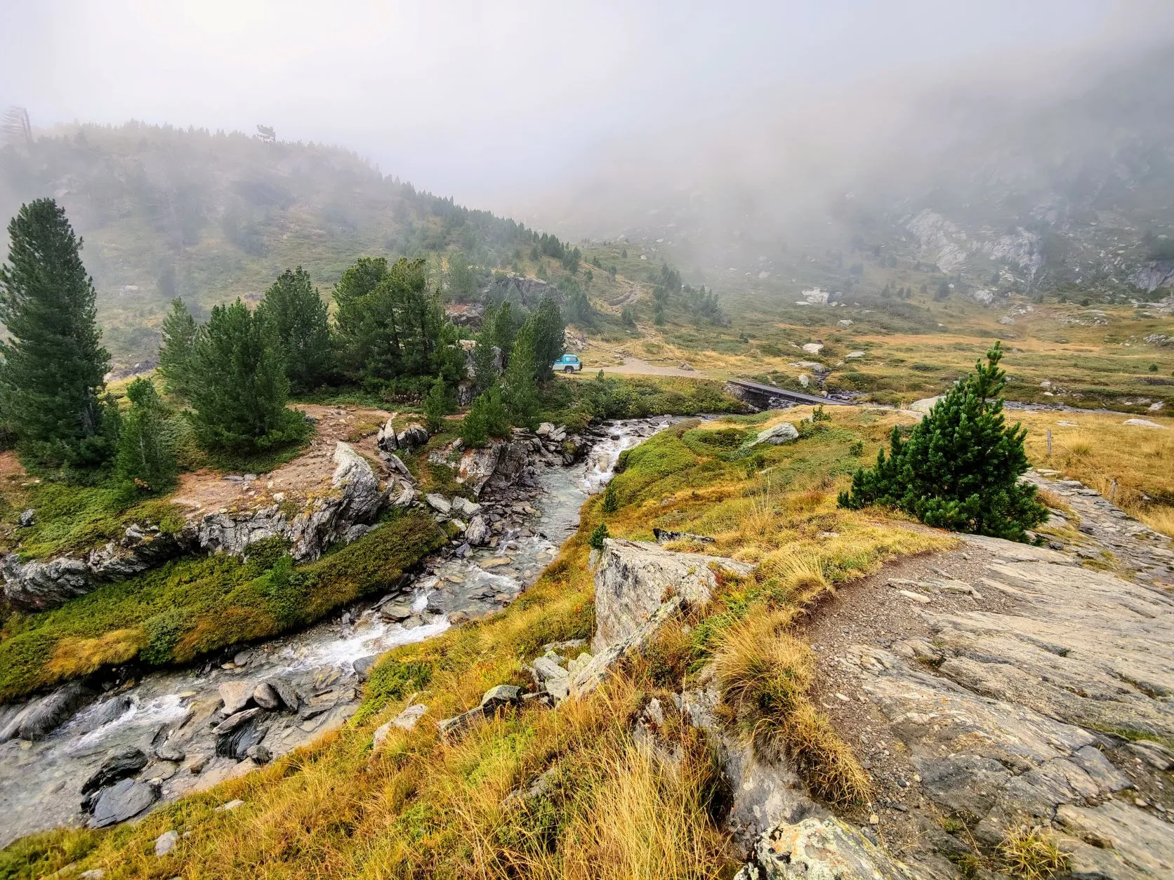
We are ready for a break, but it's still too foggy here and with this weather it's impossible to let the tent dry, so we decide to keep on hiking. We begin the descent, and soon we reach the tree line when it slowly begins to clear up. Long strings of moss hang from the branches of the conifers, so fog will certainly be no exception here. The trees around us are pines, and have beautiful large pine cones with seeds shaped like pine nuts. It turns out that they are edible and in Russia they are diligently collected. It's a very slow-growing tree, not big enough to produce pine cones until 60-80 years old. The trees around us here are quite large, so we suspect they must be hundreds of years old. Halfway down the descent the area flattens out for a while and we come across a nice meadow overlooking the valley. By now it's nice and sunny, so we quickly pitch the tent and take a nice break.
Afterwards, we soon arrive at a high valley where some cottages and refuges are clustered together. We can fill our bottles with drinking water at one of the cottages. There are cars parked and we meet some day hikers: we are clearly approaching civilization again! This lovely little valley is followed by a steep descent. With 2 hiking poles and foot by foot, we shuffle along the path strewn with loose stones and tree roots. A bit ahead of us, we see a couple climbing up in a similar pace. The man: a Crocodile Dundee type - bare brown torso, big hat and broad smile - and the woman could have been a teacher at an English boarding school. A beautiful couple, certainly in their 70s. They came from England to France, to walk from the Mediterranean Sea to Lake Geneva with two large backpacks and a tent. Respect! You can only dream of being able to do this for another 30 years... We talk about the route we walked and the one they walked. They tell us about a variant of the GR5 that doesn't end in Nice, but in Menton, a town about 25 kilometers beyond Nice, near the Italian border on the Mediterranean. This variant runs longer through the mountains and nature and is one of the most beautiful stretches they have ever walked. We have already met several other hikers who have walked this variant and everyone praises it, so we take it under consideration... We have little time to choose, as it involves the last 80 kilometers or so.
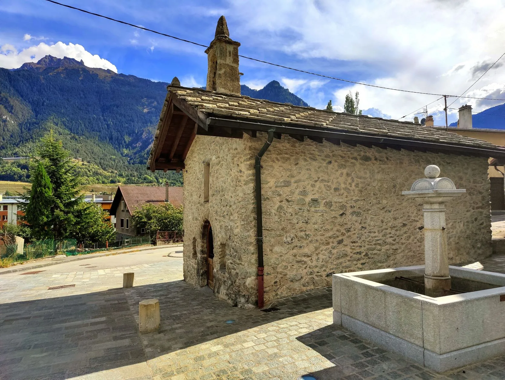
After this lovely encounter, we descend fairly quickly and reach the village border of Modane. Just a few more kilometers to the campsite. We walk past cottages, gardens, a little church and cross the river l'Arc that we have seen from above for so long. We continue along a wide road to the campsite, where Mark's parents are sitting under a tree near the caravan. They jump up when they see us coming. It's wonderful to see each other again after such a long time! We have so many stories to share... And while chatting we enjoy the bowl full of fresh fruit and the delicious fresh meals from mom's kitchen after 4 days of freeze-dried food... What a warm welcome!