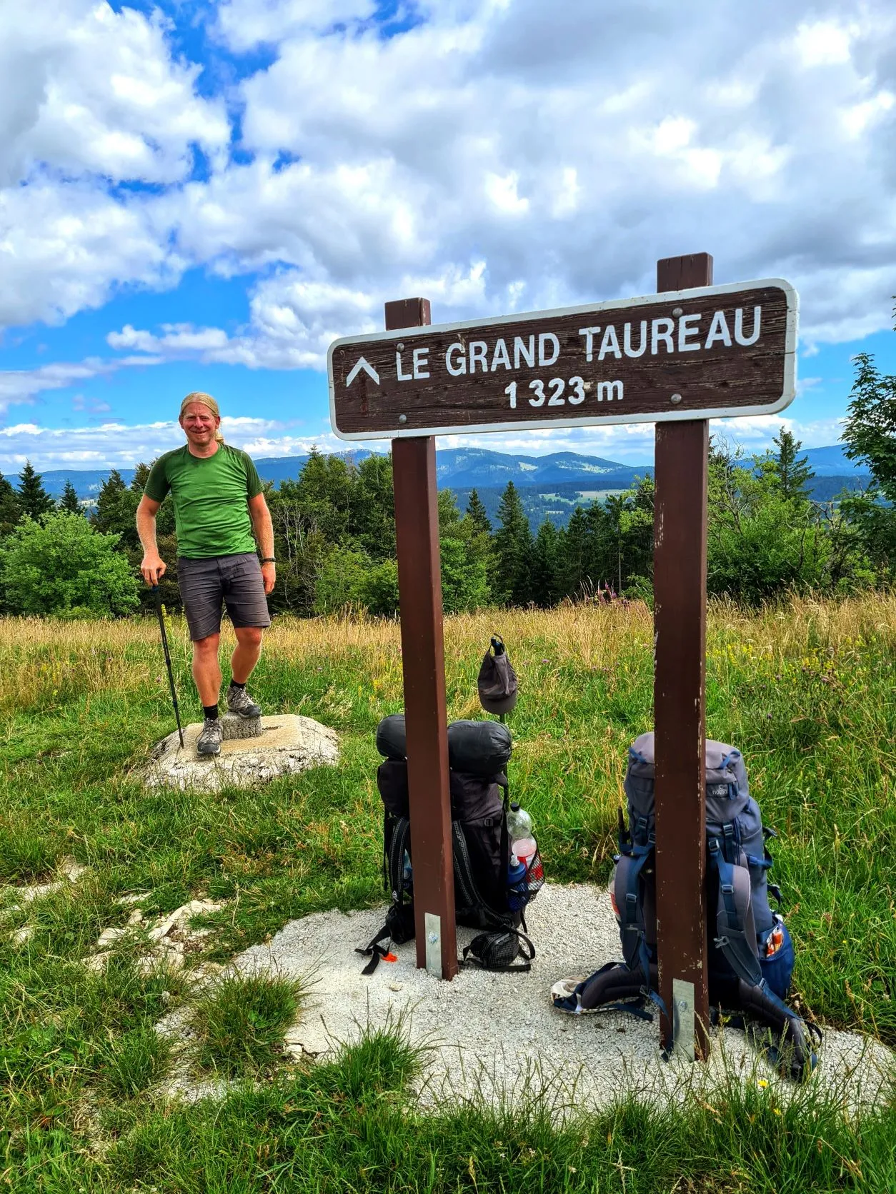
Once again, this magnificent hike goes through the beautiful landscapes of the Jura. Forests alternate with mountain meadows and the occasional small village or farm. The route is long with lots of climbing and descending but this is rewarded with beautiful trails and stunning views, culminating in Mont Le Grand Taureau, at 1324 meters.
The advantage of sleeping in a hut is that you have to get up in time to get ahead of any early hikers (a little uncomfortable when someone comes in while you are still in your sleeping bag…). Right after waking up we start packing and we don’t have to pack the tent so it goes nice and fast.
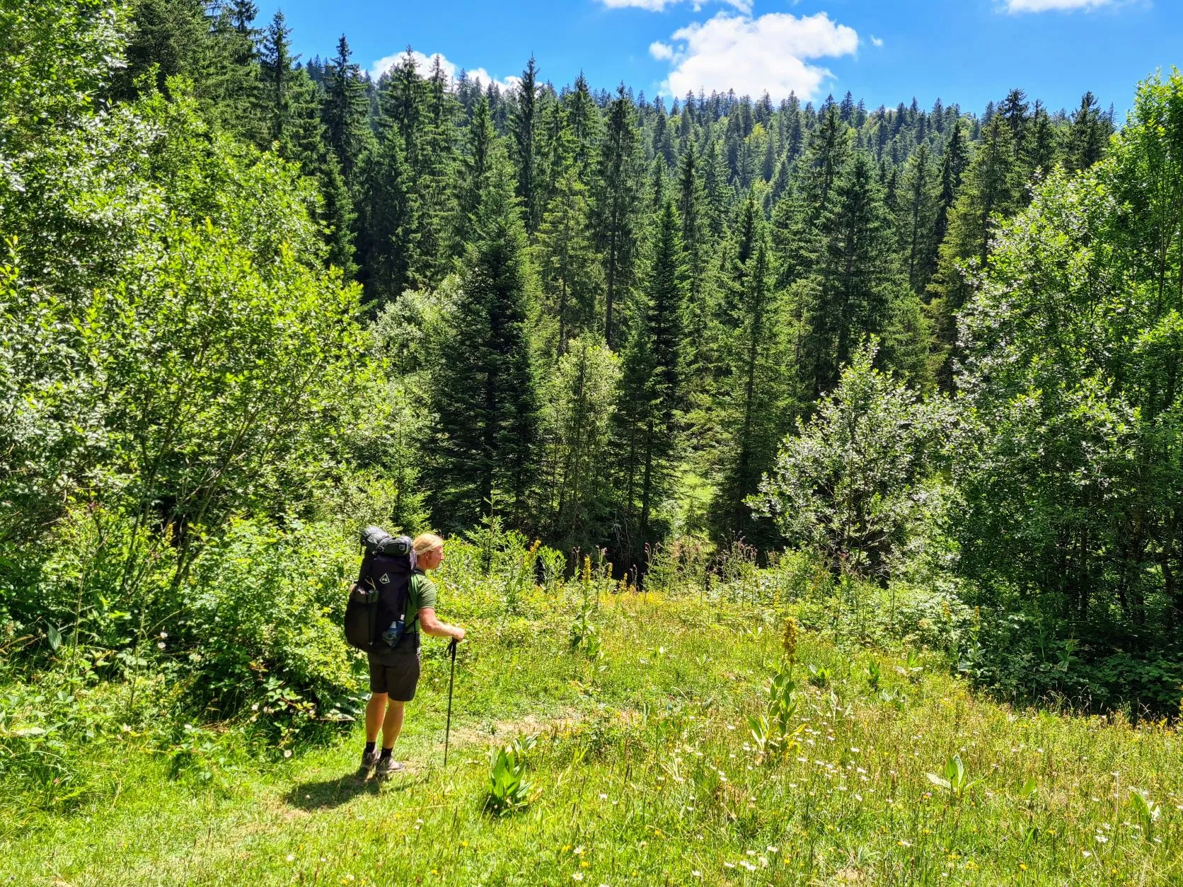
Before 8 o’clock we leave the hut tidy (we always try to leave it just a little bit better than we find it) and we hit the road again. Today will be a long stage of 27 kilometers with quite a bit of climbing and descending, so it’s a good thing we can leave on time.
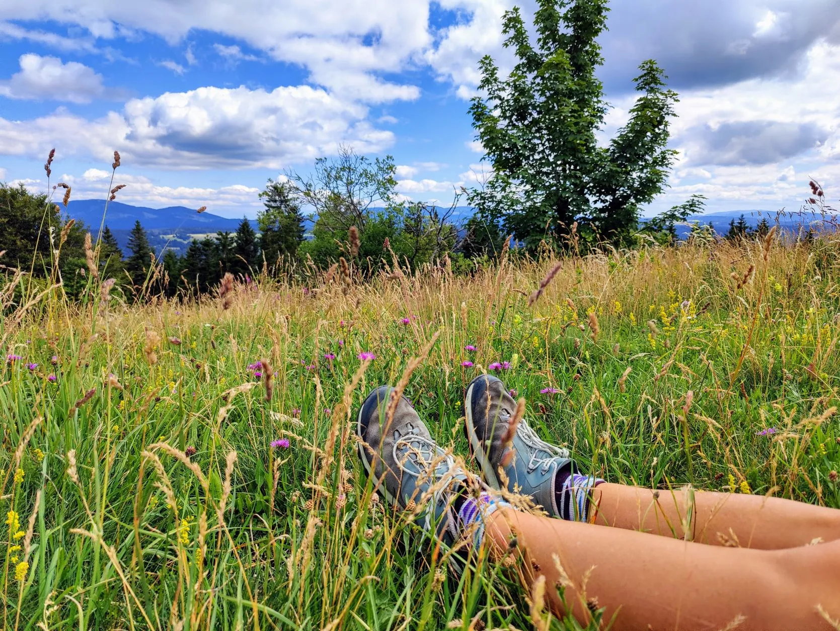
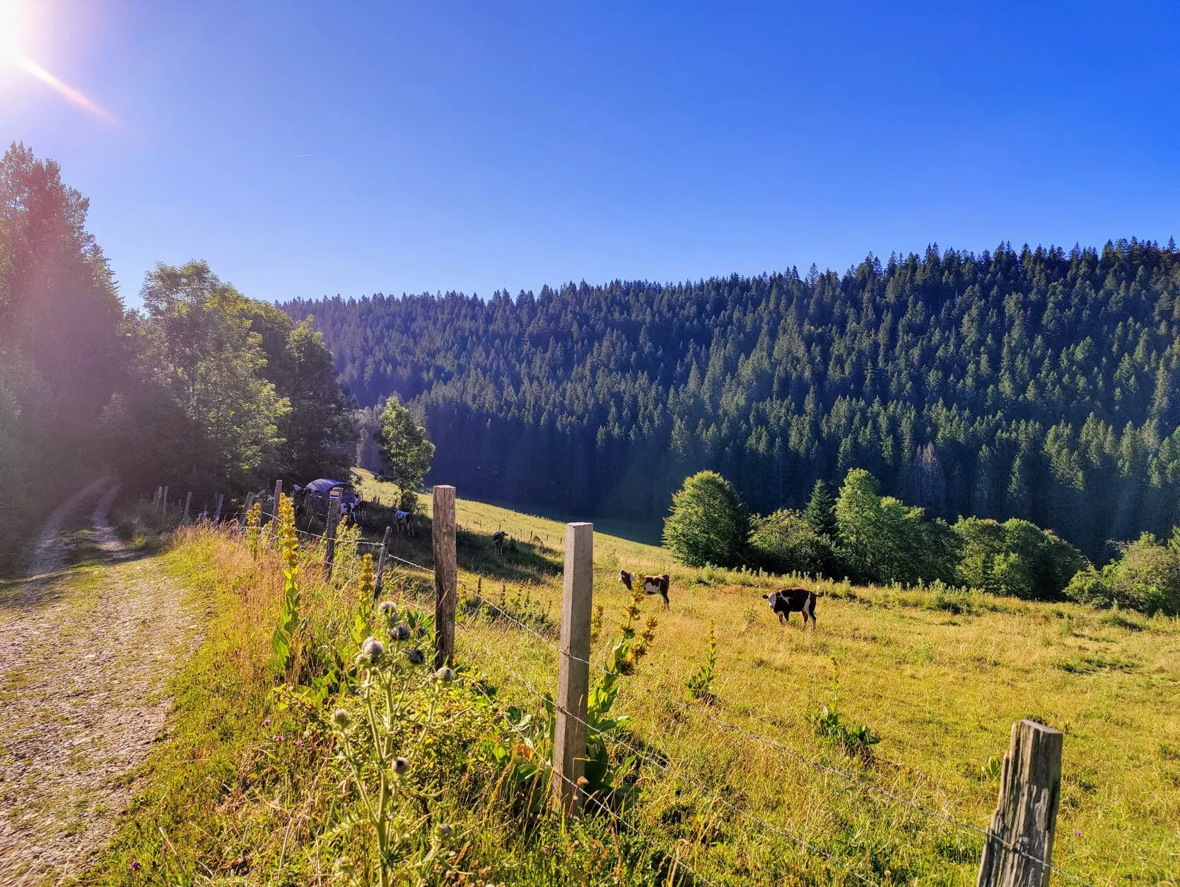
Soon we walk between cows through a meadow towards the forest and then a small asphalt road that we follow for quite a while. After a small village of a few houses, the trail turns back into the woods. On this path we fortunately do come across a spring where we can tap a bottle of water for a cup of coffee in our break. We prefer to hike until about 10 kilometers, so that we already have the first big climb behind us. Arriving at the top, we find a beautiful meadow among the pines, where we can take an extended break on the border. We set up the tent, which has had a night “off” and it’s clearly necessary; it’s still soaking wet from last morning’s dew. The sun is shining and there is a breeze, so it dries quickly.
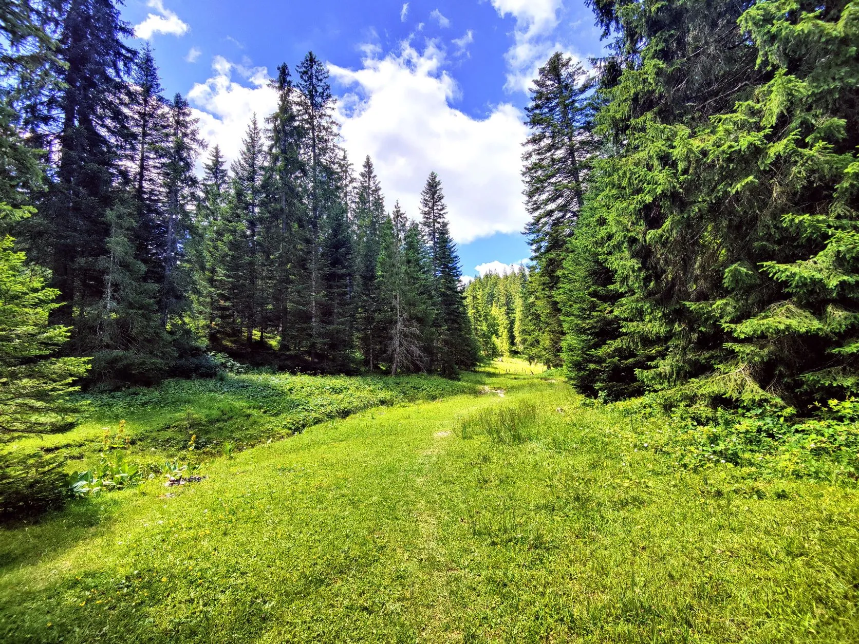
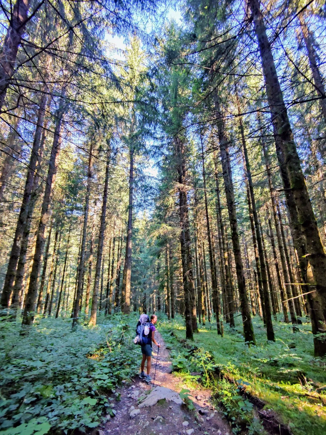
As we continue walking we follow a beautiful large forest path downhill past rocks and streams. Everywhere along the path are wild strawberries that look so jummy and we can’t resist to pick a few here and there. Which is sometimes quite clumsy, bending down low with a heavy backpack.
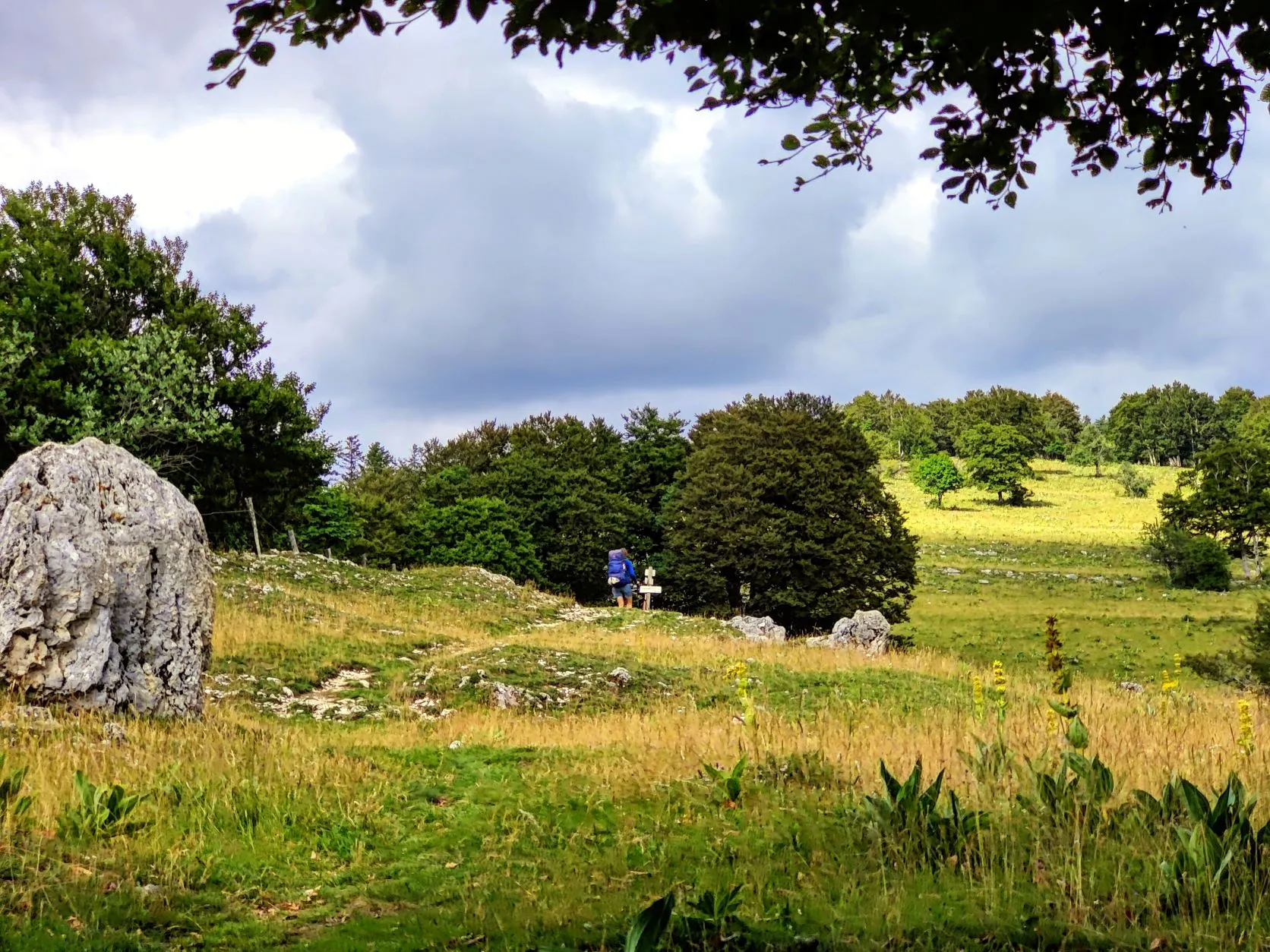
Just past the village of Les Alliès there is a sign at the road markings that the route (again…) has been changed. The new route goes from here over Mont le Grand Taureau, towards Pontarlier. It’s a completely different route from the one we have on our navigation. Since the original stage is already over 27 kilometers and we have climbed and descended quite a bit, we are not sure what to do. The new route goes over quite a high peak and we risk getting a few extra kilometers that way. But the temptation to walk the new route wins after all. So from here on, we are 100% dependent on the white and red signs and how they will lead us through the landscape.
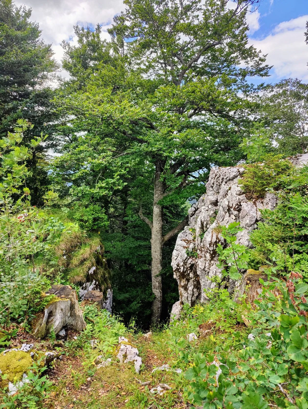
What follows is a wide forest path that rises and then descends for a bit, running into Switzerland for a while. After another wide forest road, it turns into to a beautiful little path. We walk up the crest of a mountain along a deep ravine with breathtaking views. The GR5 lives up to it again: this is BEAUTIFUL!
Between the rocks we walk on small mountain paths to the top of the mountain. At 1324 meters, Le Grand Taureau is only 100 meters lower than the highest point in the Vosges Mountains.
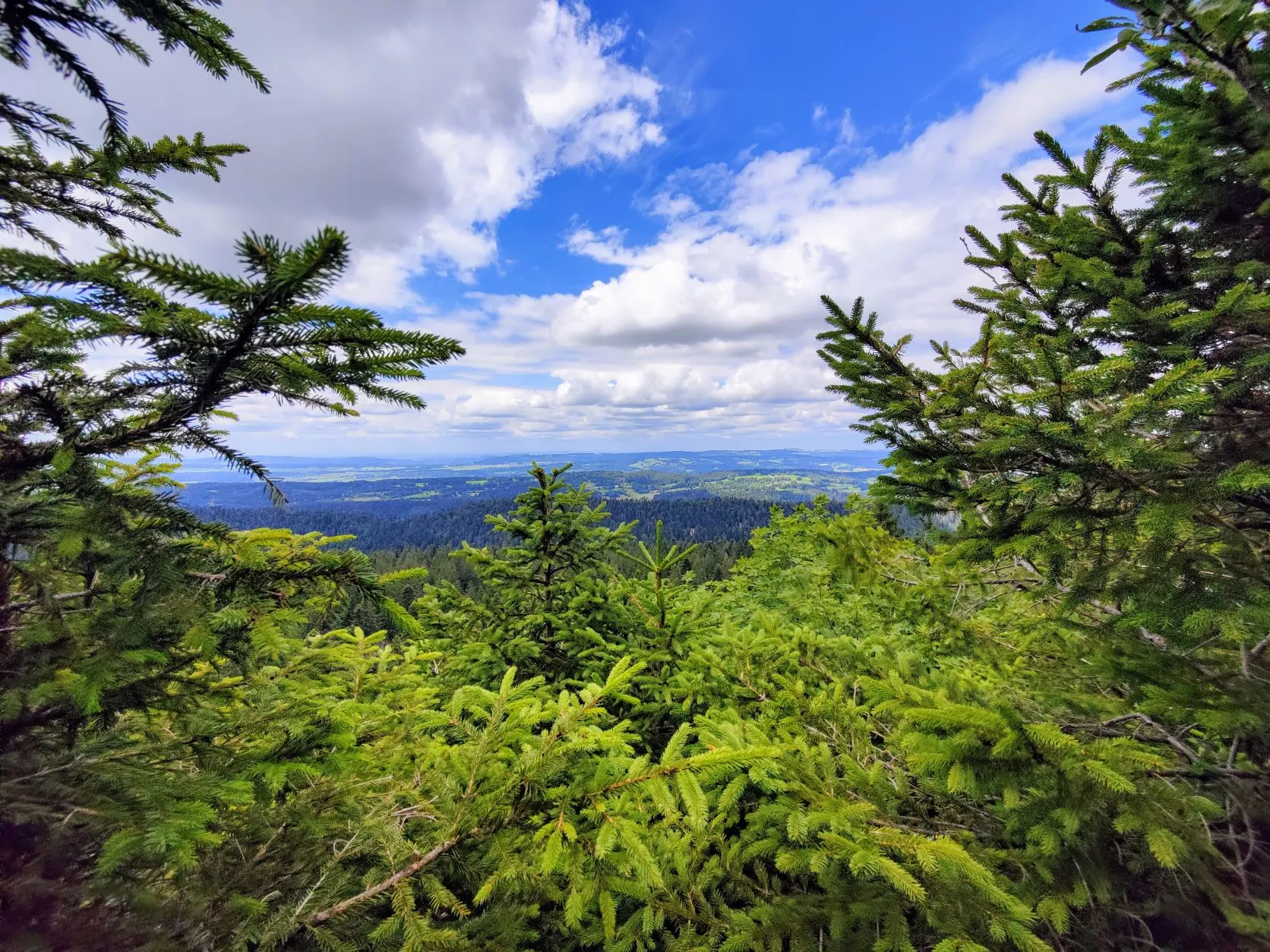
Heading south, we have a view over the Jura, toward the Alps. Southwest, we look out of the Jura toward the countryside. Wow! We take a nice break before descending the last 7 kilometers to the campsite.
As soon as we get back on track, the detour turns out to be about 3 kilometers longer than the planned route (plus an extra 200 meters up and 200 meters down…) but it was worth every step.
When we arrive at the campsite our legs are pretty tired from the long trek and we only have some leftover food in our backpacks. The nearest supermarket is over 2 kilometers away; that’s just too far after today’s hike… Fortunately, the owner of the campground knows what to do: she gives us a bill from the local pizzeria that also delivers to the campground. So one hour later, after a good shower, we unexpectedly enjoy some delicious pizza in front of our little tent. What a treat after such a day