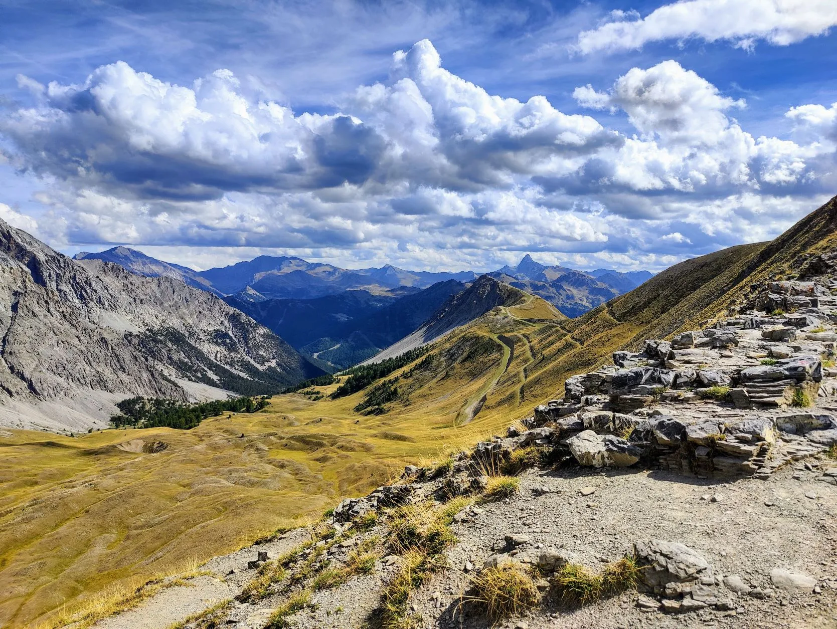
Beautiful stage with a lot of ascents and descents. The route starts slightly downhill along the river La Clarée then rises through the beautiful valley of the Torrent des Acles. A beautiful landscape with large old trees between meadows and rocks. Towards the col the landscape becomes more barren with many views. After Col la Lauze at 2540 meters, the route descends towards the Italian border to Montegenèvre, a ski village with wooden houses.
This morning's departure is a bit later than planned... Here at the campsite in Névache they have lockers where you can charge your phone and power bank. That comes in handy, that way you don't have to just leave your electronics unattended in a washroom to recharge. Last night we put the powerbank in one of those lockers (it's empty every day from charging the phones we use to navigate and take pictures with), but this morning it was far from full. Aii, a nice system, but unfortunately it doesn't work well! And we really do need some energy for the road. Fortunately, our power bank charges quickly through the wall socket, so after an hour of waiting it's quite recharged again and we can finally hit the road.
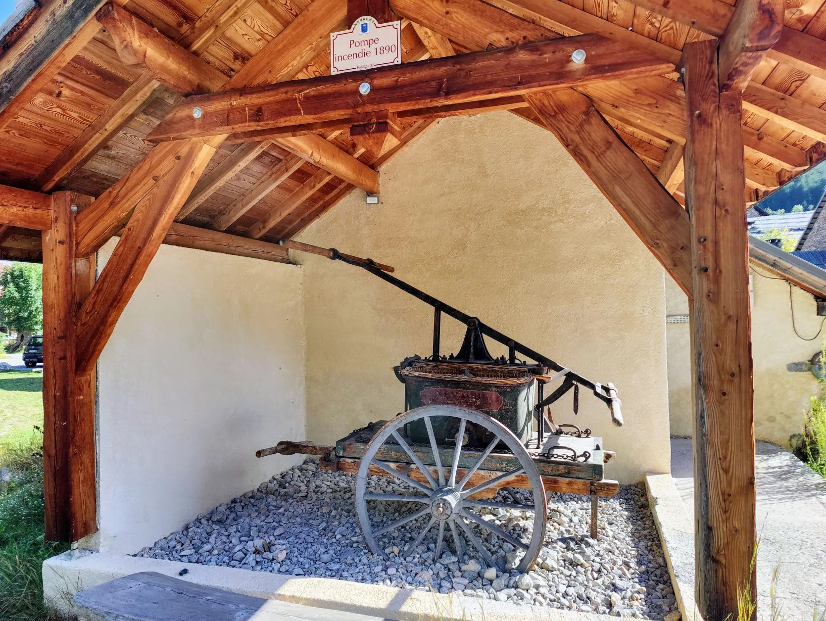
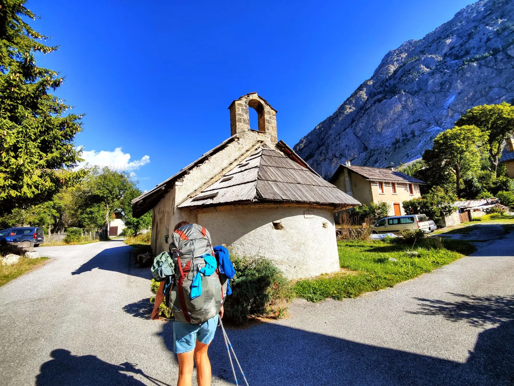
From the campground, we follow the la Clarée River through a conifer forest, where 5 different species of conifers grow. They were all formerly used by man, for constructing ships and bridges, but also because of their medicinal powers. In the small village of Plampinet we pass after about 3 kilometers, they all were processed. Now there's little left of this industry in the village, so it's quite a sleepy town.
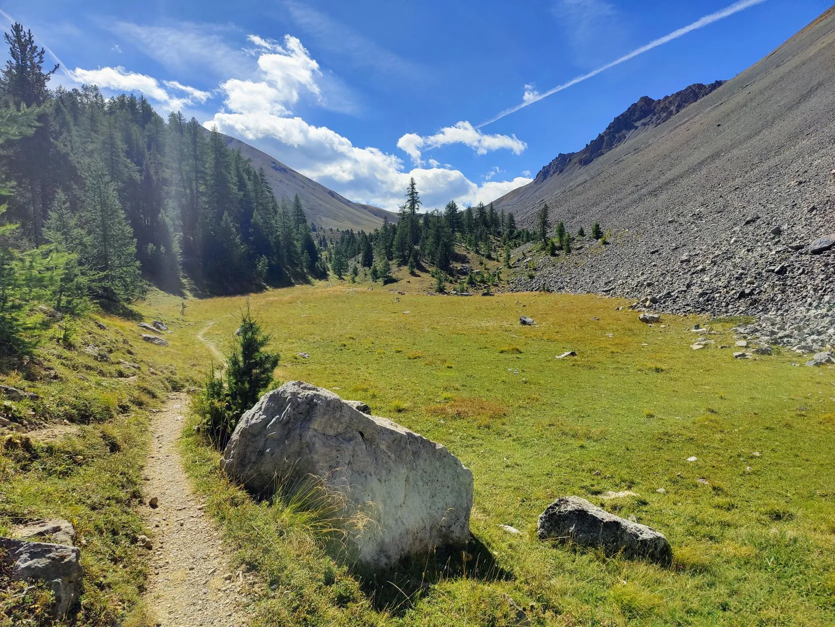
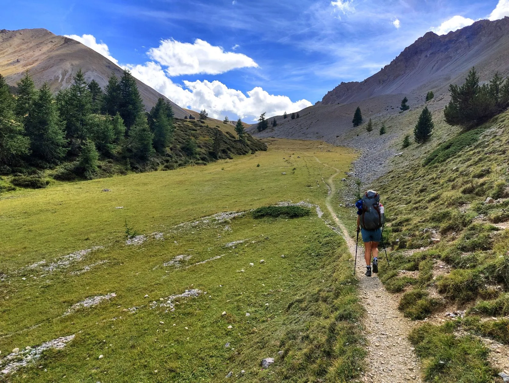
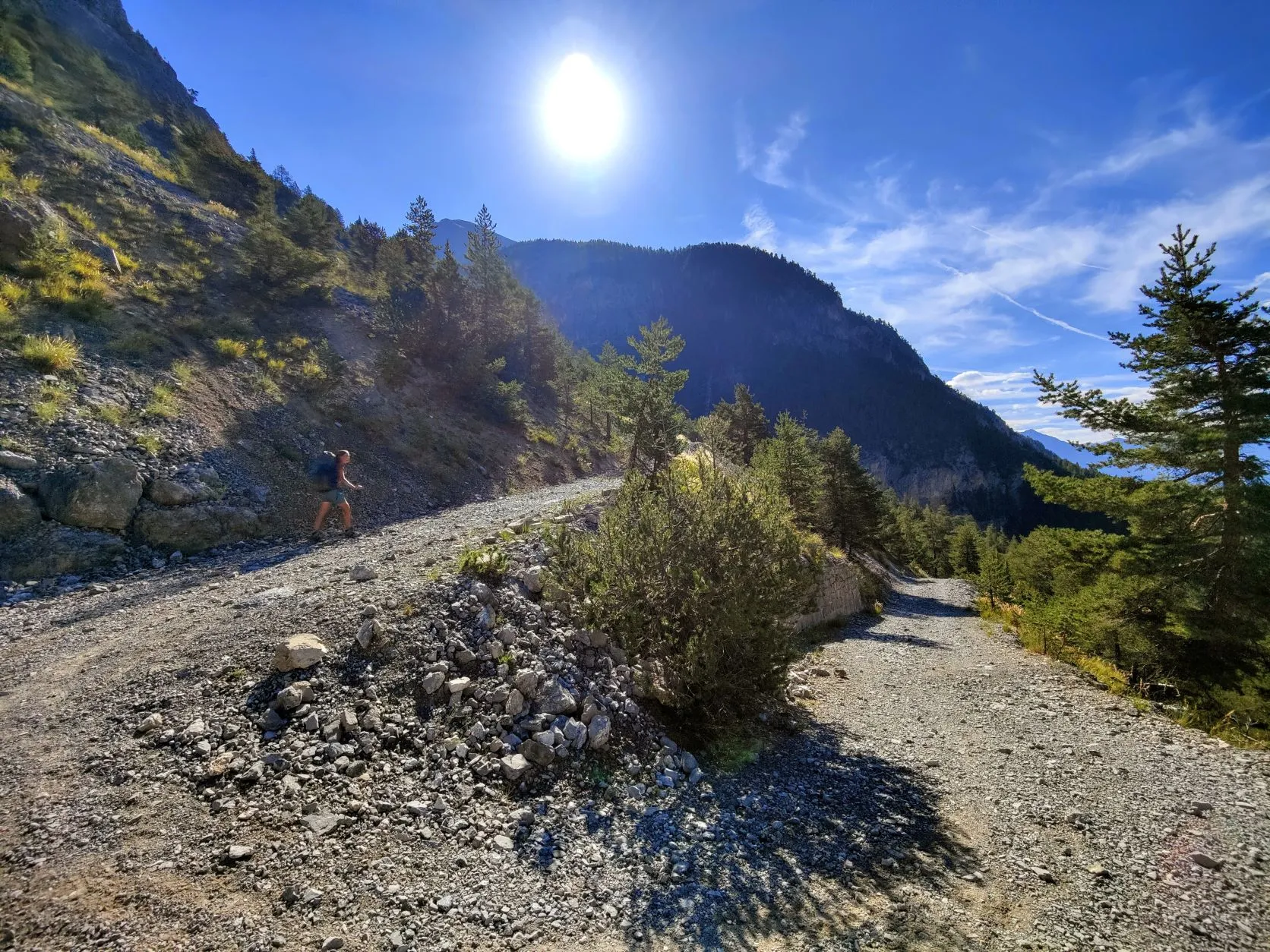
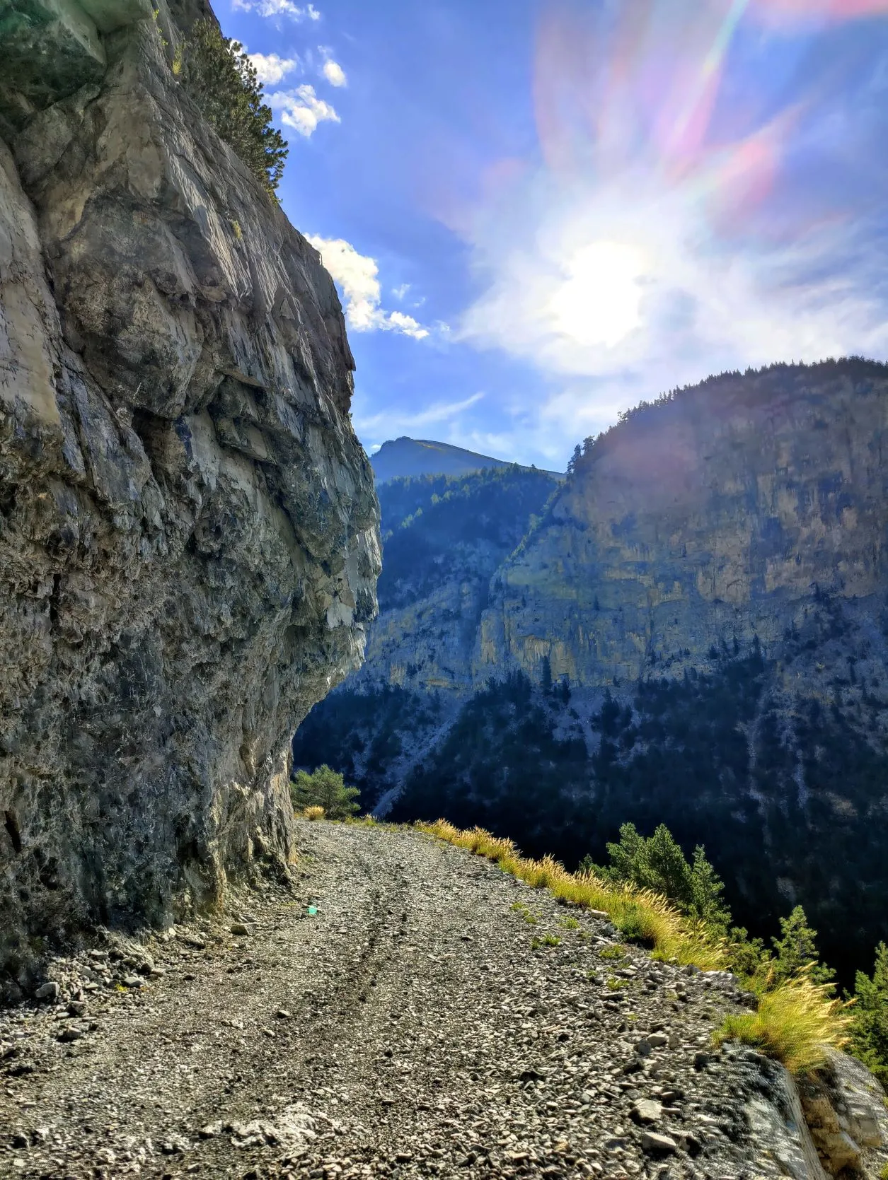
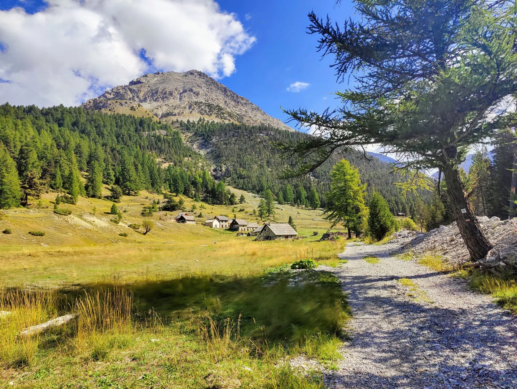
We leave the river and walk past a few houses. From here the climb begins, a hefty one in which we ascend more than 1,000 meters. We soon reach a wide gravel path, which zigzags across the steep mountainside. The path passes the deep gorge of la Cléïda and leads to a beautiful valley where a small settlement can be found, Chalets des Acles. It's a beautiful valley with lots of grassland, quite remote from the outside world. What a place to live... We cross the small river where two people are washing their clothes in the river, sitting in the sunshine. We have climbed quite a bit already, but still have 650 meters to go and keep up the pace. At record speed we walk up the steep slope, along the ever narrowing path and arrive at one of the most beautiful little valleys we have seen. An almost flat stretch of grass on the edge of the tree line, shielded by an imposing steep slope of gray rocks. An ideal spot to take a break! The campsite this morning was situated next to a river in a valley, so the tent is soaking wet again and we set it up to dry properly. It's not very warm, but the sun shines hard at this altitude, so it doesn't take long for it to dry.
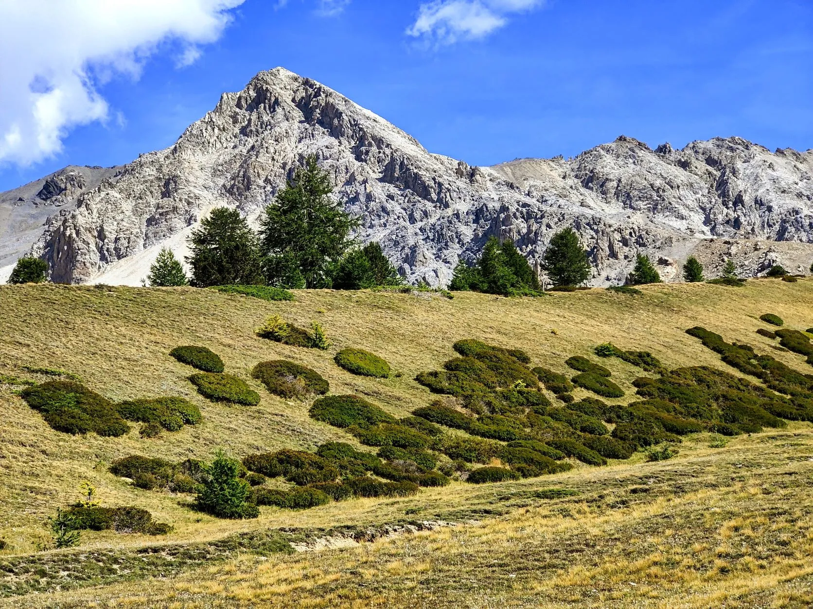
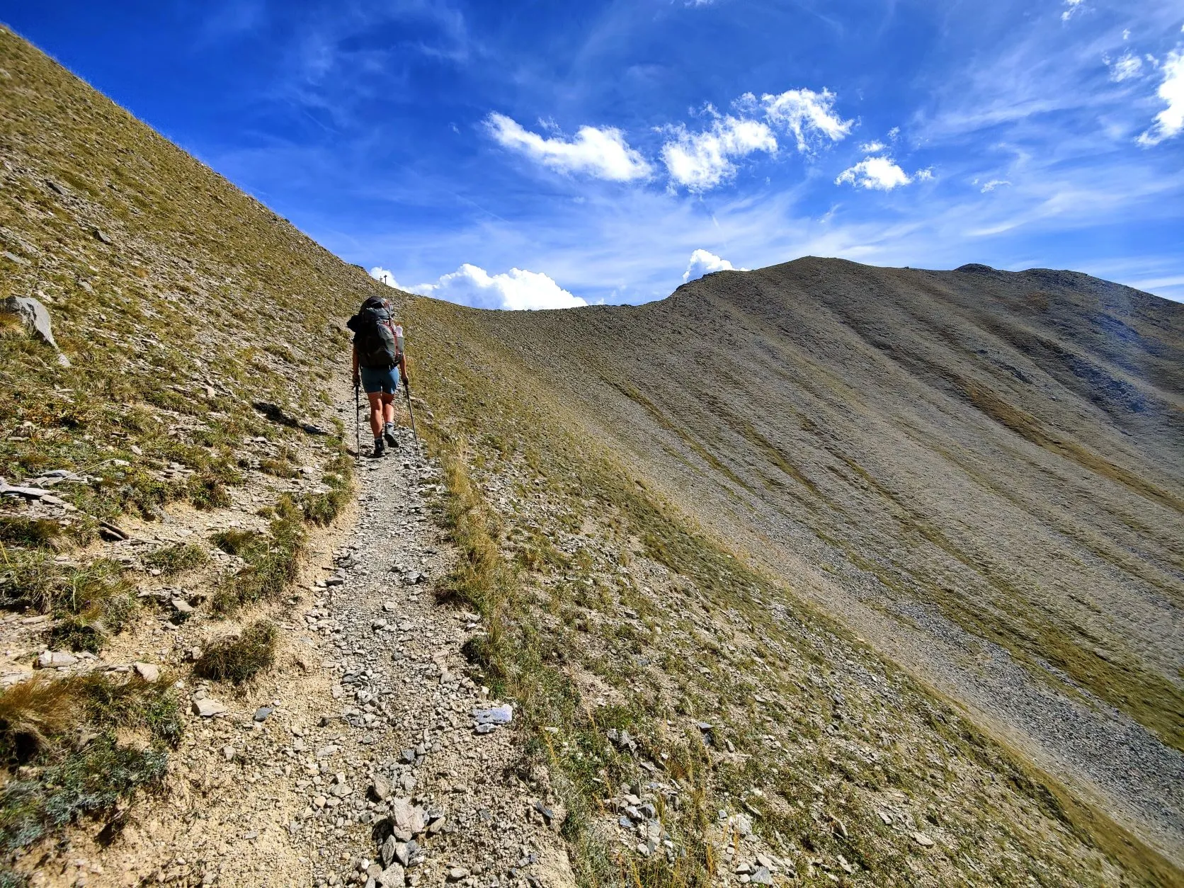
After this break, we climb some more and the landscape becomes more barren. Wow, what a mountain peaks all around us. We climb the last bit to the col and at the top we high5 that we have covered the 1,000 altimeters to Col de La Lauze so quickly! Uhmmm, wait a minute, the sign says Col de Dormillouse... And Col de la Lauze is another 1.3 km away. .. Oops, a little too early, we got a bit more to go! But after 20 minutes we arrive at the right col and enjoy another phenomenal view. We can see the narrow path on which we will descend, winding in front of us. It lies in a wide valley where a few cable cars are stationary. During the descent we regularly walk right past alpine marmots. A little further on we see that the marmots have sometimes become a little too accustomed to people and are probably a little too slow at this time of the season. One lies dead along the path with a wound in his side. It was probably caught by a stray dog. Poor little fella...
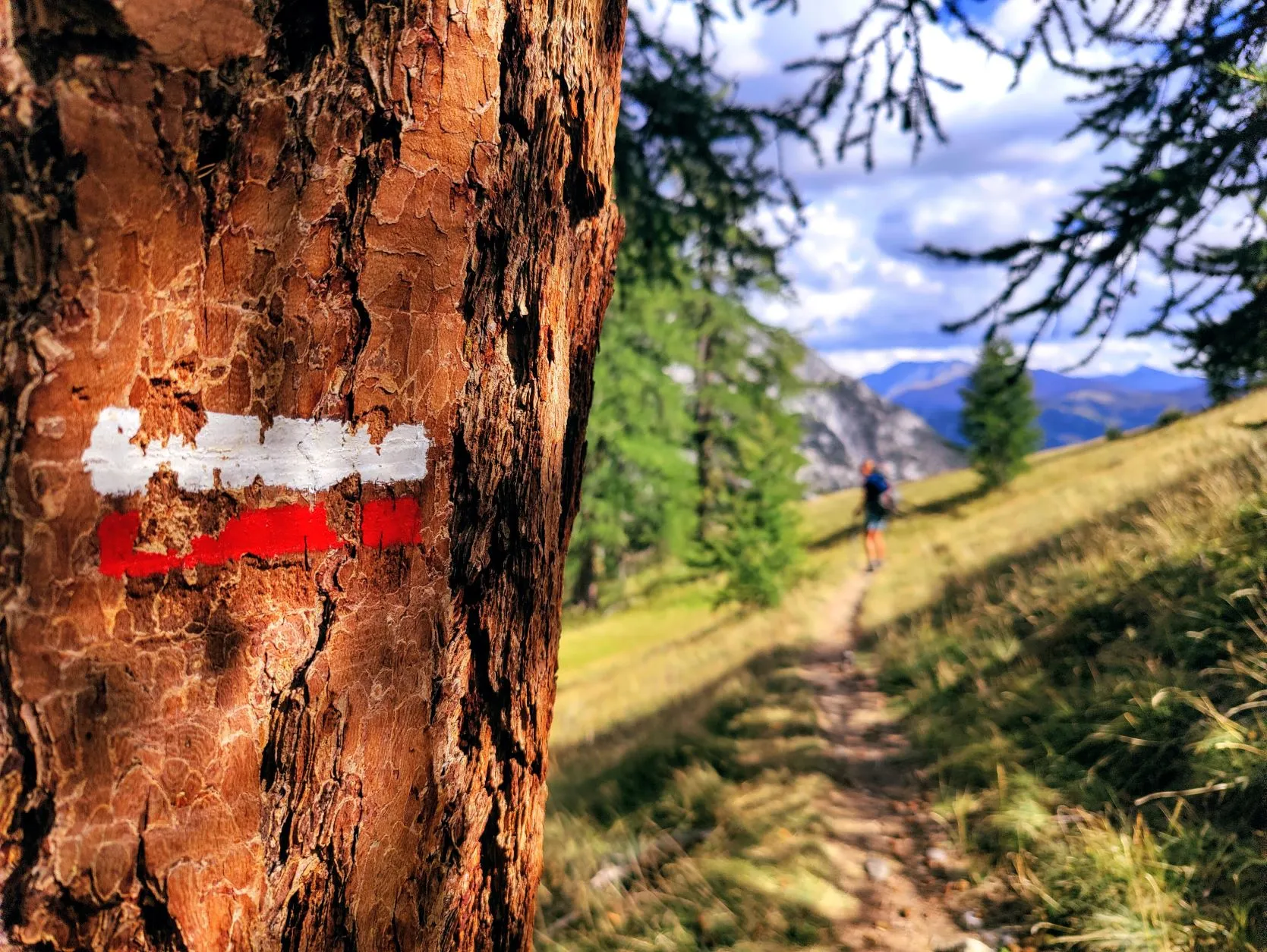
We get to the tree line pretty soon and there the trails also widens again. Italy is a stone's throw from the trail and we have a nice view through on the Italian Alps. We've been around so many times now, sooner or later we just háve to cross the border sometime.
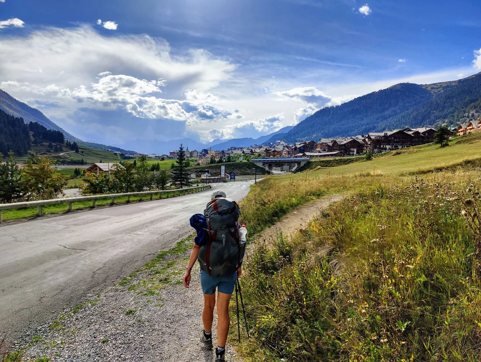
It's not far to Montgenèvre, a ski village above Briançon. It looks like a nice, cozy ski village with wooden chalets, but like most other ski villages we've passed through, everything is closed. Fortunately, the bus to Briançon still rides. This is a large town at the foot of the mountains in a wide valley, and there are quite a number of campsites. And a Decathlon, so we can do some shopping there for the next few days! We will return to Montgenèvre later to walk the stage from here to Briançon.