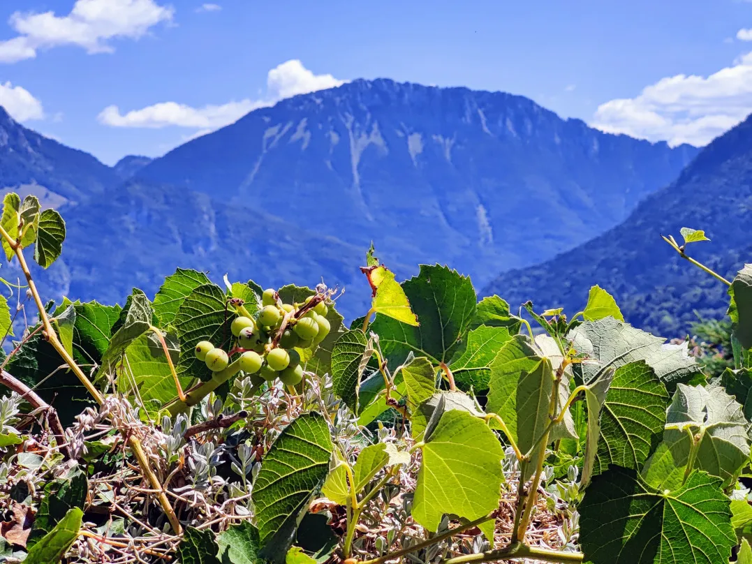
Beautiful first stage in the Alps. This one runs from Lake Geneva into the mountains, to Vinzier. The route largely follows the gorge of the Dranse River. From Reyvroz, the hike descends to the river. This is followed by a steep climb to La Plantaz. The route follows easy walking paths and is not very steep, except for a few sections. In the beginning beautiful views over the lake, later on over the mountains.
Yes, we’re hiking again! After spending 2 weeks by Lake Geneva on the campsite in Sciez, we’re back on the road.
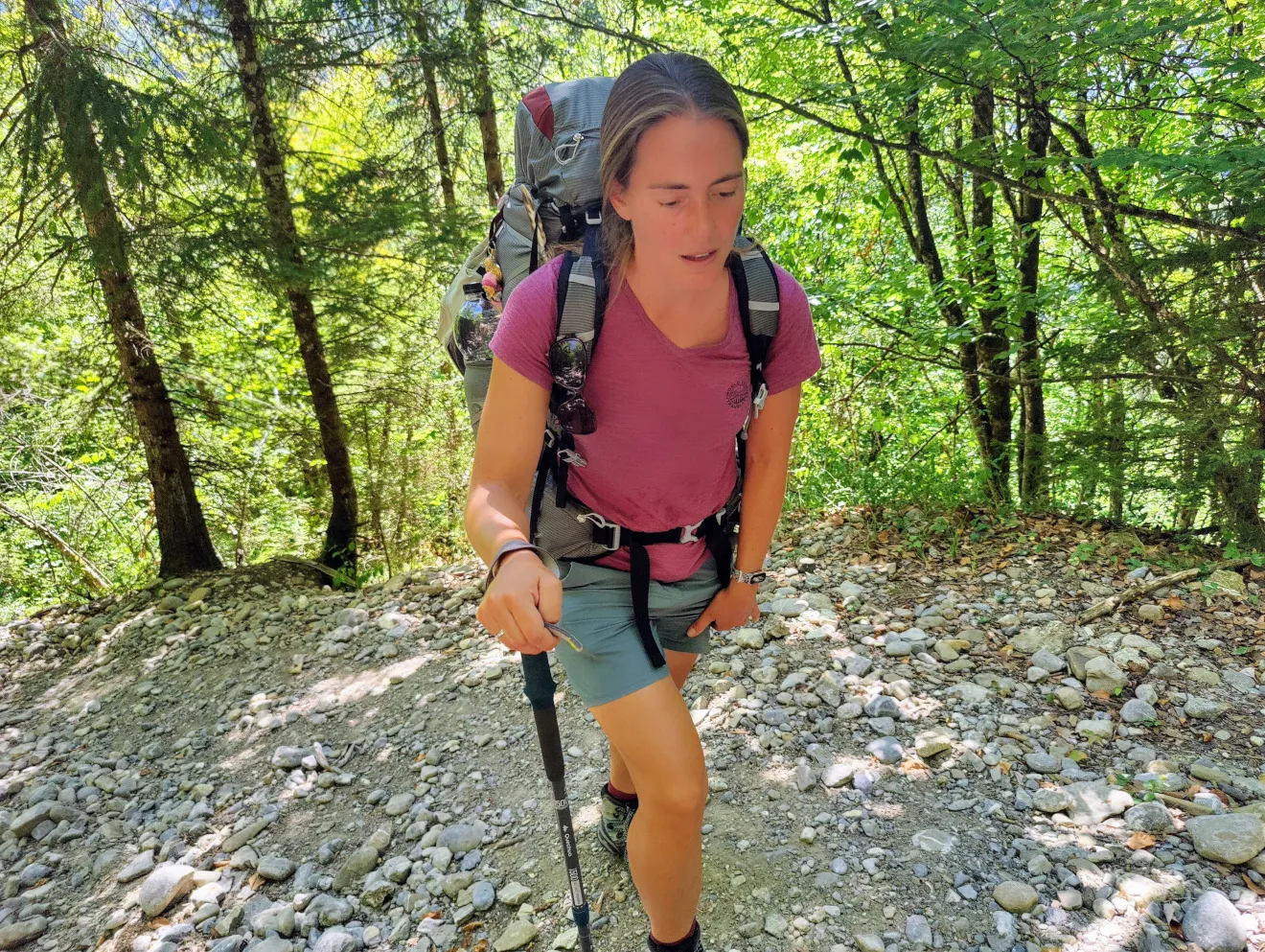
These 2 weeks we bought some new equipment for the next 600 kilometers through the Alps; new hiking shoes, a new backpack for Malou and a new sleeping bag (the previous one turned out to be way too warm for the summer).
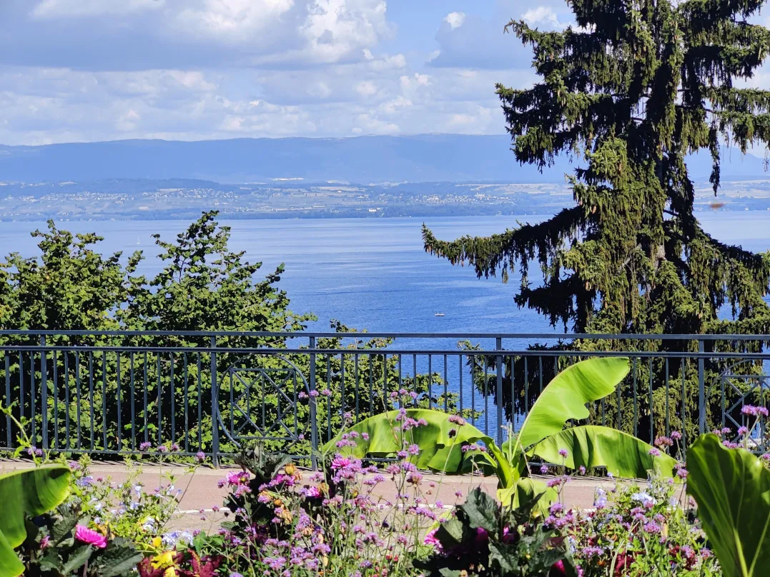
Especially on the backpack we had to wait a long time, but this rest was a wonderful change from the hiking. We swam in the lake almost every day, visited Geneva, updated the website and took it easy. It seemed like vacation, lol.
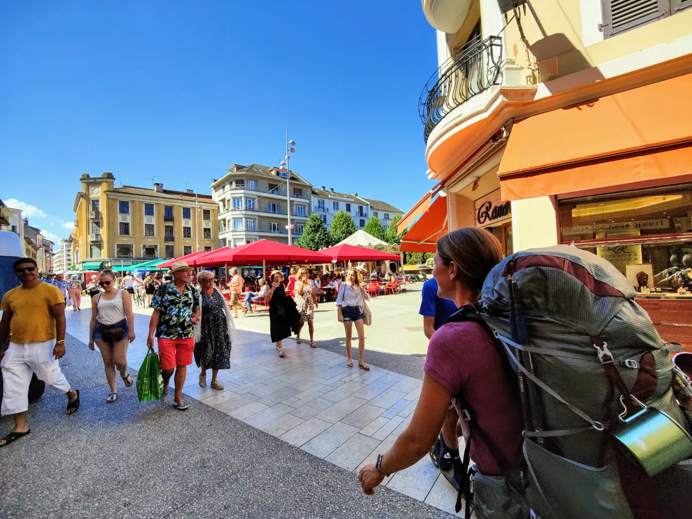
But feels great to be back on the road again, we’re super curious to find out what the Alps will bring us. We actually wanted to make the first stage yesterday, but when preparing at the campsite we discovered that the filter of our Katadyn was clogged. This is our water purification system that we definitely will need in the Alps. We couldn’t risk setting off with a defective filter and had to go shop for a new one. Luckily we succeeded at a camping store, but because of this intermezzo it was already noon before we could even start the hike. So unfortunately we were only able to walk the first few kilometers from the pier in Thonon-les-Bains, to a campsite on the other side of town.
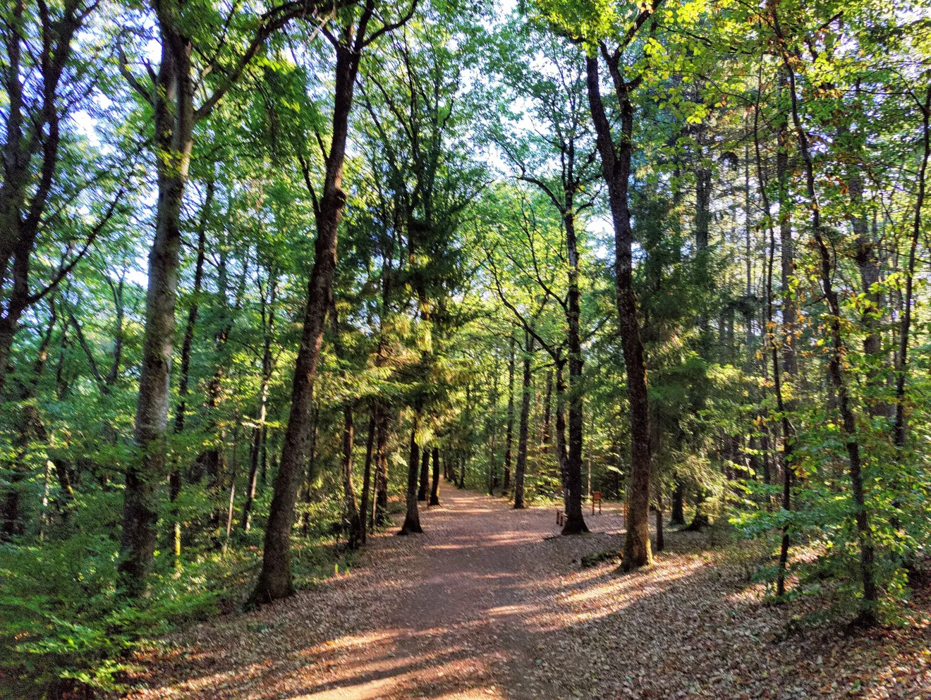
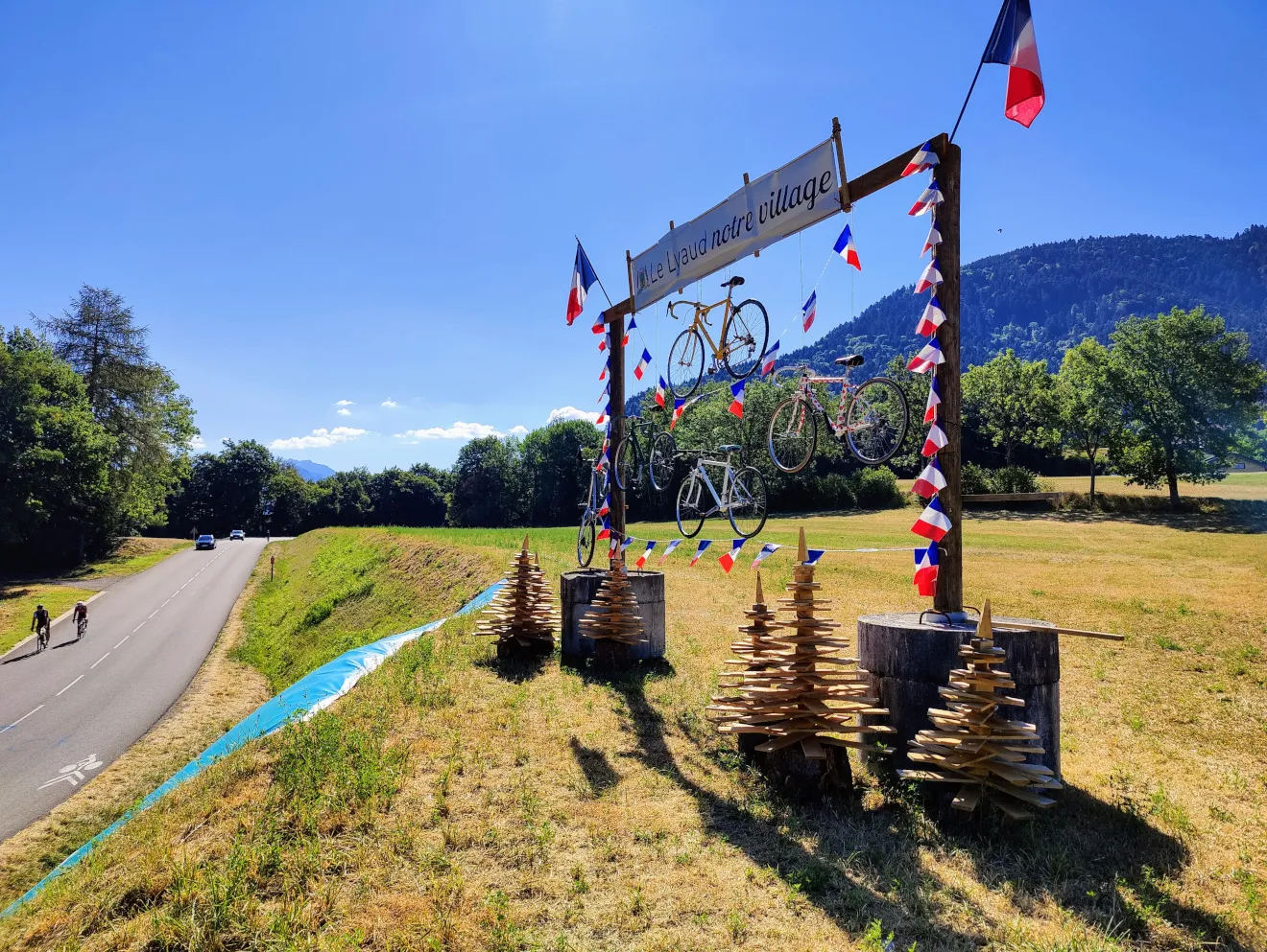
So today we begin our first trek of the Alps with well-rested legs. We start slowly. Today’s stage runs up to the edge of the high mountains, but nevertheless it’s quite a bit of ascending? almost 1,000 meters, and some 400 meters of descending. We cross a bridge over the freeway out of Thonon-les-Bains, through some farmland and fairly soon arrive at a forest slope. Gradually we walk uphill on wide forest paths. There are many hikers making a round in the morning and here and there are wooden fitness machines along the paths. It almost feels park-like. The paths get steeper and steeper until we leave the forest at the top. We cross a paved road, where a work of art with wood and bicycles stands in honor of the Tour de France that passed through here this summer.
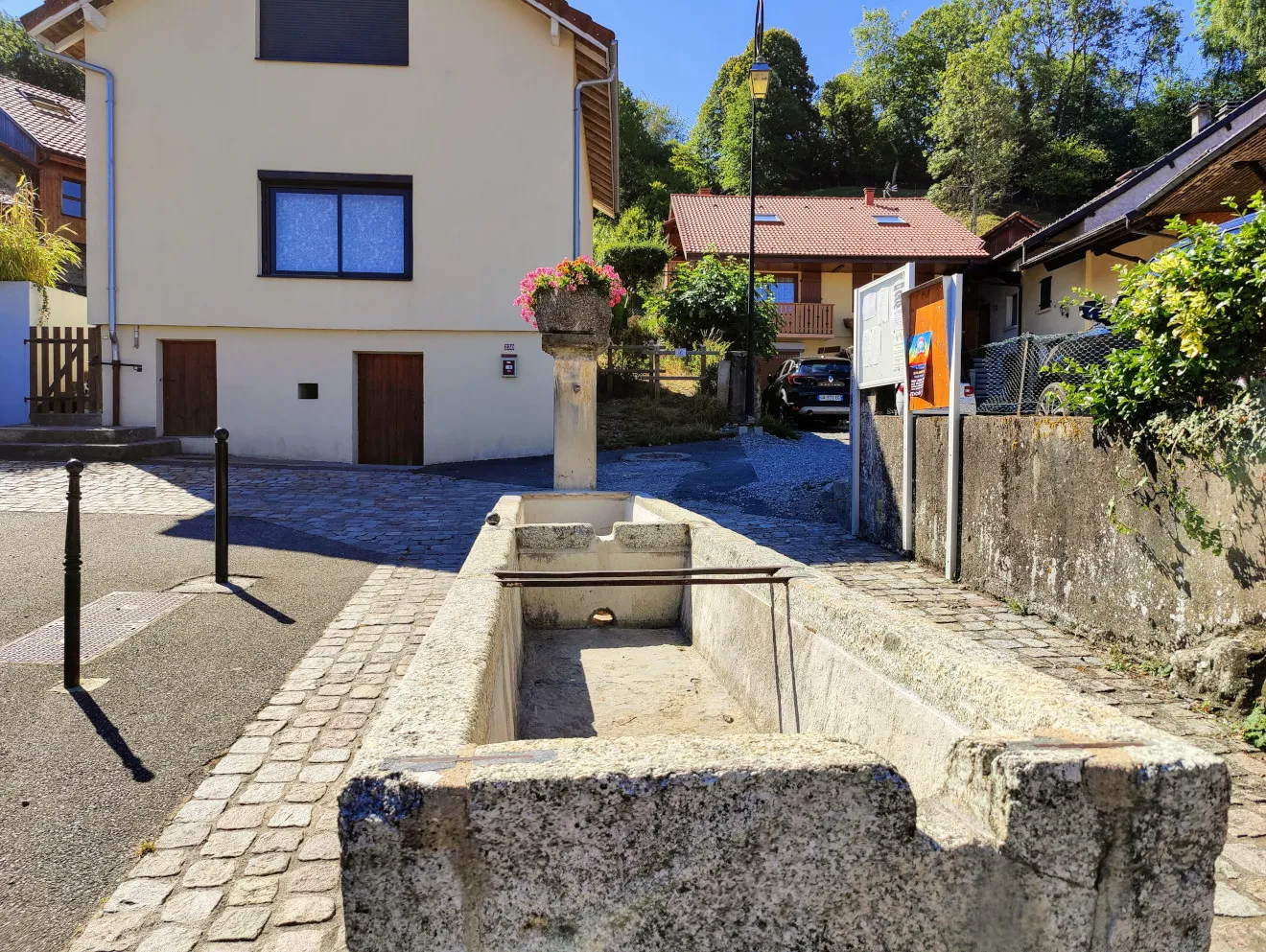
Our map shows a number of water points in the nearest village, so we have been sparingly carrying water this morning to save weight. It shouldn’t be far away from the trail, so at the edge of the village we drop off the backpacks and Mark walks towards the first tap point with 2 empty bottles. Too bad, it’s completely dry. But there are 5 more in the village, so nothing to worry about. But even these all turn out to be dry. Hmmm, we didn’t expect that. Hopefully we’ll find some wells somewhere along the way, otherwise it will be a thirsty walk today. But from this point we do have a magnificent view of Lake Geneva and the Jura. We can even see the little bay where we swam so often.
We continue walking along the village through fields with cows and horses, and just before we start another steep climb, our 8-year-old niece “accidentally” videocalls us. What a nice surprise! So we have a nice break before we start the brisk climb through the forest.
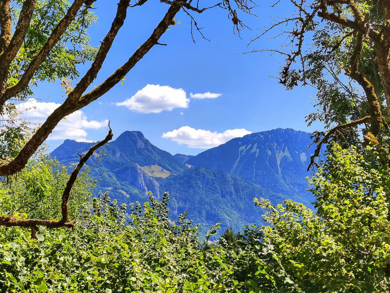
At the top, we take a descent break at the edge of a meadow. From here we can see the first really high mountains in the distance. The next stages will go through and over them…. It looks impressive! After the break we descend a bit to a village. Here a lady is walking her dog and we ask her if there is a water point somewhere in the village. She says that the village has no lavoir, but that there is a tap near the church, at the edge of the village. This is used by residents to water flowers with, but it’s regular drinking water. She tips us that this is the case almost everywhere in France. Well that might come in handy! And it’s great to drink some cool water…
From here the trail leads via small asphalt roads to the river Le Dranse, a descent of about 320 meters, the only one today. We cross the river, from there we follow the main road for a short distance and then the route turns steeply up the slope. This part is really steep and with temperatures of over 30 degrees we shuffle up the forest path foot by foot. It takes some serious effort! When we get to the top and take a break to catch our breath, we are all the more pleased with the drinking water we got earlier.
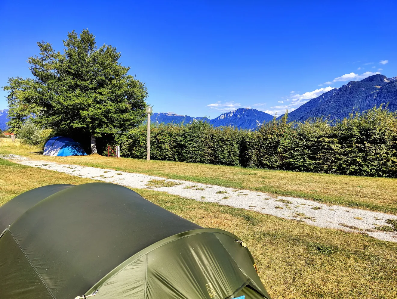
Fortunately, after about a kilometer the road becomes less steep and the trail leads to the campground in Vinzier. From our spot at the campsite we can already see the high peaks of the next stages and it promises to be very beautiful. But the next 2 nights we stay at the quiet camping municipal. It’s Sunday today, so the supermarkets are closed in the afternoon. We need food for 2 stages and one night of wild camping, because we won’t encounter any supermarkets along the way. So we’ll stay over for a day to stock up on enough provisions. And after this stage with quite a few climbs, the legs will get some well deserved rest...