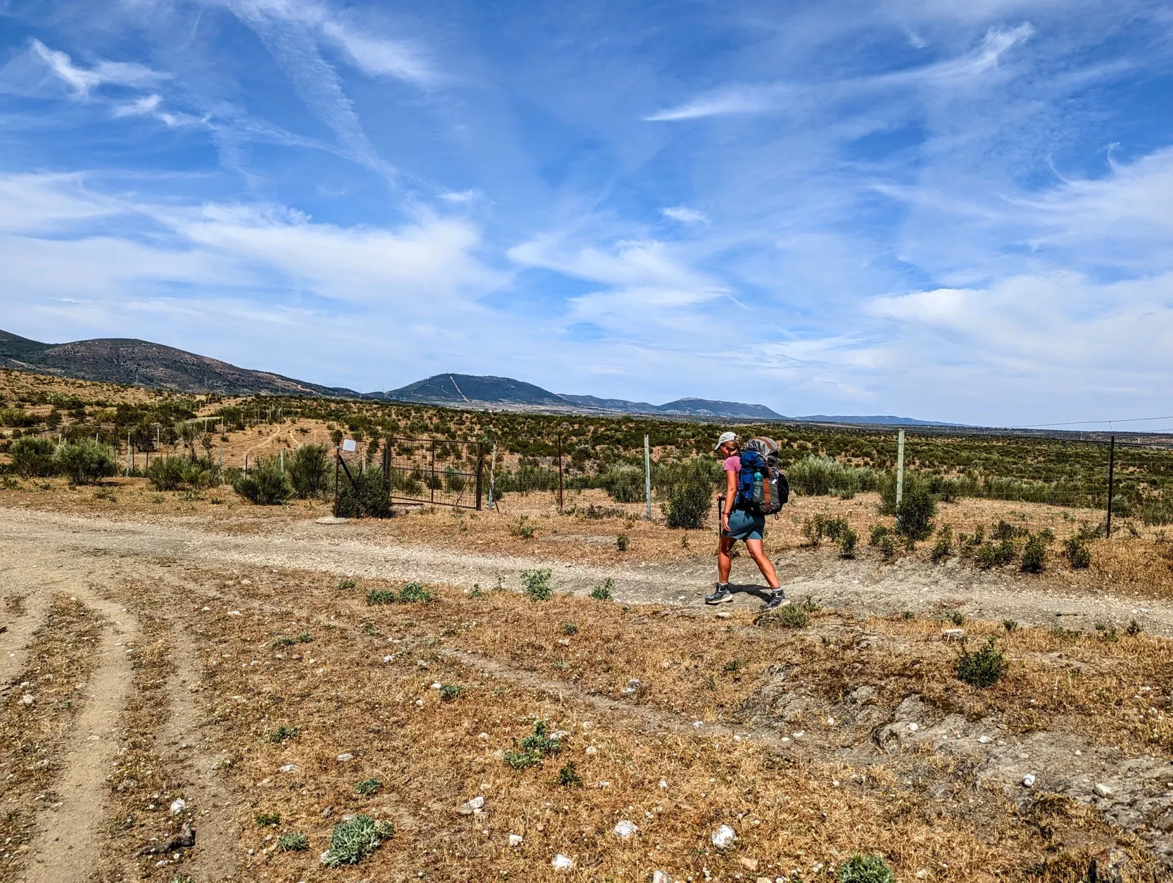
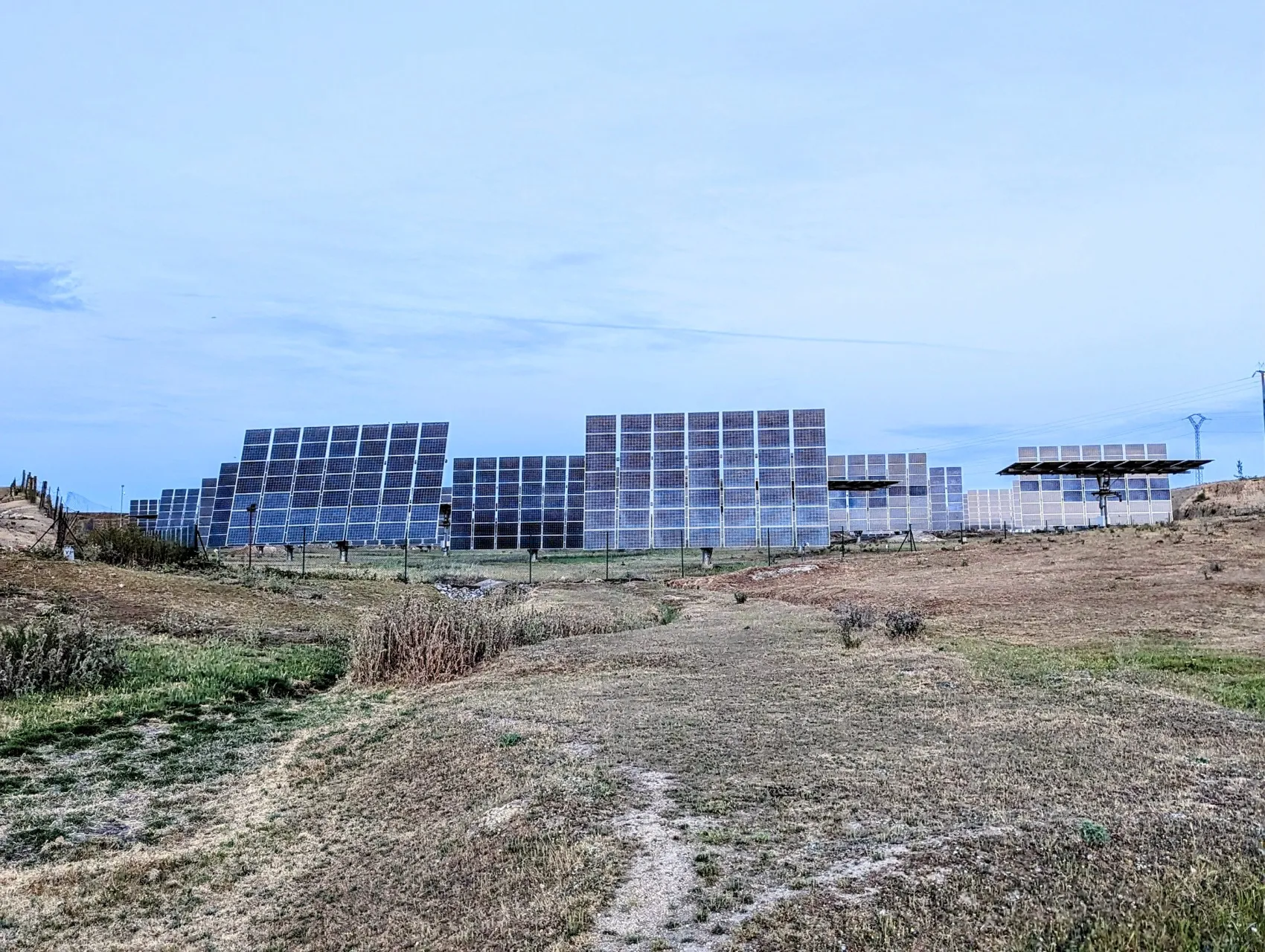
We are out record early today for this trek. We walk out the door at 7 am, straight into the heat. It will be around 32 degrees today and the stage is about 32 kilometers long, so we have prepared well. We set off early and have with 8 litres of water with us, as we won't encounter a village on the way. Unfortunately, 8 liters also means 8 kilos and a backpack with or without water, makes just the difference between a relaxed light or slightly overweight backpack. But in the afternoon the sun gets so hot that we'll need it, especially as the day is already starting this hot. It will be another half hour before the sun rises, so it's just starting to get a little light in the streets. Apart from a butcher opening his business, a rubbish truck and a lady scrubbing her hall and pavement, the streets are empty. Many windows behind the 'bars' are open and even though the windows are well secured, many front doors are also wide open. You can look right into the colourfully tiled halls, usually with some kind of antique ornament. We walk out of the village past a church and continue along the old Roman Via de la Plata. In the field we see large solar panels afain, on tall stands that can rotate with the sun.
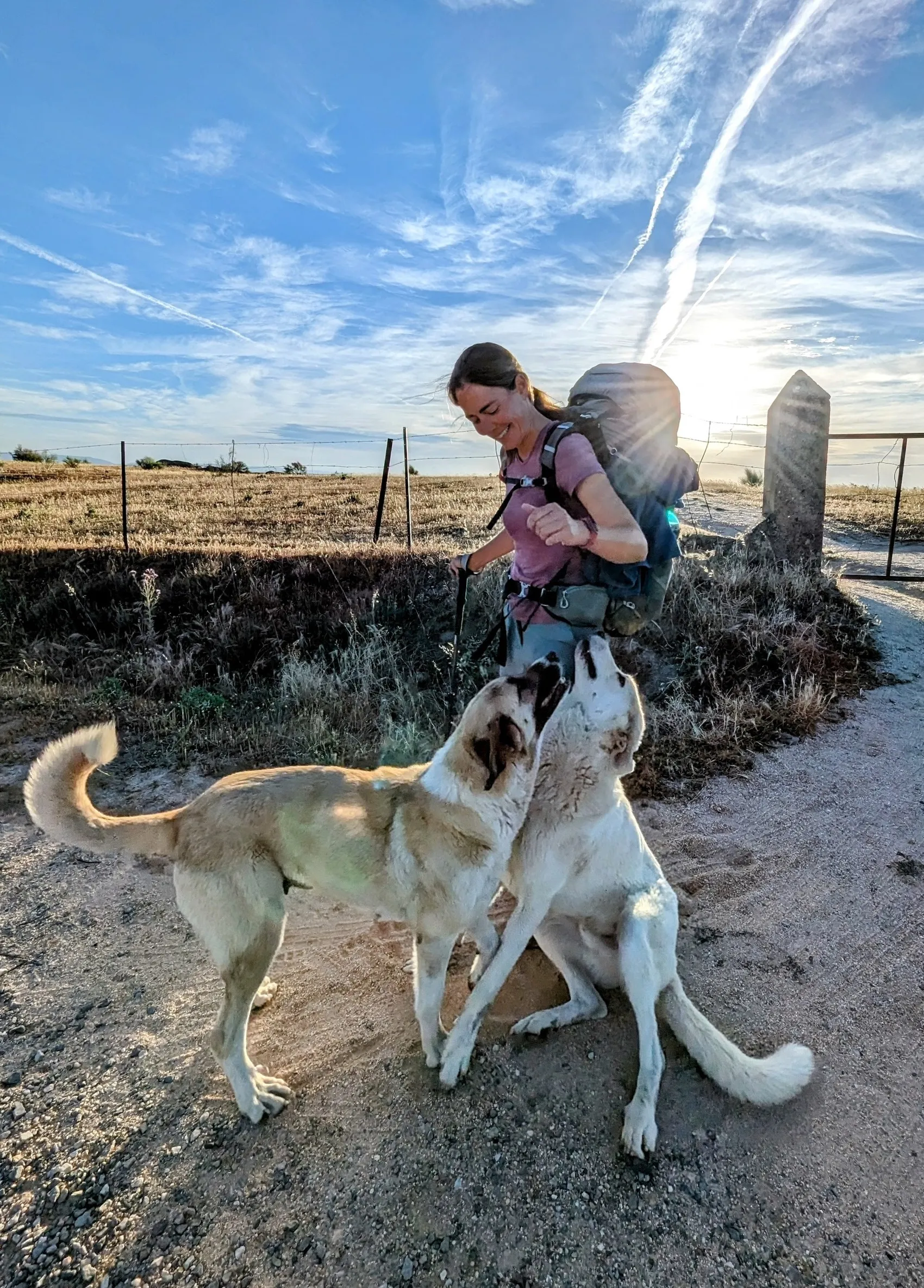
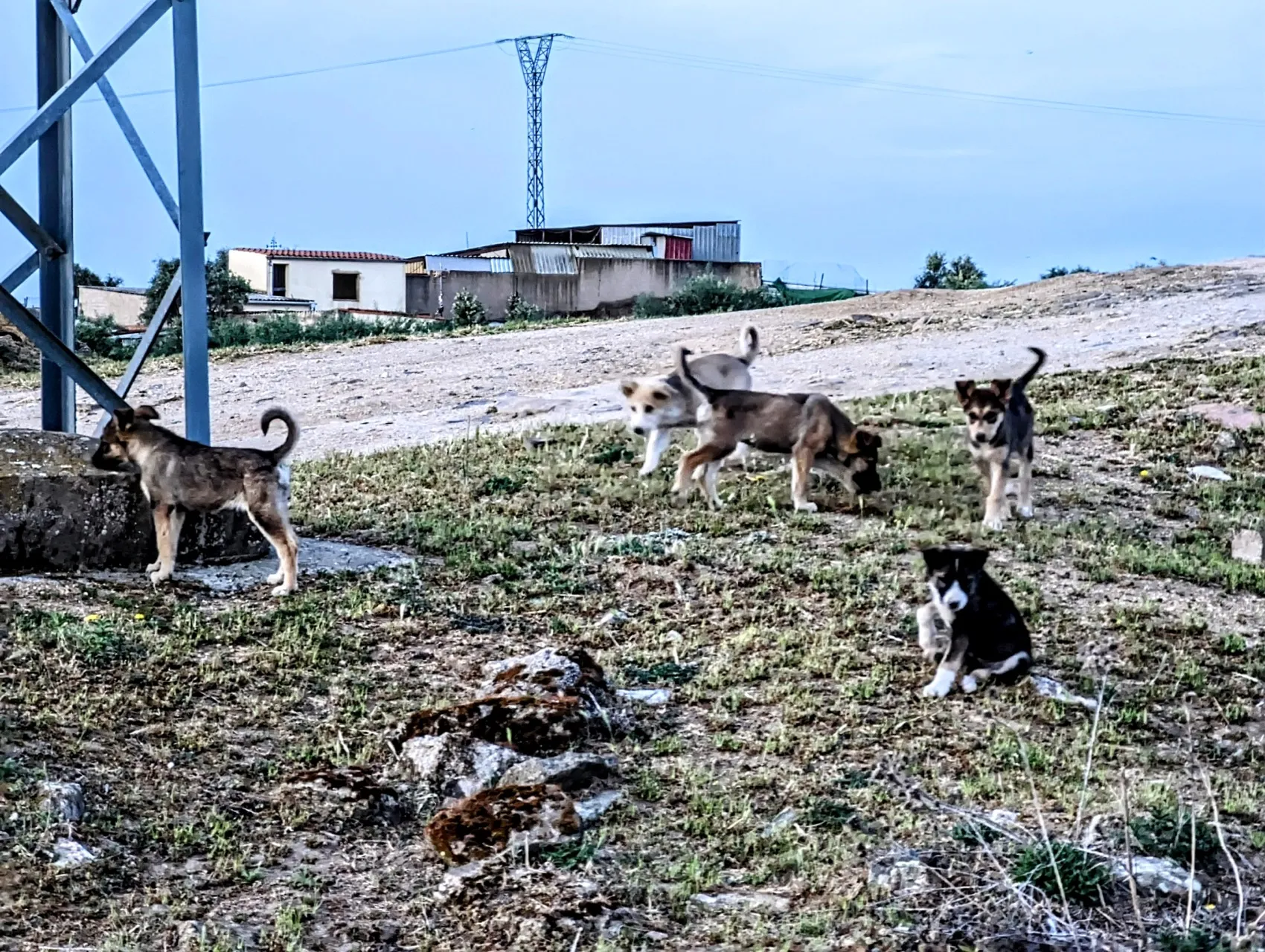
This morning it's a bit cloudy, but throughout the year they will catch quite a few hours of sun around here. We pass a farm where we are greeted by 7 puppies. They come running towards us, but unfortunately are too shy to come up to us and be petted. Not much further, we arrive at an old resting place for shepherds, 'El Descansadero de la Retoña'. Apart from the Roman Via de la Plata and the Camino de Santiago, the route here also merges for a stretch with the Cañada Real de la Plata. This i one of the many routes through the Iberian Peninsula, over which cattle used to be driven from season to season to fresh fields. Last year in the Alps, we already saw shepherds following a fixed route from spring to autumn along the slopes of the mountains. In spring, when there is still snow on the mountains, they start close to the valley, in summer higher and higher up to the grasslands above the tree line. When the season starts to turn, they come back lower and lower to the stables for the winter. Here in Spain, this apparently happened too, but in a slightly different way. In search of green pastures, hundreds of kilometers a year were covered on set routes from the sierras across the plains towards the interior and back again. From pond to stream and river. Huts like this provided shelter for the shepherds and there was always water for the cattle. Nowadays, the animals are allowed to stay in one place a bit more and the huts have now been restored as resting places for hikers to take shelter if it rains, but mainly to provide shade. We walk for kilometers past low walls of stacked stones, meadows with cows and sheep, and we enjoy the rising sun and the changing light on the mountains. Occasionally we pass abandoned farms or barns that now serve as storage for farmers. They are well fenced and guarded by dogs. The owners come by once a day to feed the animals, but besides that they're alone. They bark when we walk by, but it's usually clear right away that they mean no harm. One piece of land in the middle of nowhere is fenced off with wire netting and barbed wire, but two large dogs know unerringly how to find the spots to crawl under it and onto the path. They're a type of dogs for which running away would normally be pointless, but these throw themselves in front of us to be petted. And with their size, bending down is not necessary. It's a bit of a scare, but what impressive, sweet animals!
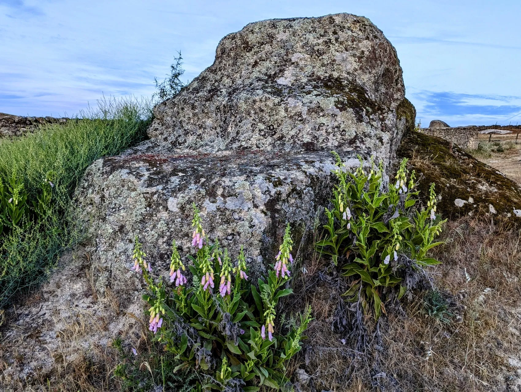
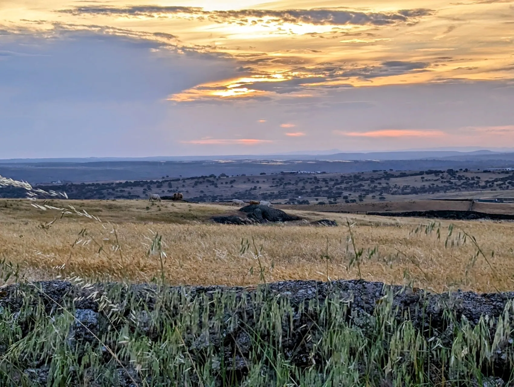
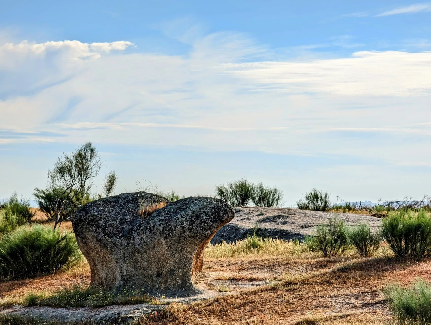
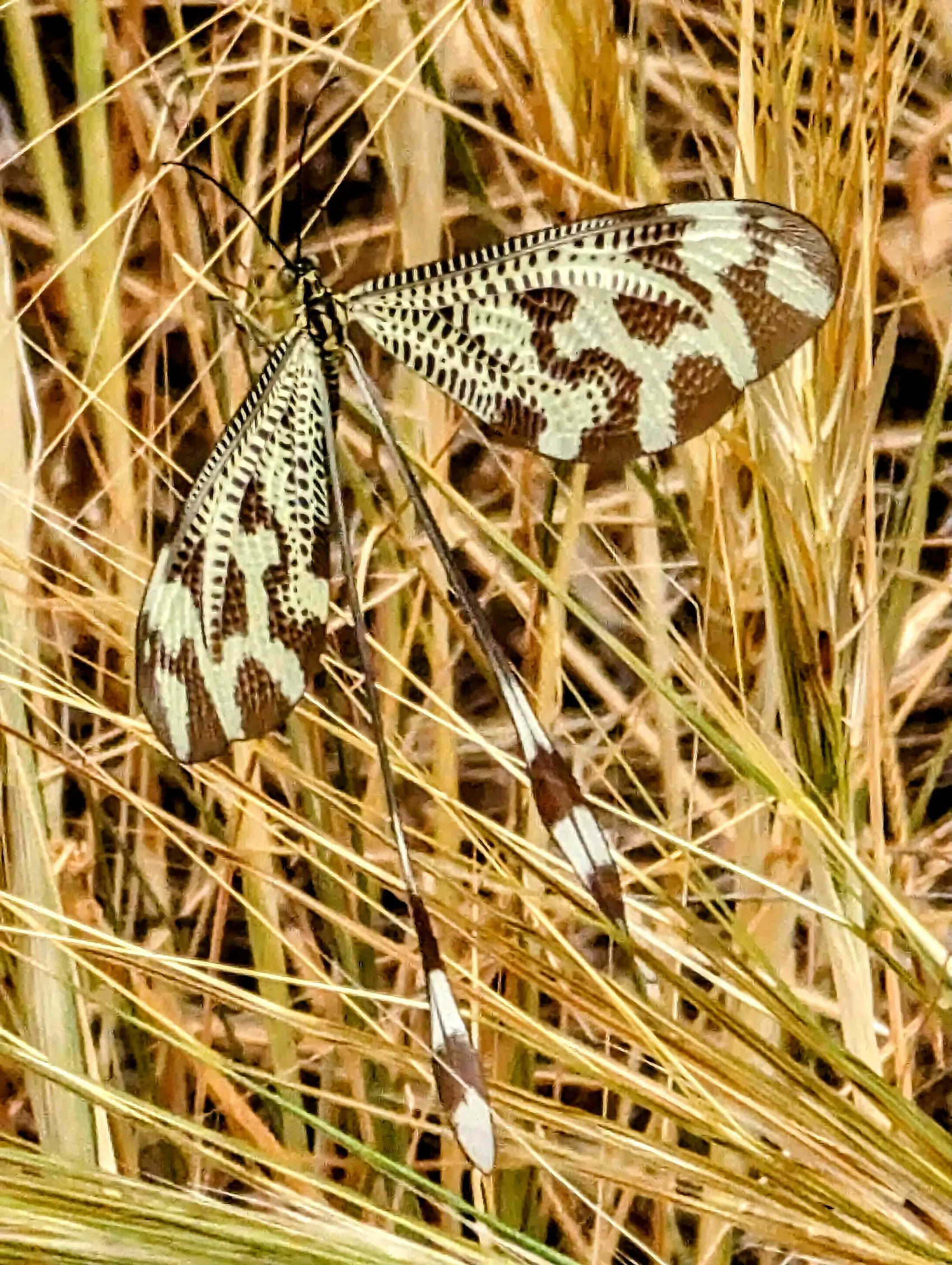
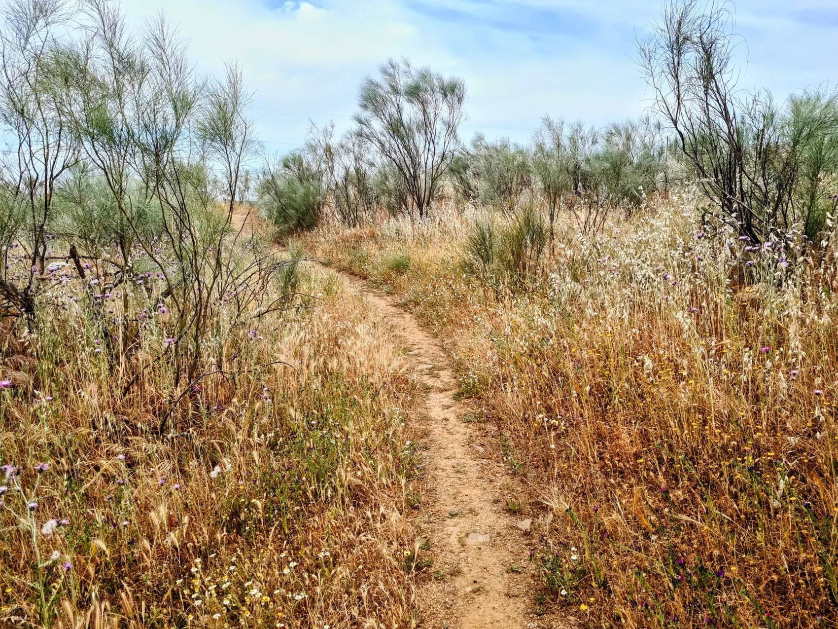
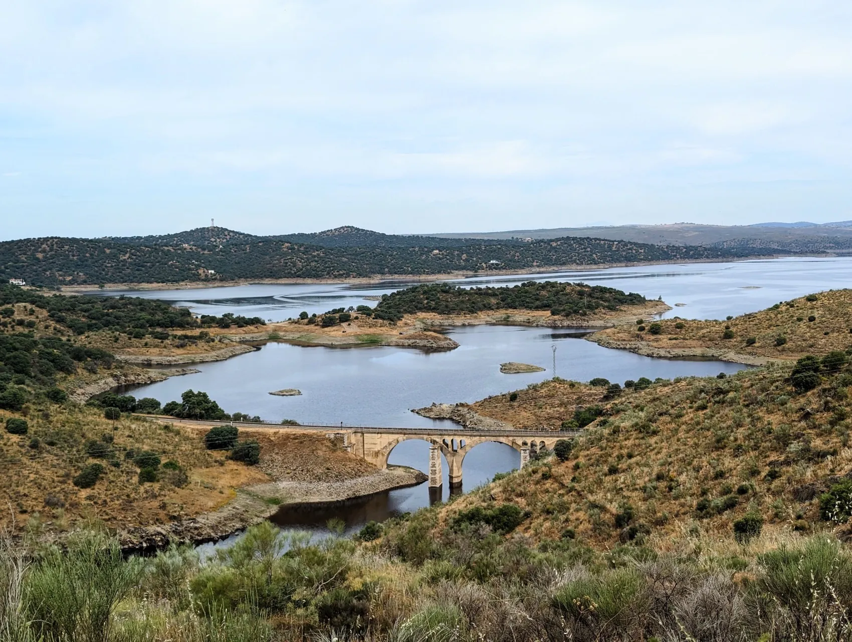
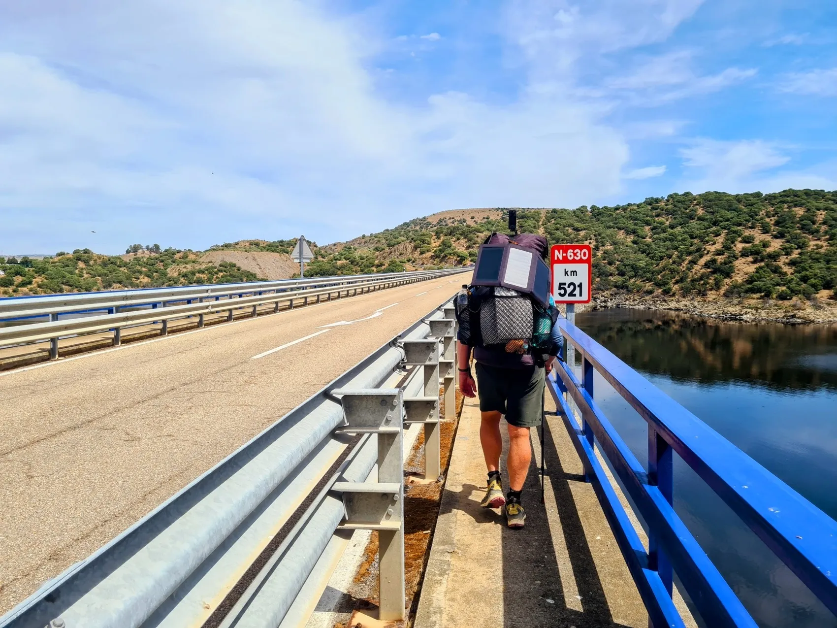
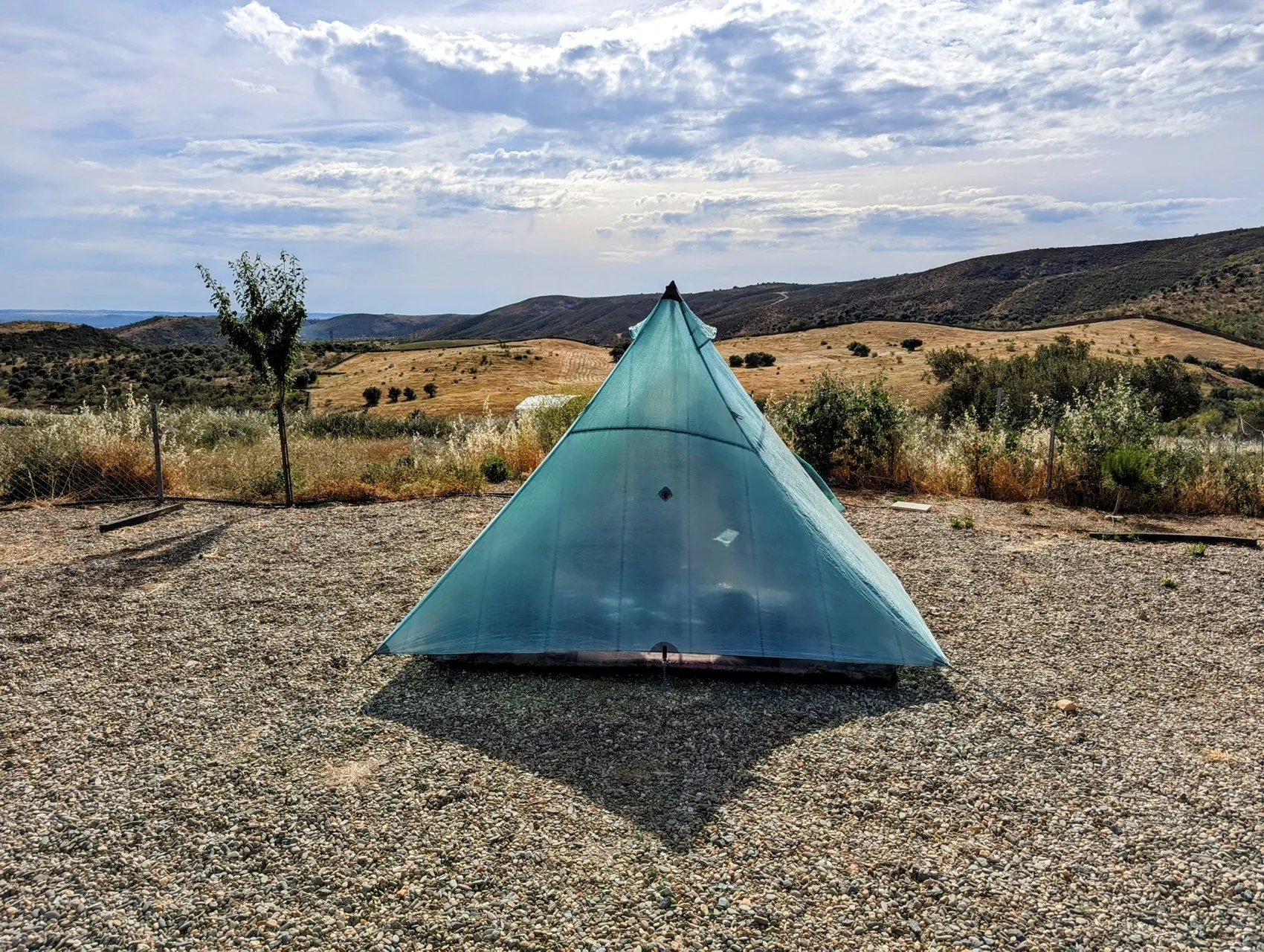
We continue to follow the dry landscape. It's dotted with large stones here, worn down into beautiful round shapes. Here in Spain, they are called 'dientes de perro' or dog's teeth. Nice to realise that people have been walking past these same stones for centuries and must also have marvelled at the shapes. After 15 kilometers, we have to get off the Roman road. We reach reservoir Embalse de José María Oriol and the Via de la Plata now runs along the bottom there. From here on, the route is laid over a newer path, we walk along slopes and later on for several kilometers on the N-630, which has also been reconstructed by the arrival of the lake. It's a large lake, for a long time it was one of the largest in Europe, used mainly for generating electricity. This is the season when the lake should be completely filled, but quite a few liters can still be added, given the dry spots. Normally March and April are the wettest months. Recently we had one rainy evening, otherwise we have not had a drop of rain. The temperature here in May averages 24 degrees, but right now, by the end of April, it has been above 30 degrees for days. And we've hardly had less than 25 degrees in the past few weeks, so that must affect the lake. On the path we see a creature flying that we have never seen before: a dragonfly-like butterfly with two long tails on its wings. We look it up and it turns out it's called the 'Iberian Spoonwing', also known as the Nemoptera Bipennis, and is found mainly in Spain and sometimes in southern France. They could have flown right out of an Avatar film! After seeing the first one, we see one after the other on this stretch, hiking up to the road. The main road is nice for a while to pick up some pace. It's 1 pm and we've hiked about 20 kilometers. So we have another 12 kilometers to go. The road runs over two long, high bridges. Nice to be able to look on top of the swallows, that skim under the bridge. We have a view of even higher bridges of the high-speed railway line, which runs a little further. By the way, the TGV-like train that passes over it does not go very fast at all. Local residents jokingly say that the train goes at three different speeds: slow, very slow or not at all. Because modern stretches of track with long bridges are interspersed with Spain's oldest stretches of rails, they cannot reach the speeds as in other parts of Spain, which is quite a bummer for the development of the area. For us, after we are back on the track and have a steep climb behind us, the big bridges are nice. We take a good break in the shade of the structure while overlooking the beautiful Spanish countryside. The final kilometers to Cañaveral are dry, long and, due to the high temperatures, quite tough. The water is down to the last drop when we reach the village. By 5 o'clock we arrive at the motorhome campsite, near the edge of the town. We have phoned to ask whether we can camp there with our tent, but they still look a bit strange when we arrive. But we are allowed to pitch it after all. Even now, at 5 o'clock it's still scorching hot in the sun. After pitching and furnishing the tent, we seek shade on the terrace. Lovely after such a beautiful trip. And so nice to be at a campsite again!